
Product details
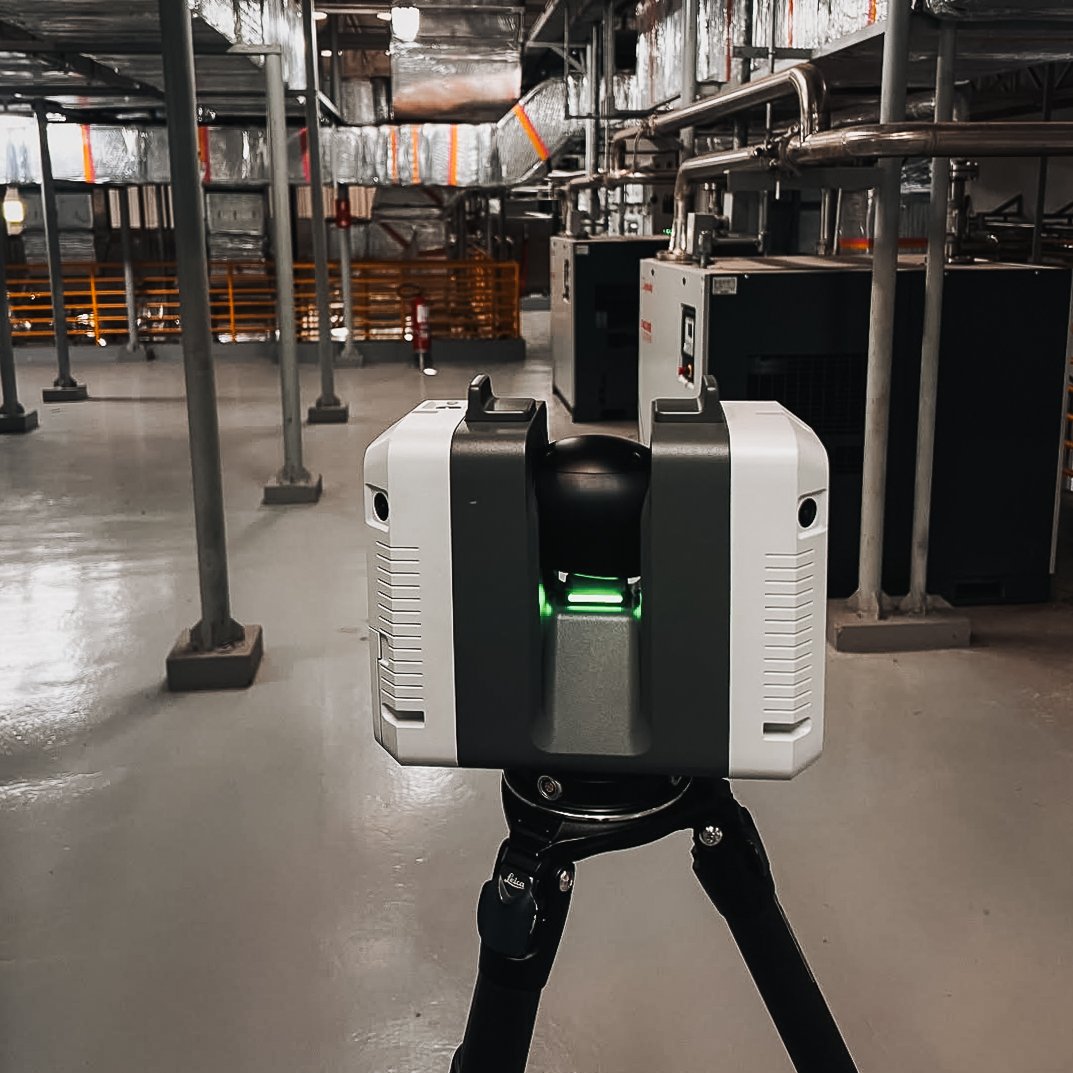
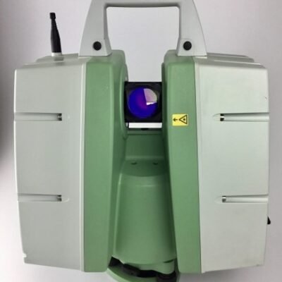
Leica RTC360 3D Laser Scanner
The Leica Geosystems RTC360 is a cutting-edge 3D laser scanner engineered for fast, accurate, and efficient reality capture. Designed for professionals in surveying, construction, and engineering, this system combines high-speed scanning with advanced automation to simplify fieldwork and data processing.
With its ability to capture detailed point cloud data in seconds, the RTC360 has become a preferred solution for projects requiring both speed and precision.
Key Features of Leica RTC360
Ultra-Fast Scanning Performance
The RTC360 captures up to millions of points per second, significantly reducing time spent on-site while maintaining high accuracy.
VIS Technology (Visual Inertial System)
Leica’s proprietary VIS technology automatically tracks scanner movement between setups, enabling seamless registration of scans in real time.
High-Quality Imaging System
Integrated HDR cameras capture detailed imagery, allowing for colorized point clouds and improved visualization.
Automated Field Workflow
The system simplifies scanning with intuitive controls and automated data alignment, reducing the need for manual intervention.
Benefits of Leica RTC360
Increased Productivity
Faster scanning and automatic registration dramatically reduce project timelines.
High Accuracy and Reliability
Advanced sensors and calibration ensure consistent and precise measurement results.
Reduced Field Errors
Real-time data verification helps identify missing areas during scanning, minimizing rework.
Seamless Data Integration
Compatible with industry-standard software for efficient processing and analysis.
Applications of Leica RTC360
Construction and BIM
Capture accurate site data to support Building Information Modeling (BIM) workflows and project planning.
Surveying and Mapping
Generate detailed spatial data for topographic surveys and land development.
Heritage and Architecture
Document historical structures and buildings with high-resolution 3D models.
Industrial Inspection
Inspect facilities, machinery, and infrastructure with precise point cloud data.
How Leica RTC360 Works
The RTC360 emits laser pulses to measure distances and create a dense 3D point cloud of the environment. Using VIS technology, the scanner automatically tracks its position as it moves, enabling real-time alignment of multiple scans.
This process eliminates the need for complex post-processing and allows users to verify data directly in the field.
Technical Highlights
Scanning Performance
High-speed laser scanning
Dense point cloud generation
Real-time scan registration
Imaging Capabilities
DR imaging system
Colorized point clouds
High-resolution visual data
System Design
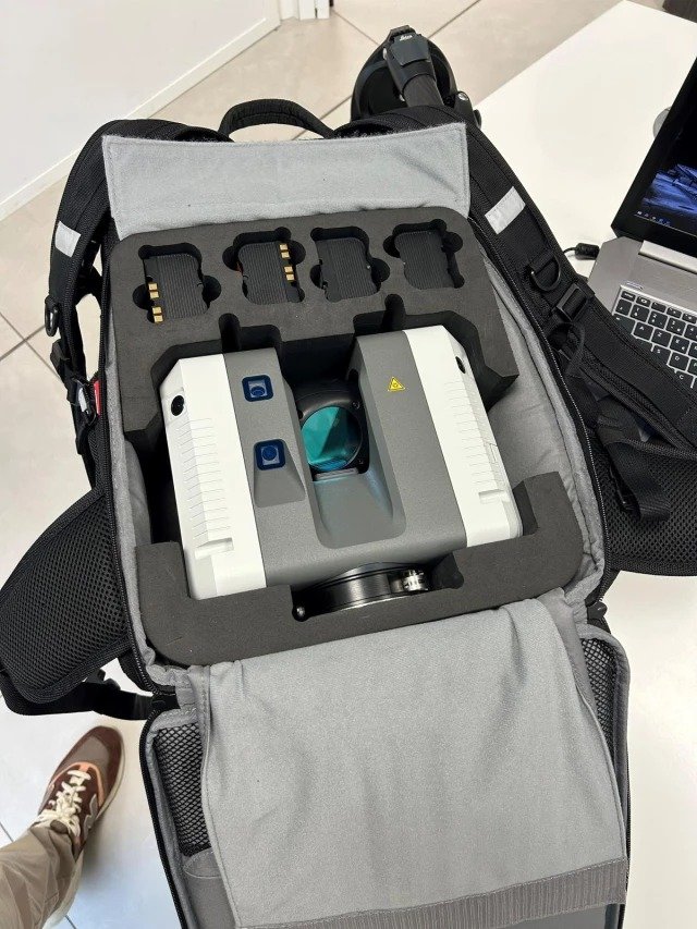
Lightweight and portable
Intuitive touchscreen interface
Field-ready construction
Why Choose Leica RTC360
Speed and Efficiency
Designed for rapid data capture, reducing time spent on-site.
Advanced Automation
VIS technology simplifies workflows and improves accuracy.
Professional Reliability
Built with Leica’s proven expertise in geospatial measurement.
Ideal Users
Surveyors
Engineers
Architects
Construction professionals
Facility managers
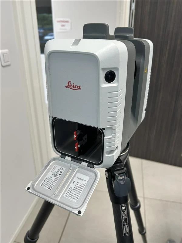
Package includes:
– Leica RTC360 Laser Scanner
– Transport Container
– GEB361 Lithium-Ion Battery
– GKL341 Multichanger Prof 5000
– 256gb USB Flash Drive
– Rain Cover
– System USB Card
– GST80 Lightweight Tripod
– GVP730 Backpack
– GAD121 Tribrach Adapter
– GAD122 Adapter
– RTC360 Quick Guide
– 1 Year Basic CCP
There are no reviews yet.