
Product details
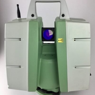
Trimble X9 3D Laser Scanner: Reliable Performance for Everyday Reality Capture
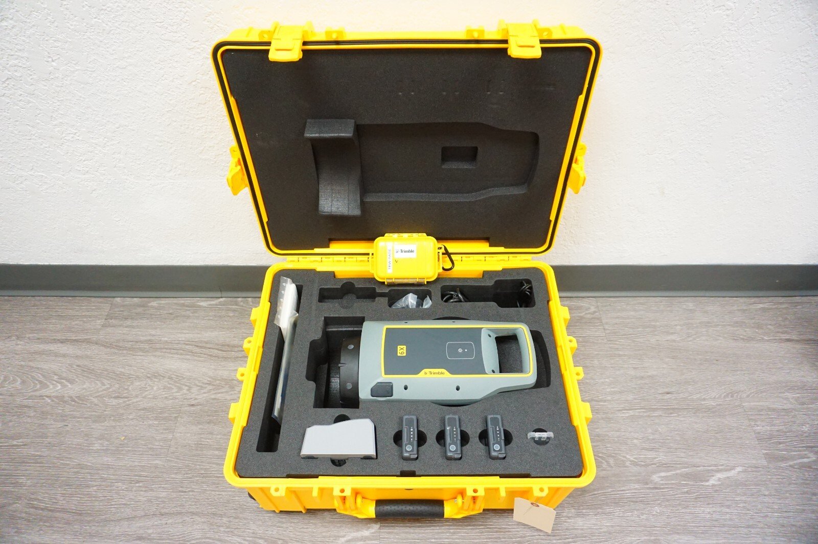
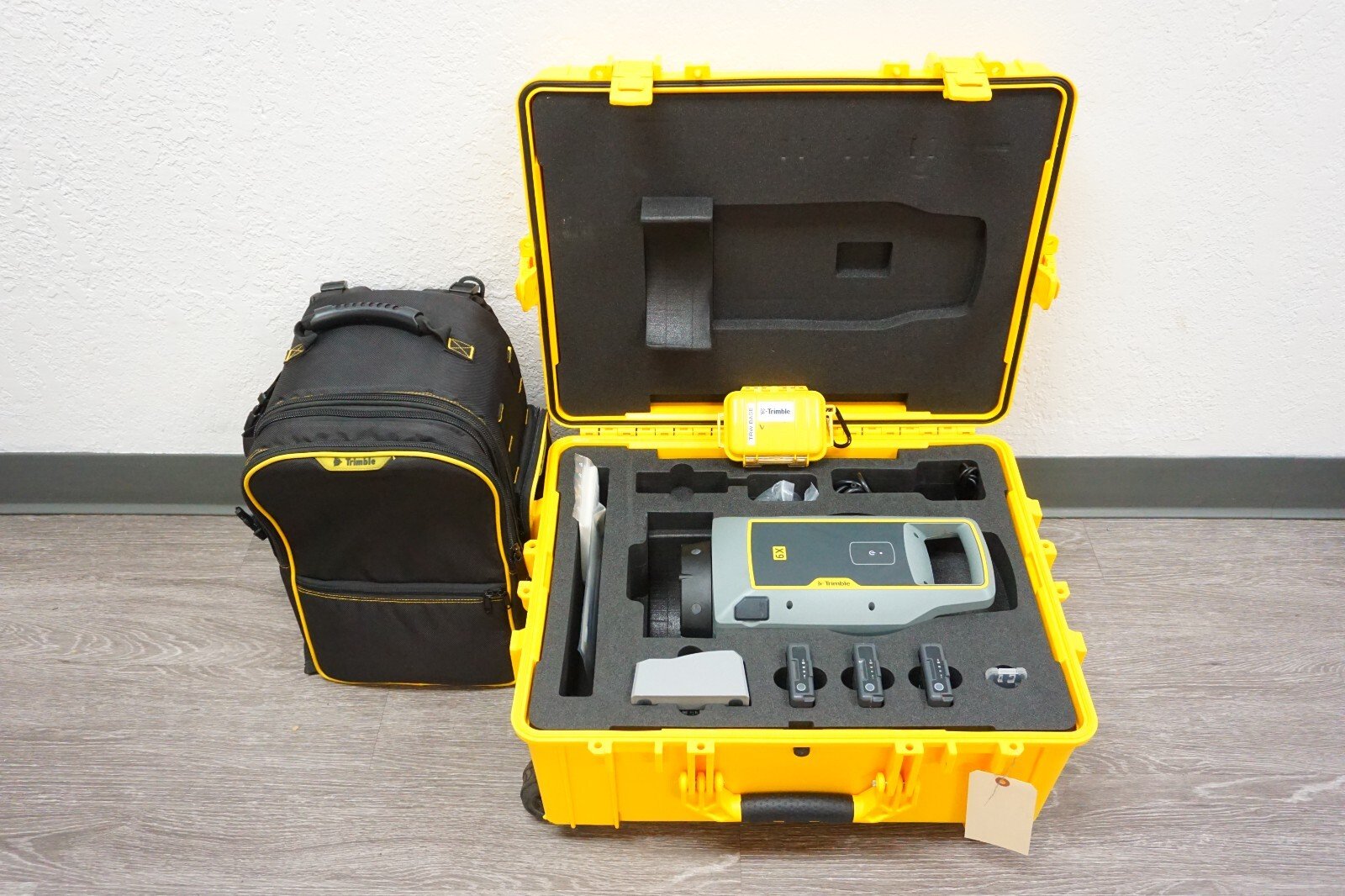
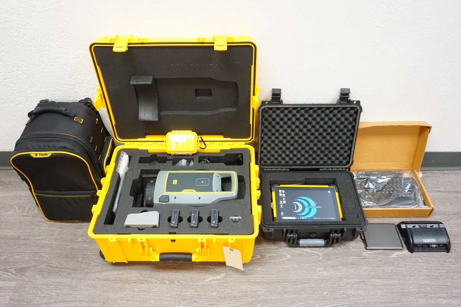
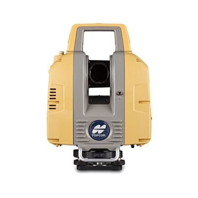
The Trimble X9 3D Laser Scanner is a versatile and efficient reality capture solution designed for professionals who need accurate 3D data without complex workflows. Developed by Trimble Inc., the X9 delivers dependable performance, making it an excellent choice for surveying, construction, and geospatial applications.
Key Features of the Trimble X9
Automated Self-Calibration
The Trimble X9 is equipped with an automatic calibration system that ensures consistent accuracy in every scan. This reduces setup time and minimizes the need for manual adjustments in the field.
Fast and Efficient Scanning
With optimized scanning speed, the X9 allows users to capture high-quality point cloud data quickly, improving productivity across projects.
Integrated Imaging System
The built-in camera system captures detailed imagery alongside spatial data, enabling better visualization and documentation.
Compact and Portable Design
Lightweight and easy to transport, the Trimble X9 is ideal for fieldwork in various environments, from indoor sites to outdoor terrains.
User-Friendly Interface
Designed with simplicity in mind, the intuitive interface ensures that both beginners and experienced professionals can operate the scanner efficiently.
Technical Specifications
Scanning Capabilities
Reliable mid-range scanning performance
High-density point cloud capture
Consistent measurement accuracy
Imaging Features
Integrated panoramic camera
Colorized point cloud output
Connectivity Options
Wireless communication
USB data transfer
Compatibility with cloud-based workflows
Power System
Long battery life for extended field use
Replaceable battery design
Applications of the Trimble X9
Construction and As-Built Documentation
The Trimble X9 is widely used to capture accurate as-built conditions, helping teams reduce errors and improve project coordination.
Surveying and Mapping
Surveyors rely on the X9 for efficient topographic data collection and land measurement tasks.
Infrastructure and Utilities
The scanner supports documentation of roads, bridges, and utilities, aiding maintenance and planning processes.
Architecture and Engineering
Professionals in design and engineering use the X9 to create precise 3D models for analysis and visualization.
Software Integration and Workflow
Trimble Ecosystem Compatibility
The Trimble X9 integrates seamlessly with software such as Trimble Perspective for field operations and Trimble RealWorks for office processing.
Real-Time Registration
Automatic scan alignment in the field reduces post-processing time and enhances workflow efficiency.
Data Sharing and Collaboration
Cloud integration enables teams to access and share data easily, improving collaboration across project stakeholders.
Advantages of Using the Trimble X9
Cost-Effective Solution
The Trimble X9 provides a balance between performance and affordability, making it suitable for a wide range of professionals.
Reliable Accuracy
Consistent measurement results ensure dependable data for decision-making.
Simplified Workflow
Automation and intuitive controls reduce complexity, allowing faster project completion.
Comparison with High-End Laser Scanners
Trimble X9 vs Trimble X12 3D Laser Scanner
While the X12 offers higher performance and advanced features for complex projects, the X9 focuses on simplicity, portability, and cost efficiency for everyday tasks.
Practical Use Cases
The X9 is ideal for standard surveying and construction workflows, while higher-end models are better suited for large-scale or highly detailed scanning projects.
Best Practices for Optimal Use
Proper Setup
Ensure stable tripod placement and optimal positioning for maximum coverage and accuracy.
Routine Maintenance
Keep the scanner clean and regularly check components to maintain performance.
Efficient Data Management
Organize and back up scan data to streamline processing and prevent data loss.
1. General Overview
Product Type: Terrestrial 3D Laser Scanner
Manufacturer: Trimble Inc.
Configurations: Core LT, Core, Premium
Application: Surveying, construction, BIM, forensics, infrastructure
2. Scanning Performance
Scan Speed: Up to 1,000,000 points/second (1000 kHz)
Scan Range: 0.6 m – 150 m
Scan Time: < 1 minute – 6 minutes per scan
Laser Class: Class 1 (eye-safe)
Angular Accuracy: ~16 arcseconds
Point Accuracy: ~3 mm @ 20 m
Range Noise: < 1.5 mm @ 30 m
3. Imaging System
Integrated HDR camera system
3 coaxial calibrated cameras (10 MP)
Colorized point cloud output
Image acquisition time:
Standard: 1–2 minutes
HDR: 2–6 minutes
4. Calibration & Leveling
Automatic Calibration (X-Drive Technology)
No user interaction required
Self-Leveling Accuracy: < 3 arcseconds
Tilt Compensation Range: ±10°
5. Hardware & Design
Built-in laser pointer for georeferencing
Rugged field-ready construction
Compact and portable design
Enclosed internal components for durability
6. Environmental Specifications
Ingress Protection: IP55 (dust & water resistant)
Operating Temperature:
-20°C to +50°C (-4°F to 122°F)
Designed for harsh outdoor environments
There are no reviews yet.