
Product details
GeoMax Zoom90 R A10 2″ Robotic Total Station: Smart Surveying with Maximum Efficiency
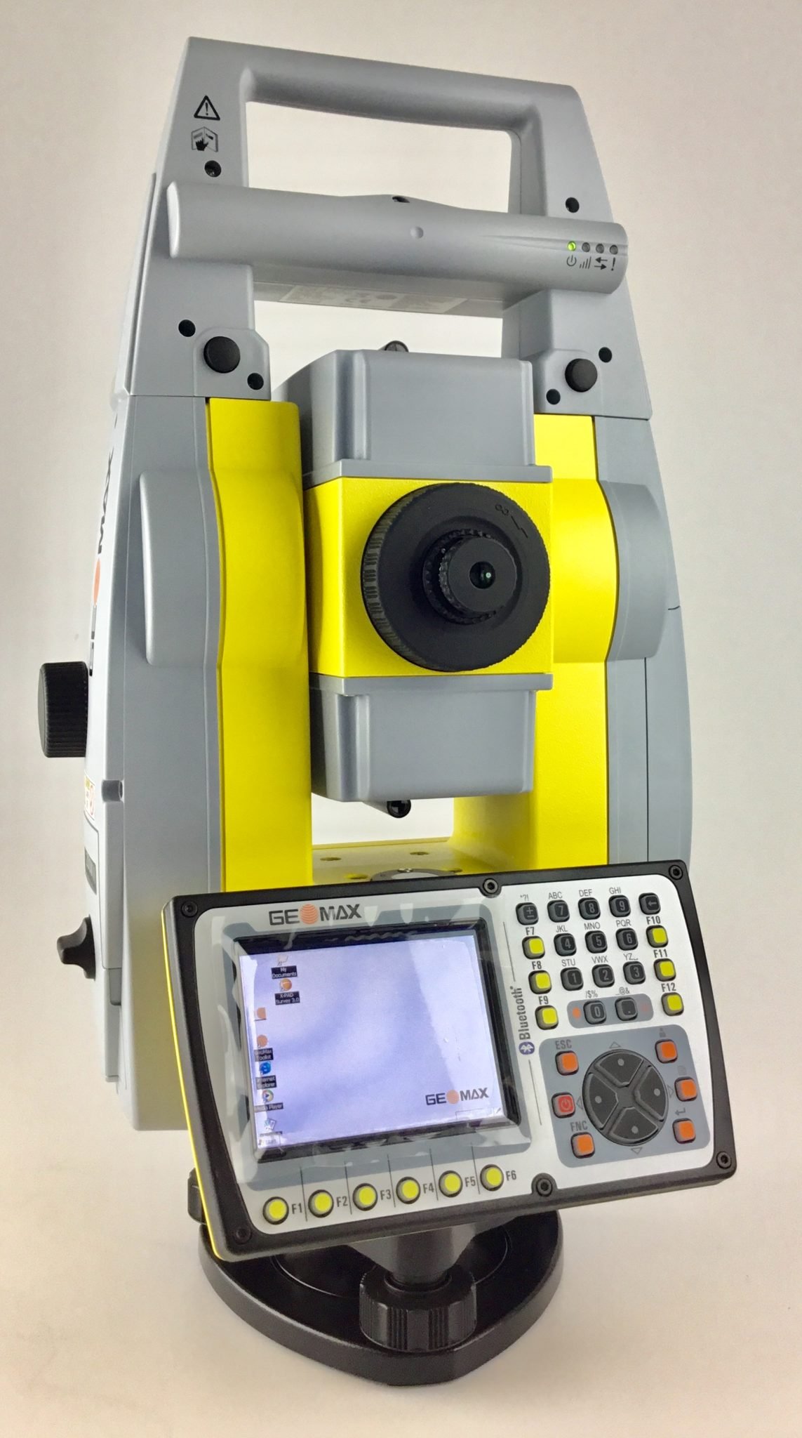
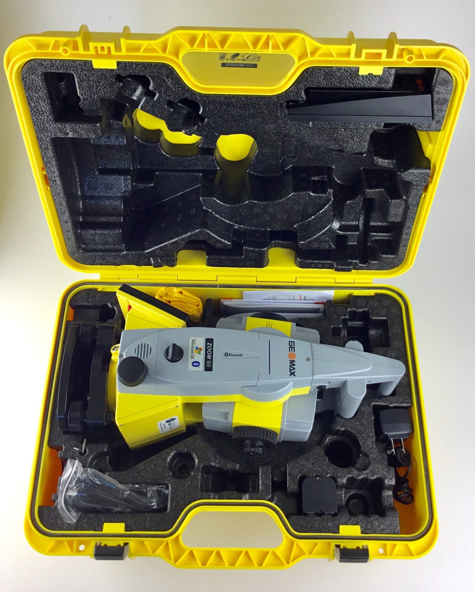
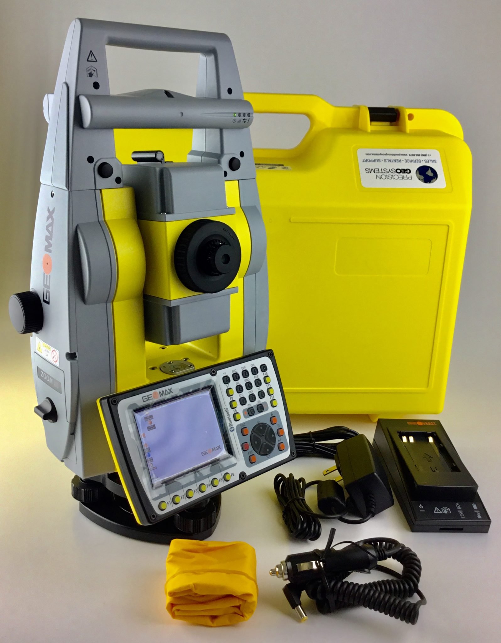
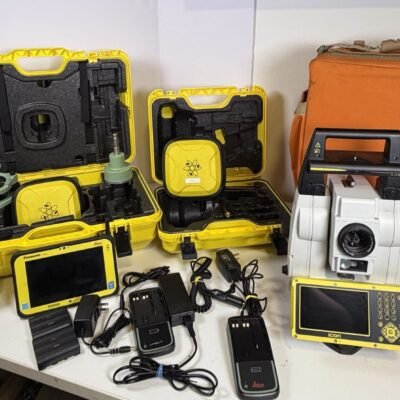
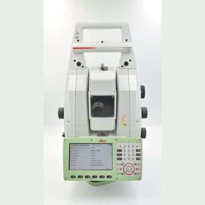
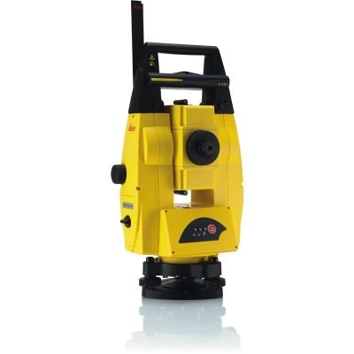
The GeoMax Zoom90 R A10 2″ Robotic Total Station is a high-precision surveying instrument engineered for automated field operations and reliable performance. Manufactured by GeoMax, this robotic total station combines advanced tracking technology, intuitive software, and durable construction to support modern surveying and construction workflows.
Key Features of the GeoMax Zoom90 R A10
2 Arc-Second High Accuracy
The Zoom90 R A10 provides 2″ angular accuracy, ensuring precise measurements for demanding applications such as construction layout and geodetic surveys.
Robotic Automation with STReAM360 Technology
Equipped with STReAM360 technology, the instrument enables automatic prism search, lock, and tracking, allowing efficient one-person operation in the field.
Long-Range Reflectorless Measurement
The device offers reliable distance measurement in reflectorless mode, making it suitable for inaccessible or hazardous locations.
Scout, TRack, and AiM Functions
- Scout: Rapid prism search across the job site
- TRack: Continuous prism tracking even in dynamic conditions
- AiM: Accurate targeting without manual intervention
User-Friendly Interface
Designed for ease of use, the system simplifies workflows, enabling surveyors to operate efficiently with minimal training.
Technical Specifications
Angular Measurement
- Accuracy: 2 arc-seconds
- Measurement System: Absolute encoding
- Compensator: Dual-axis compensation
Distance Measurement (EDM)
- Prism Range: Up to several kilometers
- Reflectorless Range: Up to hundreds of meters
- Accuracy: High-precision EDM technology
Telescope
- Magnification: 30x
- Clear and bright optics for accurate targeting
Communication and Connectivity
- Bluetooth and Wi-Fi connectivity
- Remote control via field controller
- USB interface for data transfer
Power Supply
- Rechargeable battery system
- Long operating time for extended fieldwork
Environmental Specifications
- Protection Rating: IP55 (dust and water resistant)
- Operating Temperature: Suitable for harsh environments
Applications of the GeoMax Zoom90 R A10
Construction Layout and Stakeout
The instrument ensures accurate positioning for structural elements, reducing errors and rework.
Land Surveying
Used for boundary surveys, topographic mapping, and land development projects.
Infrastructure Projects
Supports road, bridge, and utility construction with reliable measurement performance.
Monitoring and Engineering
Ideal for deformation monitoring and engineering surveys requiring high precision.
Software Integration and Workflow
GeoMax Software Ecosystem
The Zoom90 integrates with GeoMax X-PAD software for efficient field data collection and processing.
Seamless Data Flow
Data can be transferred easily between field and office systems, improving project collaboration.
Remote Operation Capability
Surveyors can control the instrument remotely, increasing safety and productivity on site.
Advantages of the GeoMax Zoom90 R A10
Increased Productivity
Robotic automation reduces manpower requirements and accelerates field operations.
High Precision and Reliability
Consistent accuracy ensures dependable results across different project types.
Flexible and Versatile
Suitable for a wide range of surveying and construction applications.
Comparison with Conventional Total Stations
Robotic vs Manual Systems
Unlike manual total stations, the Zoom90 enables automated tracking and one-person operation, significantly improving efficiency.
Faster Workflow
Automation reduces setup time and speeds up data collection.
Reduced Human Error
Advanced tracking and targeting minimize manual mistakes.
Best Practices for Optimal Use
Proper Setup
Ensure stable tripod placement and accurate leveling before starting measurements.
Routine Maintenance
Keep the instrument clean and regularly check calibration to maintain performance.
Data Management
Organize and back up data to ensure smooth workflow and prevent data loss.
There are no reviews yet.