
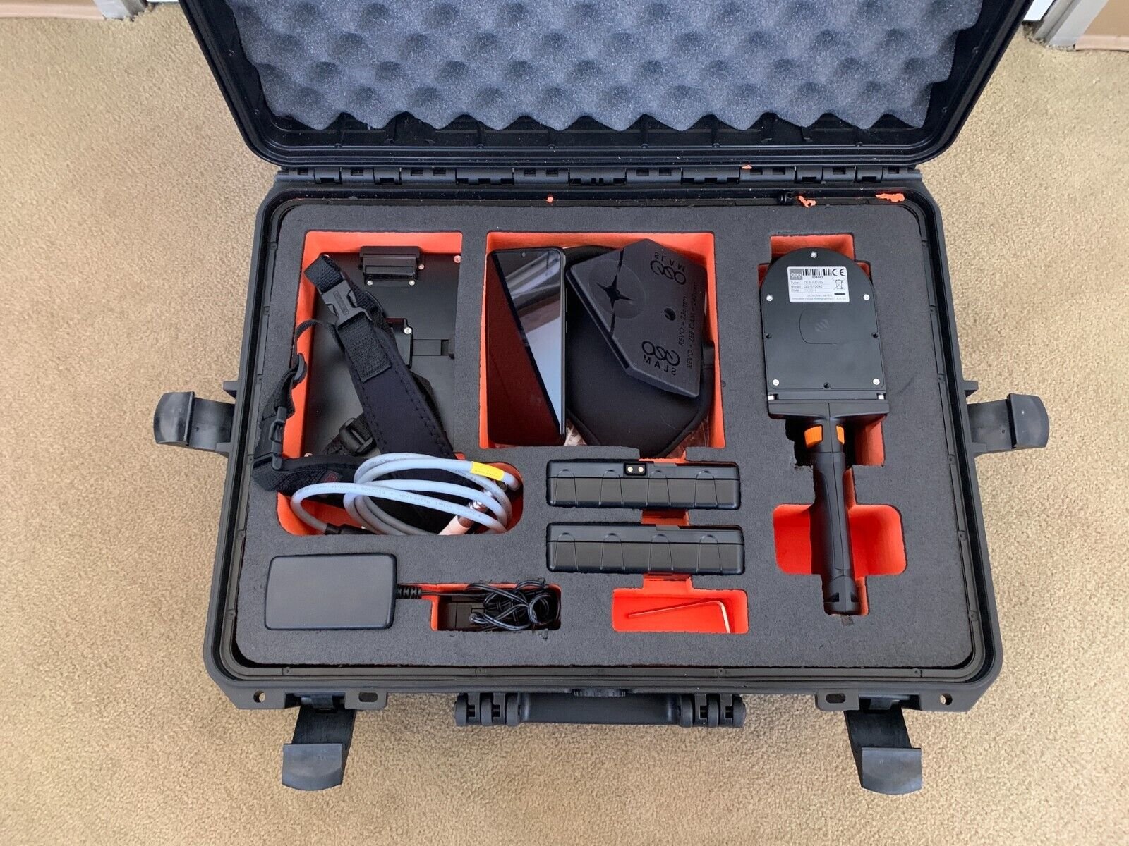
Product details
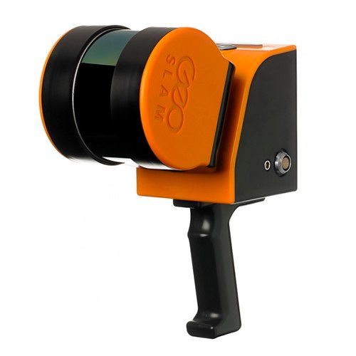
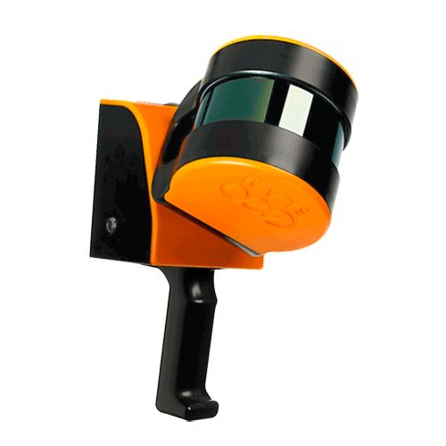
GeoSLAM ZEB REVO RT Handheld Laser Scanner: Real-Time 3D Mapping Made Simple
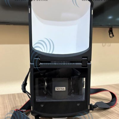
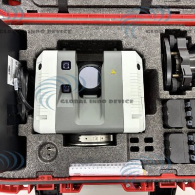
The GeoSLAM ZEB REVO RT Handheld Laser Scanner is a cutting-edge mobile mapping solution designed for fast, accurate, and real-time 3D data capture. Built with advanced SLAM (Simultaneous Localization and Mapping) technology, this handheld scanner allows users to map complex environments without the need for GPS, making it ideal for indoor and underground applications.
What is SLAM Technology?
Understanding Simultaneous Localization and Mapping
SLAM is a computational method that enables a device to build a map of an unknown environment while simultaneously tracking its own position within that space. This allows for continuous and accurate mapping in real time.
Benefits of SLAM in Laser Scanning
- No reliance on GPS signals
- Real-time data visualization
- Faster data collection compared to traditional methods
- Improved efficiency in complex environments
Key Features of GeoSLAM ZEB REVO RT
Real-Time Data Processing
The ZEB REVO RT provides immediate visualization of scanned data, allowing users to verify coverage and accuracy during the scanning process.
Lightweight and Handheld Design
Its compact and ergonomic design makes it easy to carry and operate, enabling extended use without fatigue.
High-Speed Data Capture
The scanner rapidly collects millions of data points, ensuring comprehensive coverage in a short amount of time.
Versatile Deployment
Suitable for a wide range of environments, including indoor spaces, tunnels, construction sites, and heritage buildings.
Easy-to-Use Workflow
The intuitive system simplifies the scanning process, reducing the learning curve and improving productivity.
Technical Specifications
Scanning Performance
- 3D LiDAR-based scanning system
- Real-time point cloud generation
- High data capture rate
Accuracy and Range
- Centimeter-level accuracy (depending on environment)
- Effective range suitable for indoor and medium-scale mapping
Data Processing
- Integrated real-time processing
- Compatible with post-processing software
- Export in common 3D formats
Connectivity and Power
- Wireless data transfer options
- Rechargeable battery system
- Extended operational time
Applications of GeoSLAM ZEB REVO RT
Construction and BIM
Used for capturing accurate site data to support Building Information Modeling (BIM) workflows and project planning.
Mining and Underground Mapping
Ideal for mapping tunnels and underground structures where GPS signals are unavailable.
Architecture and Heritage Documentation
Helps document historical structures and buildings with precise 3D models.
Public Safety and Emergency Response
Supports rapid mapping of disaster zones and hazardous environments for better decision-making.
Benefits of Using GeoSLAM ZEB REVO RT
Faster Data Collection
Significantly reduces the time required for surveying and mapping compared to traditional methods.
Real-Time Validation
Users can immediately verify scan completeness, minimizing the need for repeat visits.
Improved Accuracy
Advanced SLAM algorithms ensure reliable and consistent mapping results.
Increased Mobility
Handheld design allows scanning in tight, complex, or hard-to-reach areas.
Why Choose GeoSLAM ZEB REVO RT
The ZEB REVO RT stands out due to its real-time capabilities, portability, and ease of use. Backed by the innovation of GeoSLAM, it provides a powerful solution for professionals who require efficient and accurate 3D mapping in challenging environments.
There are no reviews yet.