
Product details
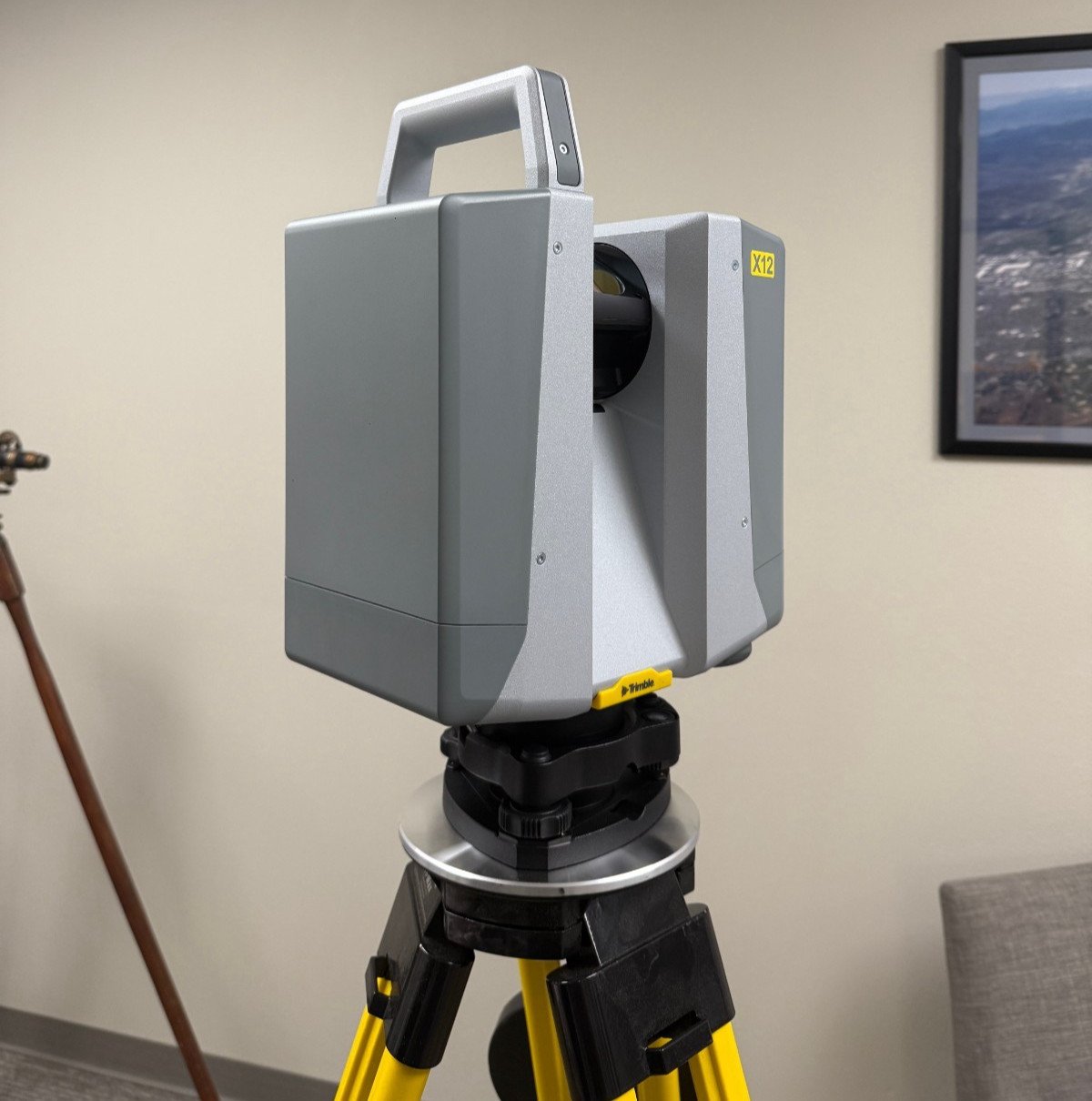
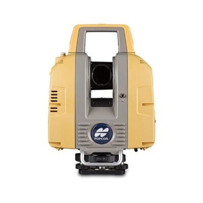
Trimble X12 3D Laser Scanner: Advanced Reality Capture for Precision Surveying
The Trimble X12 3D Laser Scanner is a high-performance reality capture solution designed for professionals who demand speed, accuracy, and reliability in complex environments. Developed by Trimble Inc., this scanner combines advanced hardware, intuitive workflows, and powerful software integration to streamline data collection and processing.
Key Features of the Trimble X12
High-Speed Data Acquisition
The Trimble X12 delivers rapid scanning capabilities, enabling users to capture dense point clouds in a fraction of the time compared to traditional systems. This efficiency is critical for projects with tight deadlines.
Exceptional Accuracy and Range
With millimeter-level precision and extended scanning range, the device ensures reliable measurements for both indoor and outdoor applications. It performs consistently even in challenging conditions.
Automatic Calibration System
The built-in self-calibration feature eliminates the need for manual adjustments, ensuring optimal performance and reducing downtime during field operations.
Integrated Imaging Technology
The scanner includes high-resolution imaging capabilities, allowing users to capture detailed visual data alongside spatial measurements for enhanced documentation.
Rugged and Field-Ready Design
Engineered for durability, the Trimble X12 operates effectively in harsh environments, including dust, moisture, and extreme temperatures.
Technical Specifications
Scanning Performance
Scan Range: Up to several hundred meters
Scan Speed: High-speed acquisition for dense point clouds
Accuracy: Survey-grade precision
Imaging System
Integrated HDR cameras
High-resolution panoramic imaging
Connectivity
Wireless data transfer
USB and cloud integration
Power and Portability
Long-lasting battery system
Lightweight and ergonomic design
Applications of the Trimble X12
Construction and BIM
The scanner is widely used in Building Information Modeling (BIM) workflows, enabling accurate as-built documentation and clash detection.
Surveying and Geospatial Mapping
Surveyors benefit from precise topographic mapping and efficient data collection for land development projects.
Industrial and Plant Engineering
The device supports detailed scanning of industrial facilities, improving maintenance planning and asset management.
Forensics and Public Safety
Rapid scene documentation makes the Trimble X12 valuable for forensic investigations and accident reconstruction.
Software Integration and Workflow
Seamless Integration with Trimble Ecosystem
The Trimble X12 integrates with software such as Trimble Perspective and Trimble RealWorks, enabling smooth data processing and visualization.
Automated Registration
Users can perform real-time scan alignment in the field, reducing post-processing time and improving project efficiency.
Cloud Collaboration
Captured data can be easily shared across teams via cloud platforms, enhancing collaboration and decision-making.
Advantages of Using the Trimble X12
Increased Productivity
Fast scanning and automated workflows significantly reduce project timelines.
User-Friendly Operation
The intuitive interface allows both beginners and experienced professionals to operate the system efficiently.
Reliable Data Quality
Consistent accuracy ensures dependable results for critical applications.
Comparison with Traditional Laser Scanners
Efficiency Gains
Compared to older systems, the Trimble X12 offers faster setup, scanning, and processing times.
Reduced Human Error
Automation minimizes manual intervention, lowering the risk of mistakes during data capture.
Enhanced Visualization
Integrated imaging provides richer datasets compared to point-only scanners.
Best Practices for Optimal Performance
Proper Setup and Positioning
Ensure stable tripod placement and optimal scanner positioning for maximum coverage.
Regular Maintenance
Keep lenses clean and perform routine checks to maintain performance.
Data Management
Organize and back up data regularly to prevent loss and streamline workflows.
APPLICATION
Training facilitiesYes
Main usersSurveyors, engineers, architects, project managers, service providers
Distinguishable featuresAutomatic in-field registration; Accurate high-speed data capture; Fast, clear HDR imaging with integrated LED spot lights for dark environments; simple onboard UI for standalone operation; 2 year standard warranty
Main applicationsTopographic/General Surveys, Civil Infrastructure, Industrial Survey, Forensics, Cultural Heritage, Digital Twins, Tank Calibration & Inspection, Mining, builidng Surveys.
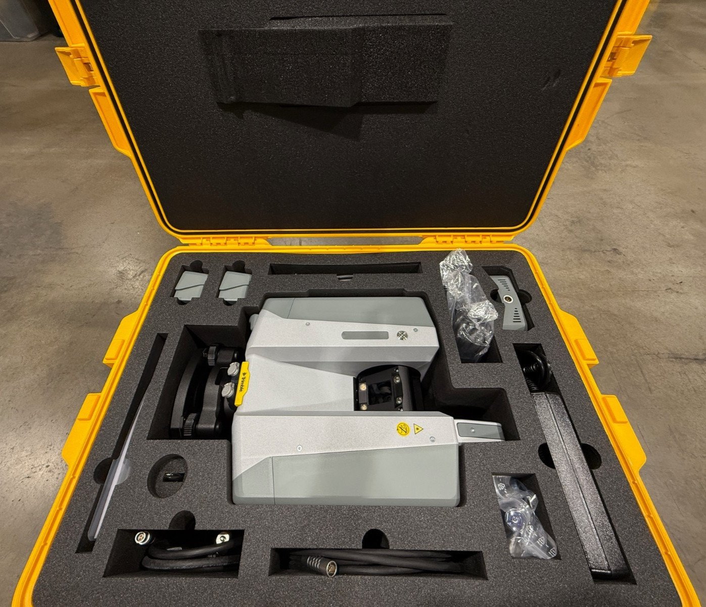
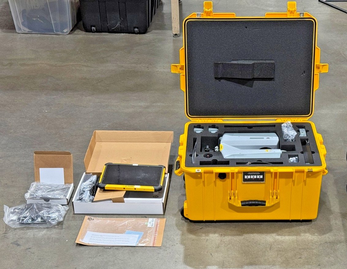
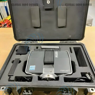
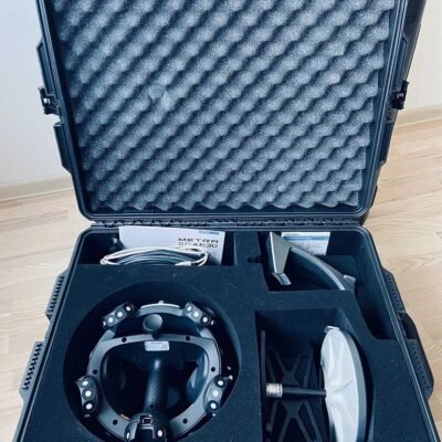
INCLUDED :
Trimble X12 3D Laser Scanner
Trimble T10x Tablet
Transportation Case
Power Supply for Scanner and Charger
Carrying Cases
Battery Charger
Car Adapter Charging Cable
Four (4) X12 Batteries
Two (2) Ethernet Cables (0.5m and 5m)
Extension Cable
Power Cable with International Adapters
128 GB SD Card
USB Drive Containing User Guide
Trimble Perspective Software
Tripod
There are no reviews yet.