

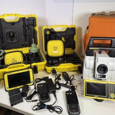
Product details
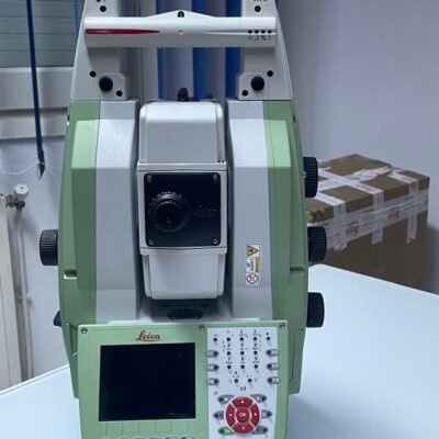
Leica Nova MS60 MultiStation Robotic Total Station: All-in-One Surveying and Scanning Solution
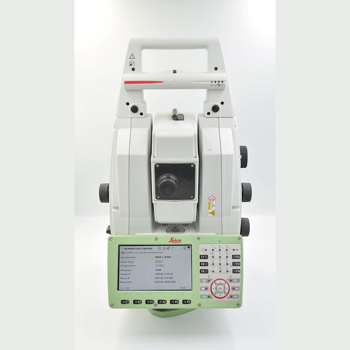
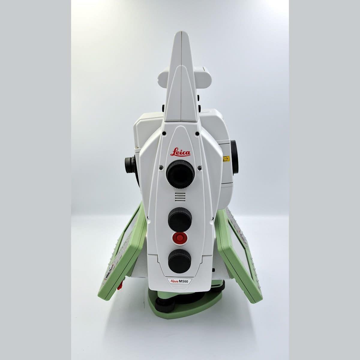
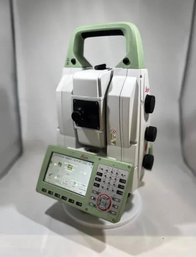
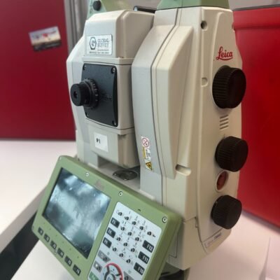
The Leica Geosystems Nova MS60 MultiStation Robotic Total Station is a revolutionary instrument that combines total station functionality, 3D laser scanning, and imaging capabilities into a single platform. Designed for modern surveying professionals, this MultiStation enables seamless data capture, improving efficiency and accuracy across a wide range of applications.
What Makes the Leica Nova MS60 Unique?
Integration of Multiple Technologies
The MS60 integrates traditional total station measurements with advanced laser scanning and digital imaging. This eliminates the need for multiple devices, simplifying workflows and reducing equipment costs.
Robotic Operation
With robotic functionality, the instrument can be operated remotely by a single user, enhancing productivity and reducing manpower requirements.
High-Precision Measurements
The system delivers exceptional accuracy for both point measurements and 3D scans, ensuring reliable results for critical projects.
Key Features of Leica Nova MS60
Advanced 3D Laser Scanning
The MS60 captures dense point clouds with high speed and precision, making it suitable for detailed mapping and modeling tasks.
Automated Target Tracking
Equipped with intelligent tracking technology, the instrument automatically follows prisms or targets, ensuring consistent measurement accuracy.
Integrated Imaging System
High-resolution cameras provide visual documentation, allowing users to capture images alongside measurement data for better analysis and reporting.
Flexible Measurement Modes
Users can switch between total station, scanning, and imaging modes depending on project requirements.
Rugged and Field-Ready Design
Built to withstand harsh environments, the MS60 offers durability against dust, moisture, and temperature variations.
Technical Specifications
Measurement Performance
- High-precision angle and distance measurement
- Long-range reflectorless measurement capability
- Robotic automation for efficient operation
Scanning Capabilities
- High-speed laser scanning
- Dense and accurate point cloud generation
- Real-time data visualization
Imaging System
- Integrated high-resolution camera
- Image-assisted measurement
- Visual documentation features
Data Management
- Onboard data storage
- Wireless connectivity options
- Compatibility with surveying software
Power and Operation
- Rechargeable battery system
- Long operating time
- User-friendly interface
Applications of Leica Nova MS60
Land Surveying
Ideal for topographic surveys, boundary mapping, and construction layout tasks.
Construction and BIM
Supports Building Information Modeling (BIM) by providing accurate spatial data for planning and execution.
Infrastructure and Civil Engineering
Used for monitoring bridges, roads, and tunnels, ensuring structural integrity and safety.
Mining and Industrial Projects
Enables precise mapping and monitoring of large-scale industrial environments.
Benefits of Using Leica Nova MS60
Increased Efficiency
Combining multiple tools into one device reduces setup time and improves workflow productivity.
Enhanced Accuracy
Advanced measurement and scanning technologies ensure precise and reliable data.
Cost Savings
Eliminates the need for multiple instruments, reducing equipment and maintenance costs.
Versatile Functionality
Adapts to various surveying and mapping tasks, making it a flexible solution for professionals.
Why Choose Leica Nova MS60 MultiStation
The MS60 stands out as a comprehensive solution for modern surveying challenges. Backed by the innovation of Leica Geosystems, it offers unmatched versatility, precision, and efficiency in a single instrument.
There are no reviews yet.