
Product details
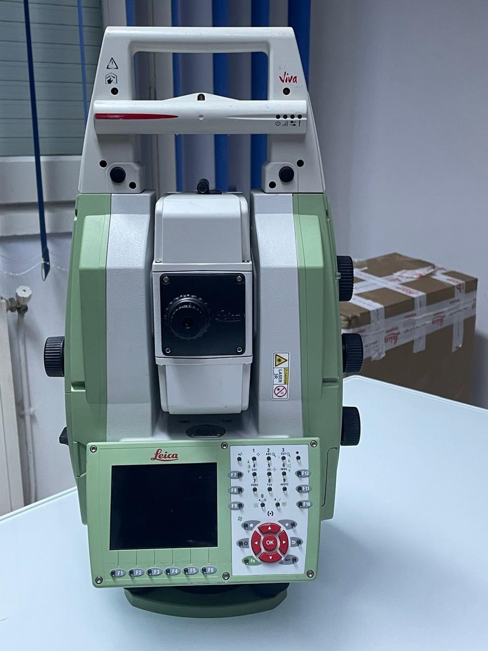
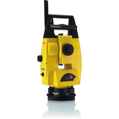
Leica Nova MS50: The Ultimate MultiStation for Surveying and Scanning
The Leica Nova MS50 is a revolutionary MultiStation developed by Leica Geosystems. It combines the capabilities of a high-precision total station with advanced 3D laser scanning, delivering a versatile solution for surveying, construction, and engineering professionals. This hybrid instrument is designed to simplify workflows while maintaining exceptional accuracy.
What is a MultiStation?
A MultiStation is an innovative surveying instrument that integrates multiple measurement technologies into a single device. The Leica Nova MS50 merges total station functionality with laser scanning, enabling users to capture both precise points and dense 3D data without switching equipment.
Key Features of Leica Nova MS50
High-Precision Total Station Capabilities
The MS50 delivers outstanding angular and distance measurement accuracy, ensuring reliable results for complex surveying tasks.
Integrated 3D Laser Scanning
Equipped with laser scanning functionality, the device captures dense point clouds, making it ideal for documentation and modeling applications.
Dynamic Lock and ATR Technology
Automatic Target Recognition (ATR) and dynamic tracking allow the instrument to lock onto prisms and follow moving targets, improving efficiency in the field.
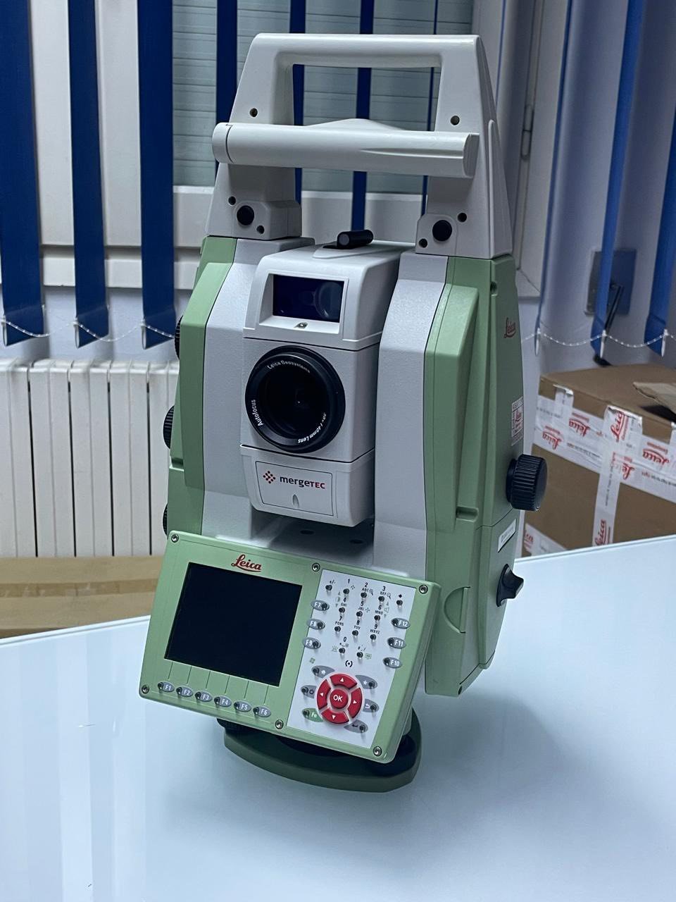
Advanced Imaging System
The integrated camera system provides real-time visual documentation, enhancing measurement verification and reporting.
Seamless Software Integration
The MS50 works with Leica software platforms, enabling efficient data processing, visualization, and sharing between field and office.
Benefits for Professionals
Increased Productivity
Combining multiple tools into one device reduces setup time and eliminates the need for multiple instruments.
Enhanced Data Accuracy
Accurate measurements and high-density scans ensure reliable data for engineering and construction projects.
Flexible Applications
The MS50 adapts to a wide range of tasks, from precise layout to detailed 3D documentation.
Applications of Leica Nova MS50
Land Surveying
Ideal for topographic surveys, boundary mapping, and geospatial data collection.
Construction and Engineering
Supports layout, as-built verification, and structural monitoring.
Infrastructure Projects
Used in roads, bridges, and large-scale developments requiring both precision and 3D data.
Building Information Modeling (BIM)
Provides accurate data capture for BIM workflows and digital twin creation.
Why Choose Leica Nova MS50?
All-in-One Solution
Combines total station, laser scanner, and imaging system in one compact device.
Trusted Leica Quality
Leica Geosystems is known for precision engineering and reliable performance worldwide.
Future-Ready Technology
Supports evolving digital workflows, including BIM and 3D modeling.
General Overview
- Manufacturer: Leica Geosystems
- Product Type: MultiStation (Total Station + 3D Laser Scanner + Imaging System)
- Technology: Combination of surveying, scanning, and imaging in one device
- Application: Surveying, construction, BIM, infrastructure, and monitoring
Angular Measurement
- Accuracy: 1″ (0.3 mgon)
- Measurement Method: Absolute, continuous, quadruple-axis
- Compensator: Automatic dual-axis compensation
- Display Resolution: 0.1″
Distance Measurement (EDM)
Prism Measurement
- Range: 1.5 m to >10,000 m
- Accuracy: ±(1 mm + 1.5 ppm)
- Measurement Time: ~1.5 sec
Reflectorless Measurement
- Range: 1.5 m to 2,000 m
- Accuracy: ±(2 mm + 2 ppm)
- Technology: Wave Form Digitizing (WFD) with visible red laser
Laser Characteristics
- Laser Type: Coaxial visible red laser
- Laser Spot Size: 8 × 20 mm at 50 m
3D Laser Scanning
- Scan Speed: Up to 1,000 points per second
- Maximum Scan Range: Up to 1,000 m
- Scan Accuracy (Noise):
- 300 m: 1.0 mm @ 50 m
- 400 m: 0.8 mm @ 50 m
- 500 m: 0.6 mm @ 50 m
- 1000 m: 0.6 mm @ 50 m
- Scan Modes: 1000 Hz / 250 Hz / 62 Hz / 1 Hz
- Output: True color 3D point clouds
- Onboard Processing:
- 3D point cloud viewer
- Surface modeling
- Registration tools
Imaging System
Overview Camera
- Sensor: 5 MP CMOS
- Field of View: 19.4°
- Frame Rate: Up to 20 fps
Telescope Camera
- Field of View: 1.5°
- Magnification: 30×
- Autofocus: Yes
- Function: Precision targeting & documentation
Automatic Targeting & Tracking
ATR (Automatic Target Recognition)
- Range:
- Prism: up to 1000 m
- Lock mode: up to 800 m
- Accuracy: 1″
- Measurement Time: ~2.5 sec
PowerSearch Technology
- Range: 300 m
- Search Time: ~5 sec
Guide Light (EGL)
- Range: 5 – 150 m
- Accuracy: ±5 cm @ 100 m
Telescope & Optics
- Magnification: 30×
- Focus Range: 1.7 m to infinity
- Autofocus: Yes
- Reticle: Illuminated
Motorization & Movement
- Drive System: Direct drives (Piezo technology)
- Rotation Speed: Up to 200 gon/sec (≈180°/sec)
- Face Change Time: ~2.9 sec
Display & Interface
- Display:
- Color VGA touchscreen
- Dual-sided operation
- Keyboard:
- 36 keys with illumination
- Controls:
- Endless drives
- Autofocus keys
- Custom SmartKey
Data & Connectivity
- Internal Memory: 1 GB
- External Storage: SD card (1–8 GB)
- Interfaces:
- USB
- RS232
- Bluetooth
- WLAN
- Software Compatibility:
- Leica Captivate
- Leica Infinity
- AutoCAD integrations
Power Supply
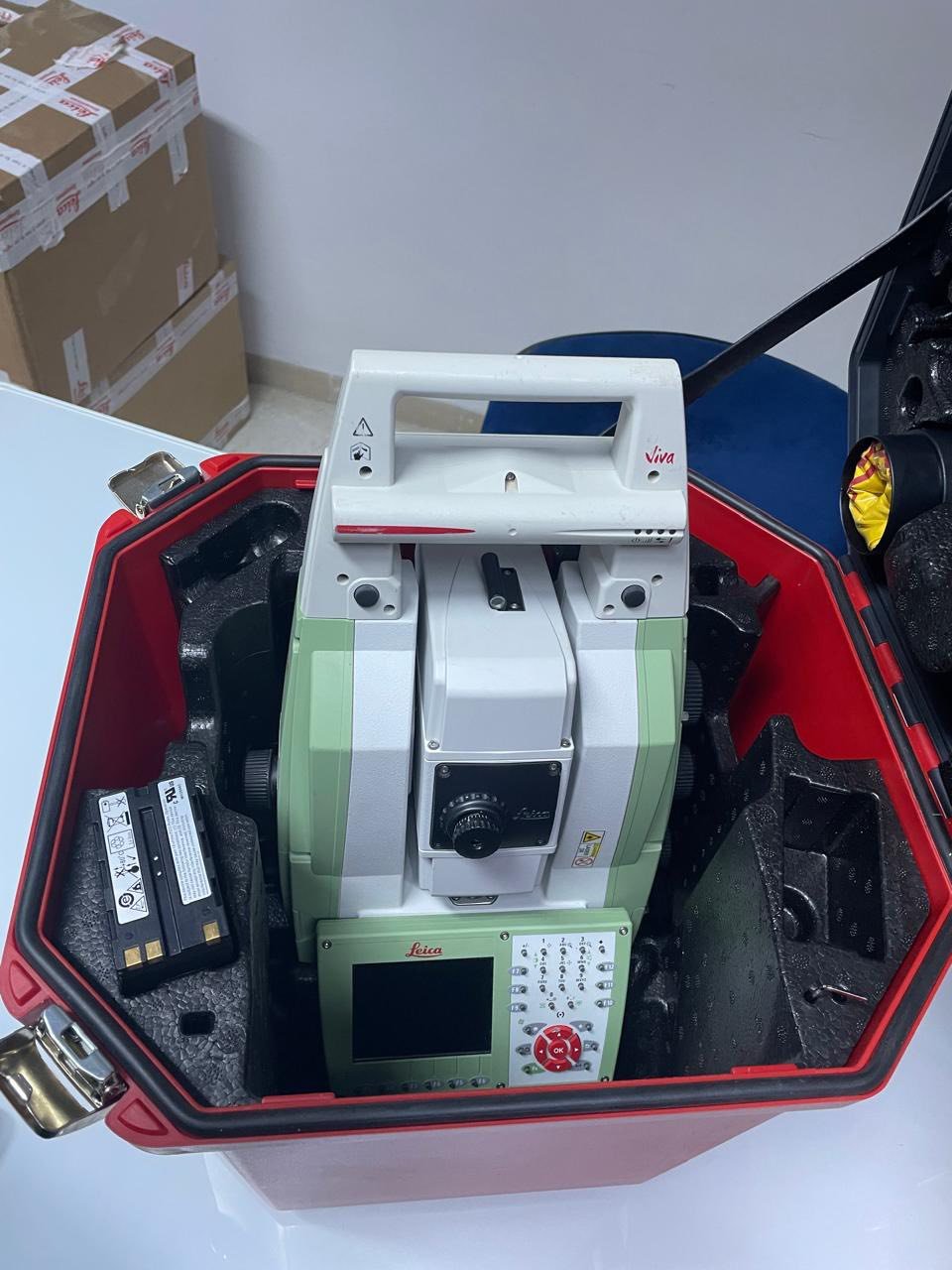
- Battery Type: Lithium-Ion (removable)
- Operating Time: 7–9 hours
- Charging: Internal / external charger
Environmental & Durability
- Protection Rating: IP65
- Weather Resistance: MIL-STD blowing rain compliant
- Operating Temperature: -20°C to +50°C
- Humidity: Up to 95% non-condensing
Physical Specifications
- Weight: Approx. 7.6 kg (including battery)
- Build: Rugged industrial-grade design
Key Technologies
- WFD (Wave Form Digitizing) EDM
- ATR (Automatic Target Recognition)
- PowerSearch prism detection
- Integrated 3D laser scanning
- Real-time imaging & documentation
- Onboard point cloud processing
There are no reviews yet.