
Product details
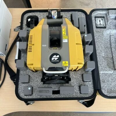
Topcon GLS-2000L Survey Scanner – High-Precision Long-Range 3D Laser Scanning Solution
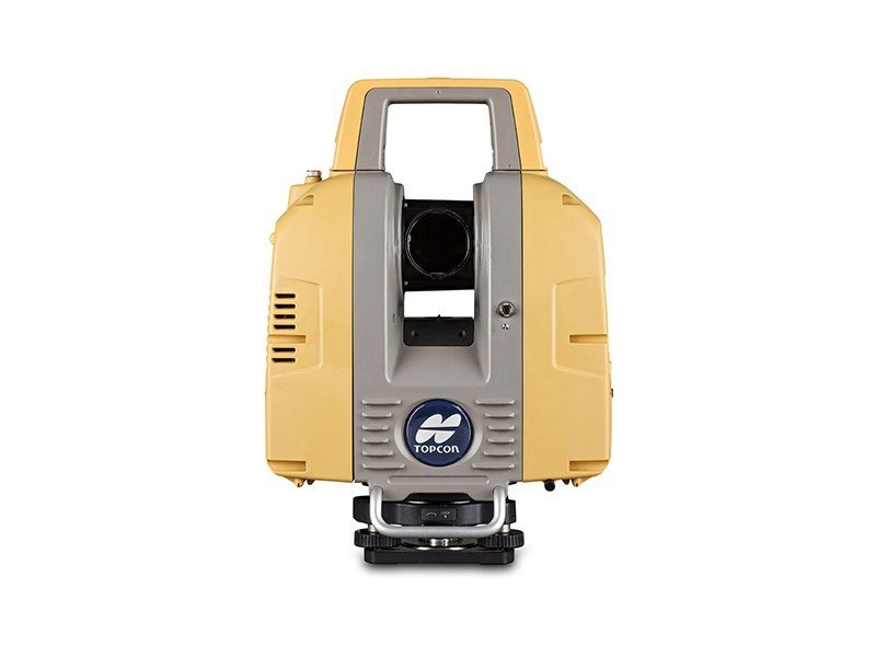
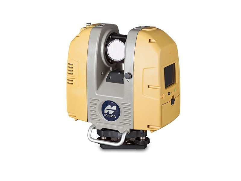
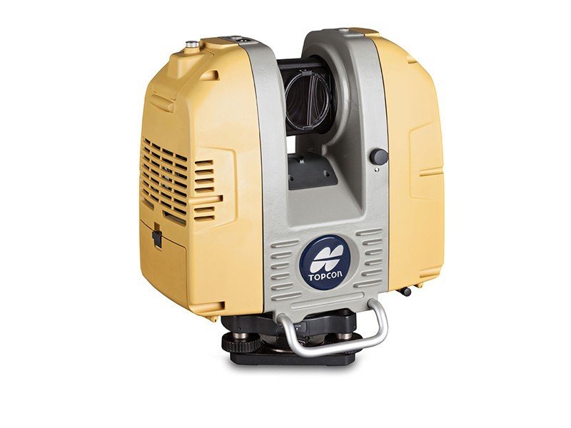
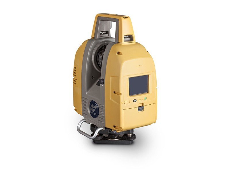
The Topcon GLS-2000L Survey Scanner is a professional terrestrial laser scanning system designed for high-accuracy 3D reality capture, topographic surveying, infrastructure inspection, industrial measurement, BIM documentation, and engineering analysis applications. Equipped with advanced pulse laser technology, high-speed point cloud acquisition, and integrated imaging systems, the GLS-2000L delivers precise and reliable scanning performance for demanding surveying and construction environments.
Manufactured by Topcon Positioning Systems, the GLS-2000L combines long-range measurement capability, automated onboard registration, advanced positioning technology, and rugged field durability into a compact and efficient scanning platform optimized for professional geospatial workflows.
Key Features of Topcon GLS-2000L Survey Scanner
Long-Range Laser Scanning Technology
The GLS-2000L supports extended-range scanning for large-scale infrastructure and terrain projects.
Long-Range Advantages
- Efficient large-area coverage
- Reduced scanner repositioning
- Faster project execution
- Improved field productivity
High-Accuracy Point Cloud Generation
The advanced scanning engine captures dense and accurate point cloud datasets.
Accuracy Benefits
- Precise surface modeling
- Reliable structural measurements
- Detailed engineering documentation
- Accurate 3D visualization
Integrated Dual Camera System
The scanner includes integrated imaging technology for realistic colorized point clouds.
Imaging Features
- High-resolution image capture
- Realistic scan colorization
- Enhanced visual documentation
- Improved project presentation
Automated Onboard Registration
Supports efficient field registration and real-time scan alignment.
Workflow Advantages
- Reduced post-processing time
- Faster project validation
- Improved scan accuracy
- Efficient field operation
High-Speed Data Acquisition
The scanning system rapidly captures large datasets for improved efficiency.
Speed Benefits
- Fast point cloud collection
- Reduced field time
- Efficient workflow management
- Increased operational productivity
Rugged Environmental Durability
Built for demanding industrial and outdoor field conditions.
Durability Features
- Weather-resistant housing
- Dustproof protection
- Shock-resistant construction
- Reliable outdoor performance
Applications of Topcon GLS-2000L Survey Scanner
Topographic and Geospatial Surveying
Provides accurate terrain measurement and geospatial data collection.
Surveying Applications
- Topographic mapping
- Corridor surveys
- Terrain modeling
- Geodetic measurement
BIM and Construction Documentation
Supports advanced BIM workflows and construction verification.
BIM Applications
- As-built documentation
- BIM model generation
- Construction progress monitoring
- Digital twin development
Infrastructure Inspection
Captures detailed infrastructure datasets for engineering analysis.
Infrastructure Applications
- Bridge inspection
- Tunnel documentation
- Roadway scanning
- Structural monitoring
Industrial Facility Scanning
Ideal for industrial plant documentation and modernization projects.
Industrial Uses
- Factory measurement
- Equipment positioning
- Piping documentation
- Facility management
Mining and Quarry Surveys
Supports large-area mining measurement and terrain analysis.
Mining Applications
- Quarry documentation
- Volume calculations
- Slope analysis
- Stockpile measurement
Technical Specifications
General Specifications
| Specification | Details |
|---|---|
| Product Name | Topcon GLS-2000L Survey Scanner |
| Instrument Type | Terrestrial Laser Scanner |
| Manufacturer | Topcon Positioning Systems |
| Scanning Technology | Pulse Laser Scanning |
| Intended Applications | Surveying, BIM, Infrastructure |
| Data Output | High-Density 3D Point Clouds |
Scanning Specifications
| Parameter | Specification |
|---|---|
| Maximum Measurement Range | Up to 500 m |
| Minimum Measurement Range | Approx. 1.5 m |
| Measurement Speed | Up to 120,000 points/sec |
| Range Accuracy | Up to 3.5 mm |
| Horizontal Field of View | 360° |
| Vertical Field of View | 270° |
Laser Specifications
| Parameter | Specification |
|---|---|
| Laser Class | Class 1 |
| Measurement Principle | Pulse Time-of-Flight |
| Reflectorless Measurement | Supported |
| Eye Safety Certification | IEC Certified |
| Laser Wavelength | Near Infrared |
Point Cloud Specifications
| Parameter | Specification |
|---|---|
| Point Density | Adjustable |
| Scan Resolution | Configurable |
| Real-Time Visualization | Supported |
| Automatic Registration | Supported |
| Point Cloud Colorization | Supported |
Imaging Specifications
| Parameter | Specification |
|---|---|
| Integrated Cameras | Dual Camera System |
| Image Capture | High Resolution |
| HDR Imaging | Supported |
| Colorized Point Clouds | Supported |
| Visual Documentation | Supported |
Positioning and Sensor Specifications
| Parameter | Specification |
|---|---|
| GNSS Support | Integrated |
| Electronic Compass | Supported |
| Tilt Compensation | Supported |
| IMU Integration | Supported |
| Advanced Positioning Sensors | Supported |
Connectivity and Communication
| Parameter | Specification |
|---|---|
| Wi-Fi Connectivity | Supported |
| USB Interface | Supported |
| Ethernet Connectivity | Supported |
| Remote Scanner Operation | Supported |
| Wireless Data Transfer | Supported |
Software Compatibility
| Parameter | Specification |
|---|---|
| Topcon MAGNET Collage Compatibility | Supported |
| Autodesk ReCap Compatibility | Supported |
| BIM Workflow Integration | Supported |
| CAD Software Compatibility | Supported |
| Point Cloud Export Formats | Industry Standard Formats |
Environmental Specifications
| Parameter | Specification |
|---|---|
| Operating Temperature | -5°C to +45°C |
| Storage Temperature | -20°C to +60°C |
| Protection Rating | IP54 |
| Dust Resistance | Supported |
| Weather Resistance | Supported |
Power Specifications
| Parameter | Specification |
|---|---|
| Battery Type | Rechargeable Li-Ion |
| Operating Time | Up to 4 Hours |
| External Power Support | Supported |
| Hot Swap Battery | Supported |
| Charging Time | Approx. 3 Hours |
Physical Specifications
| Parameter | Specification |
|---|---|
| Weight | Approx. 9.8 kg |
| Scanner Design | Industrial Portable Design |
| Housing Material | Reinforced Industrial Housing |
| Mounting System | Standard Tripod Mount |
Advantages of Topcon GLS-2000L Survey Scanner
Efficient Long-Range Reality Capture
The advanced laser system supports efficient scanning of large environments.
Productivity Benefits
- Faster field coverage
- Reduced setup positions
- Improved operational efficiency
- Reliable large-scale documentation
Highly Accurate Engineering Measurements
Designed for professional geospatial and engineering applications.
Accuracy Advantages
- Precise point cloud generation
- Reliable structural analysis
- Accurate terrain modeling
- Detailed infrastructure documentation
Advanced Workflow Integration
Supports seamless integration with BIM, CAD, and engineering platforms.
Workflow Features
- Automated registration
- Faster data processing
- BIM-ready datasets
- Efficient digital workflows
Rugged Industrial Reliability
Built for demanding outdoor and industrial environments.
Durability Benefits
- Weather-resistant performance
- Dustproof protection
- Long operational lifespan
- Reliable field durability
Industries That Use Topcon GLS-2000L Survey Scanner
Surveying and Geospatial Industry
- Topographic mapping
- Corridor surveys
- Terrain analysis
Construction and BIM Industry
- As-built documentation
- BIM modeling
- Construction verification
Industrial Engineering
- Facility documentation
- Plant modernization
- Equipment positioning
Infrastructure and Mining
- Bridge inspection
- Quarry analysis
- Roadway documentation
There are no reviews yet.