

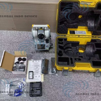
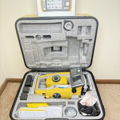
Product details
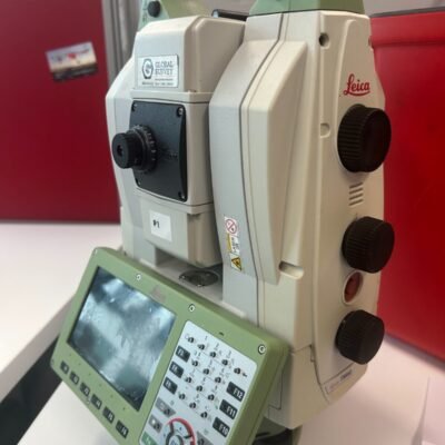
Leica TS11 Survey Total Station: Reliable Precision for Everyday Surveying
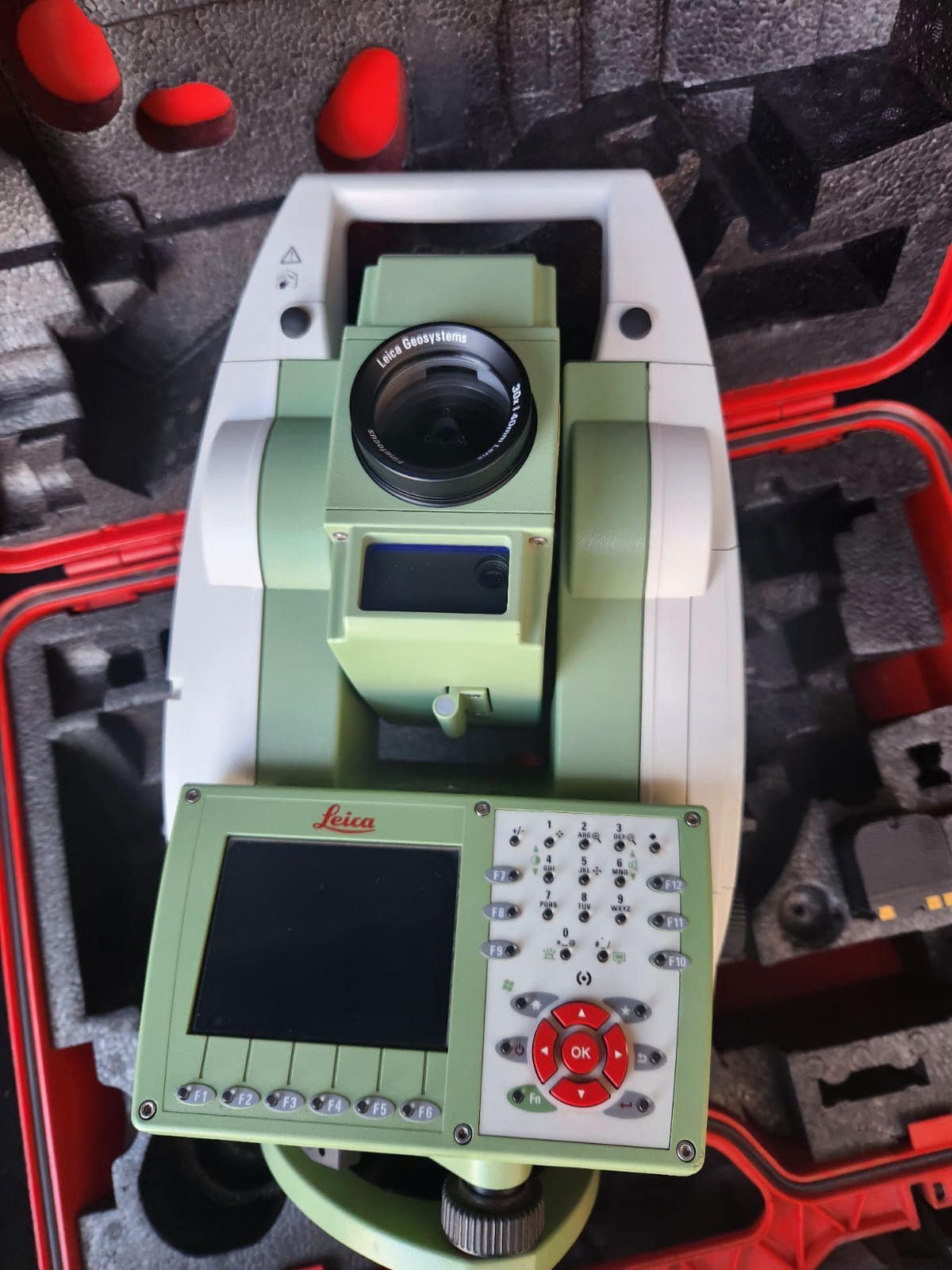
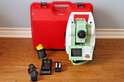
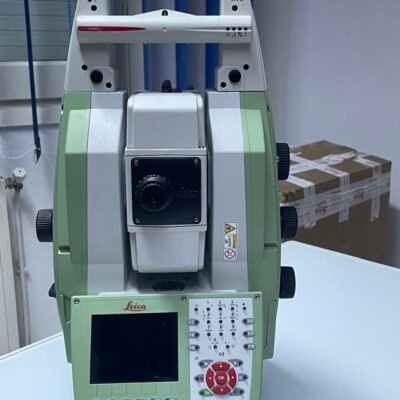
The Leica TS11 Survey Total Station is a robust and user-friendly instrument developed by Leica Geosystems. Designed for professionals who require dependable accuracy and efficiency, the TS11 provides a practical solution for a wide range of surveying and construction applications.
Key Features of Leica TS11
High-Accuracy Measurement
The TS11 delivers reliable angular and distance measurements, ensuring consistent results in field operations.
PinPoint EDM Technology
Leica’s PinPoint EDM allows accurate long-range measurements, including reflectorless capabilities for hard-to-reach targets.
Intuitive User Interface
Equipped with a simple and efficient interface, the TS11 enables fast learning and easy operation for both beginners and experienced surveyors.
Rugged Field Design
Built to withstand tough environments, the TS11 ensures durability and long-term reliability in outdoor conditions.
Benefits for Surveyors
Efficient Field Workflow
Quick setup and easy data collection help reduce project time.
Reliable Data Accuracy
Consistent measurement performance minimizes errors and rework.
Cost-Effective Solution
Provides Leica precision at a competitive level for everyday surveying tasks.
Applications of Leica TS11
Land Surveying
Ideal for boundary surveys, topographic mapping, and site measurements.
Construction Layout
Supports accurate stakeout and alignment tasks.
Infrastructure Projects
Used in road construction, utilities mapping, and engineering works.
As-Built Documentation
Captures precise measurements for project verification.
Specifications of Leica TS11 Survey Total Station;
General Information
- Manufacturer: Leica Geosystems
- Product Type: Manual Total Station
- Available Accuracy Options: 1″ / 2″ / 3″ / 5″
Angular Measurement
- Measurement Method: Absolute, continuous
- Accuracy:
- 1″ / 2″ / 3″ / 5″ (model dependent)
- Display Resolution: 0.1″
- Compensator: Dual-axis
- Compensator Range: ±4′
Distance Measurement (EDM)
Prism Measurement
- Range: Up to 10,000 m
- Accuracy: ±(1 mm + 1.5 ppm)
- Measurement Time: ~1.5 sec
Reflectorless Measurement
- Range: Up to 500 m (R500) / optional higher range
- Accuracy: ±(2 mm + 2 ppm)
- Measurement Time: ~2–3 sec
Reflective Tape
- Range: Up to 250 m
- Accuracy: ±(2 mm + 2 ppm)
Telescope & Optics
- Magnification: 30×
- Field of View: 1°30′ (2.7 m at 100 m)
- Minimum Focus Distance: 1.7 m
- Reticle: Illuminated
Laser & EDM
- Laser Type: Coaxial visible laser
- Technology: PinPoint EDM
- Laser Spot Size: Optimized for precise targeting
Display & User Interface
- Display:
- High-resolution graphical display
- Optional dual display
- Keyboard:
- Alphanumeric keypad
- Interface: Leica FlexField software
Data & Connectivity
- Internal Memory: Up to 50,000 points
- External Storage: USB / SD card
- Interfaces:
- USB
- RS232
- Bluetooth (optional)
Software Compatibility
- Leica FlexField (onboard)
- Leica Geo Office / Leica Infinity
- Export formats compatible with CAD/GIS
Power Supply
- Battery Type: Lithium-Ion
- Operating Time: Up to 20 hours
- Charging: External charger
Environmental & Durability
- Protection Rating: IP55 / IP65 (model dependent)
- Operating Temperature: -20°C to +50°C
- Humidity: Up to 95% non-condensing
Physical Specifications
- Weight: Approx. 5.1 kg
- Build: Rugged, field-ready design
Key Technologies
- PinPoint EDM
- Dual-axis compensation
- Reflectorless measurement
- Flexible data storage
- Leica FlexField interface
Why Choose Leica TS11?
Proven Leica Quality
Reliable engineering and precision trusted worldwide.
Easy-to-Use System
Ideal for both new users and experienced surveyors.
Versatile Applications
Suitable for a wide range of surveying and construction tasks.
There are no reviews yet.