
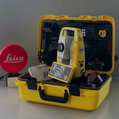
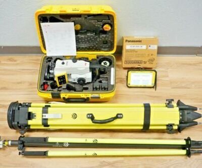
Product details
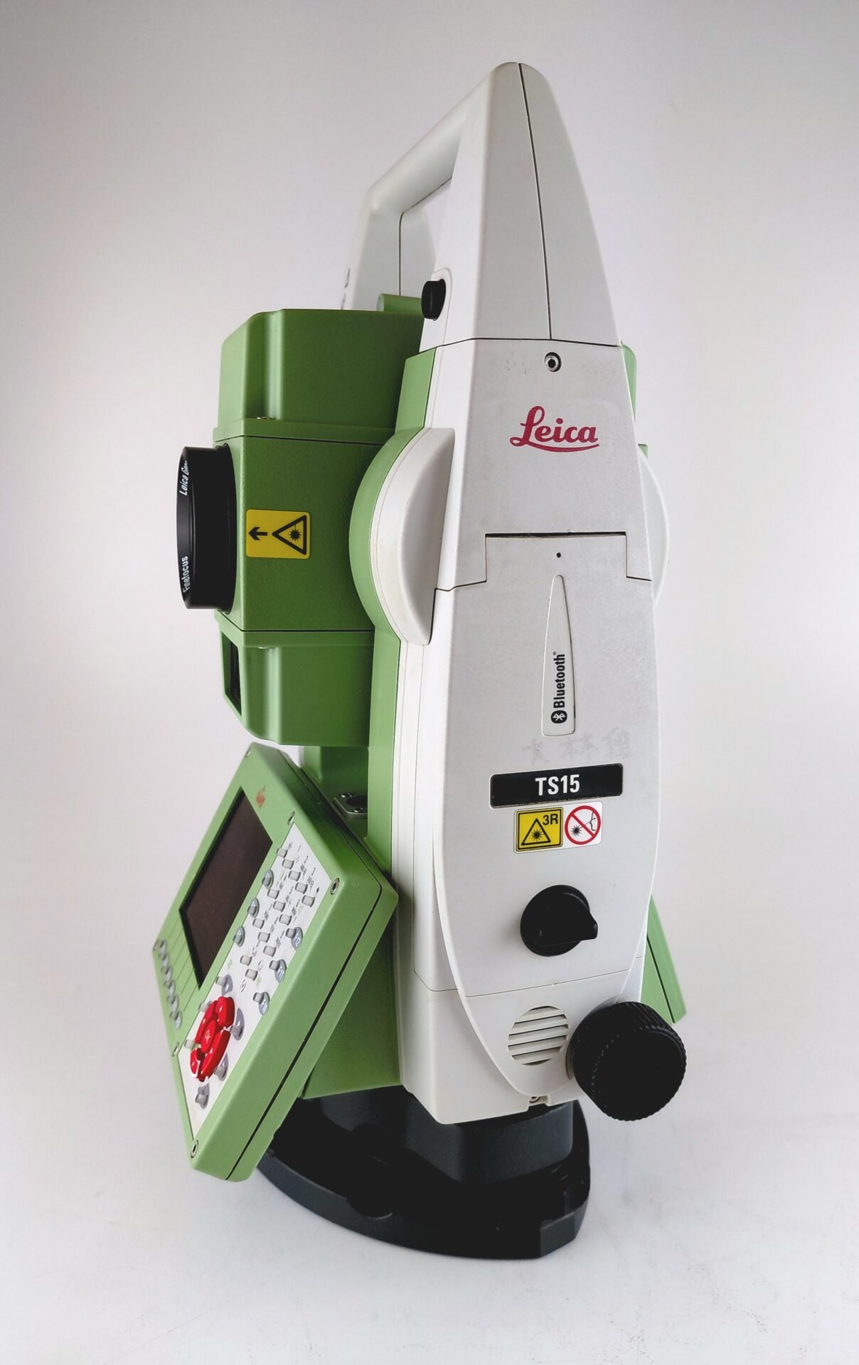
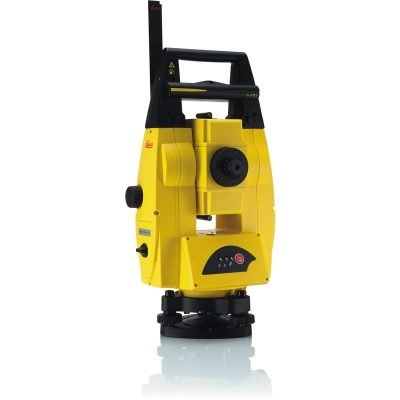
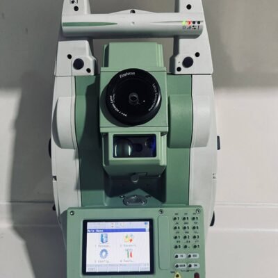
Leica TS15 R1000 3″ Robotic Total Station: High-Precision Surveying Solution
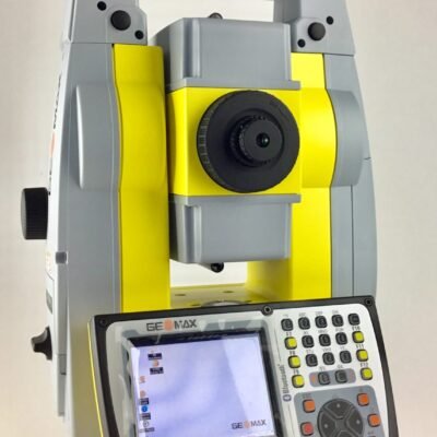
The Leica TS15 R1000 3″ Robotic Total Station is a professional-grade surveying instrument engineered for high-accuracy measurements and efficient field operations. Developed by Leica Geosystems, this robotic total station integrates advanced automation, precise angle measurement, and long-range reflectorless distance capabilities. It is widely used in construction, engineering, and geospatial data collection projects.
Key Features of Leica TS15 R1000
Robotic Operation for Increased Productivity
The TS15 R1000 enables one-person operation through robotic control. Surveyors can remotely control the instrument, reducing manpower requirements and increasing efficiency on-site.
High Accuracy 3″ Angle Measurement
With a 3-second angular accuracy, the device ensures precise horizontal and vertical angle measurements, making it suitable for high-precision applications.
R1000 Reflectorless Measurement Technology
The R1000 capability allows distance measurement up to 1000 meters without a prism, enabling safe and fast data collection in hard-to-reach or hazardous areas.
ATR (Automatic Target Recognition)
The built-in ATR technology automatically detects and locks onto prisms, improving measurement speed and minimizing human error.
Long Range Prism Measurement
The TS15 supports extended range measurements with prisms, ensuring flexibility across different surveying environments.
Core Applications
Construction Layout and Engineering
The TS15 R1000 is ideal for setting out structures, aligning components, and ensuring construction accuracy.
Topographic Surveys
Surveyors can efficiently capture terrain data with high precision for mapping and planning purposes.
Infrastructure Development
Used in road, bridge, and utility projects, the instrument provides reliable measurements for large-scale developments.
Monitoring and Deformation Analysis
The system supports continuous monitoring of structures, helping detect movement or deformation over time.
Advantages of Using Leica TS15 R1000
Enhanced Field Efficiency
Robotic operation and automated target tracking significantly reduce time spent on-site.
Reliable Measurement Accuracy
Leica’s precision engineering ensures consistent and dependable results.
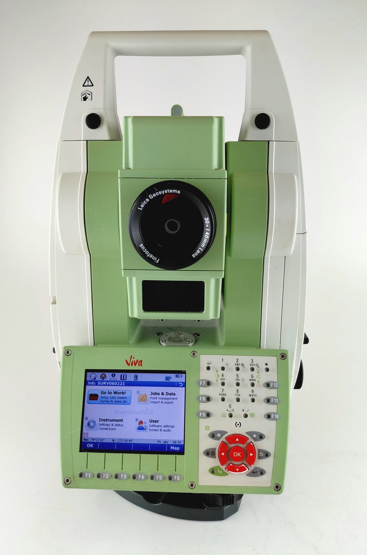
User-Friendly Interface
The intuitive interface allows surveyors to easily configure settings and manage workflows.
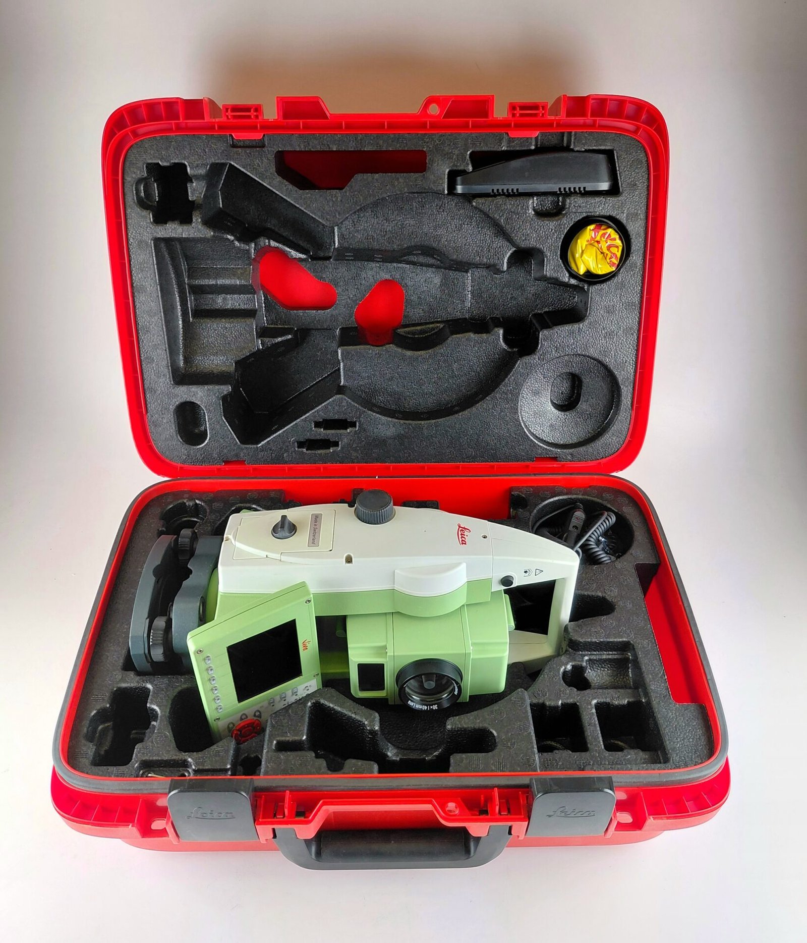
Durability and Field Readiness
Built for harsh environments, the TS15 R1000 is designed to withstand challenging weather and job site conditions.
Technical Specifications
Angle Measurement
- Accuracy: 3” (arc seconds)
- Measurement system: Absolute encoding
Distance Measurement (Reflectorless)
- Range: Up to 1000 meters (R1000)
- Technology: Laser-based EDM
Distance Measurement (Prism)
- Range: Several kilometers depending on prism type
Automation Features
- ATR (Automatic Target Recognition)
- Robotic control capability
Data Management
- Integrated software for data collection and transfer
- Compatible with surveying workflows and CAD systems
Display and Interface
- High-resolution touchscreen display
- User-friendly operating system
Why Choose Leica TS15 R1000 3″?
All-in-One Surveying Solution
Combines precision measurement, automation, and long-range capability in a single device.
Versatile Field Performance
Suitable for a wide range of surveying tasks across industries.
There are no reviews yet.