
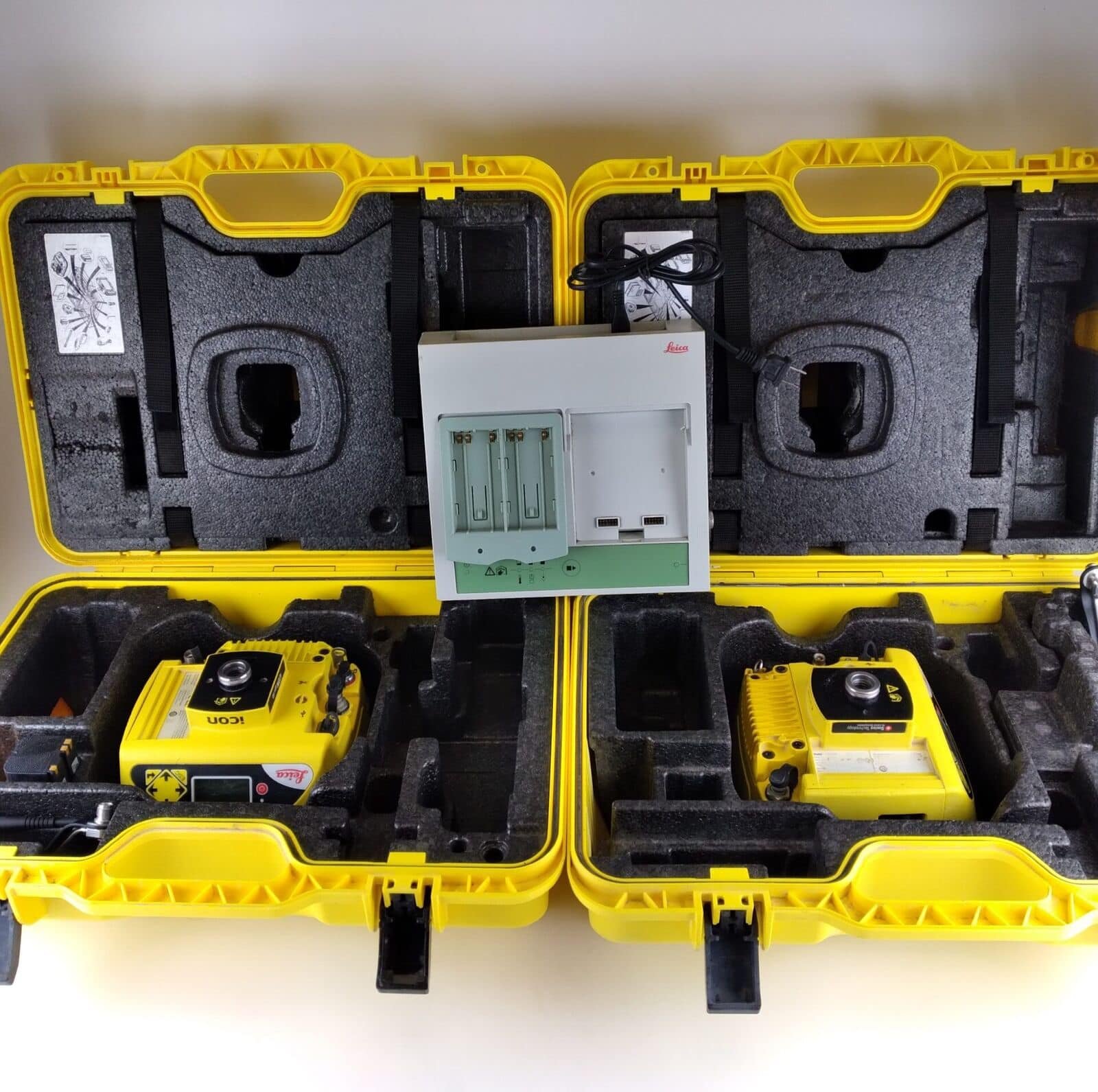
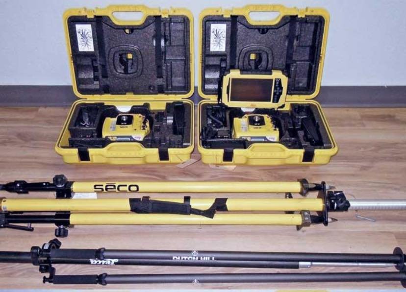
Product details
Leica iCG60 Base Rover Kit: Advanced GNSS Solution for Construction Positioning
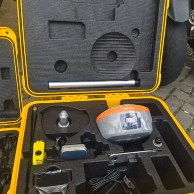
The Leica iCG60 Base Rover Kit is a versatile GNSS positioning system designed for construction professionals who require high accuracy, reliability, and seamless integration with machine control workflows. Developed by Leica Geosystems, this kit provides both base and rover functionality, making it ideal for site positioning, grading, and real-time data transfer.
What is the Leica iCG60 Base Rover Kit?
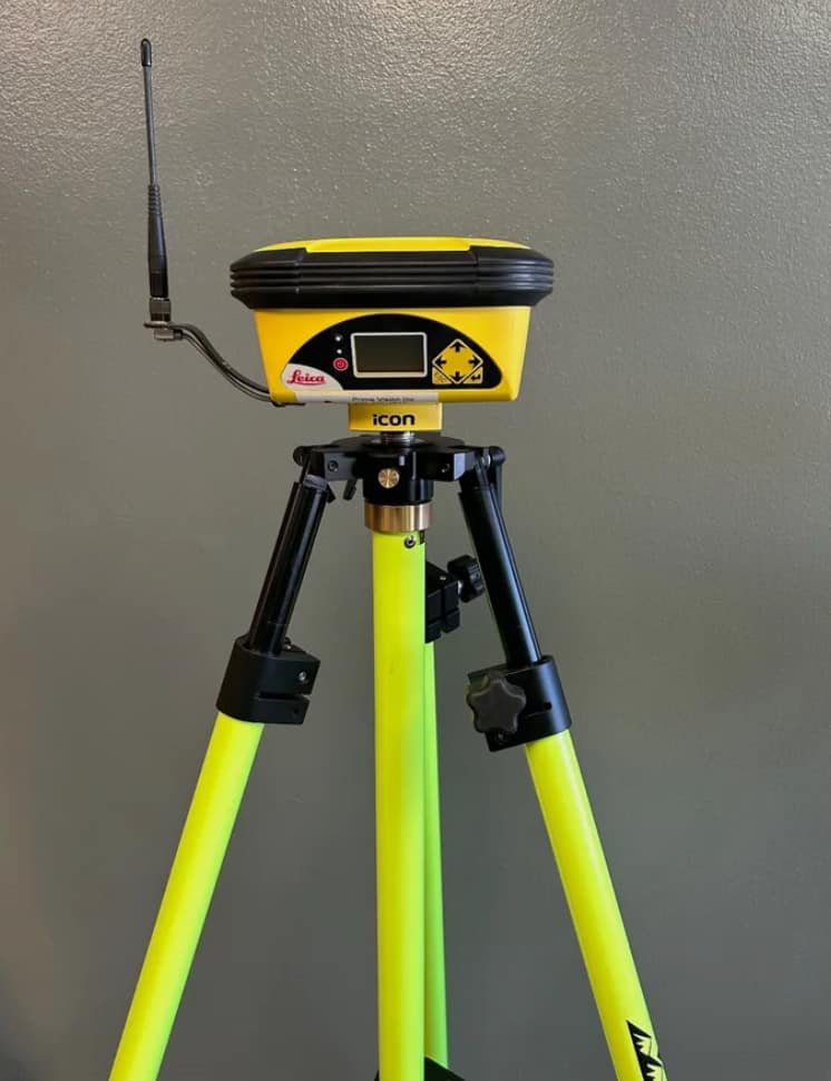
The iCG60 is a dual-purpose GNSS system that can operate as both a base station and a rover receiver. It is specifically engineered for construction environments, enabling precise positioning and efficient communication between field equipment and office systems.
Key Features of Leica iCG60
Multi-Constellation GNSS Tracking
The system supports multiple satellite constellations, including GPS, GLONASS, Galileo, and BeiDou, ensuring reliable positioning even in challenging environments.
Base and Rover Flexibility
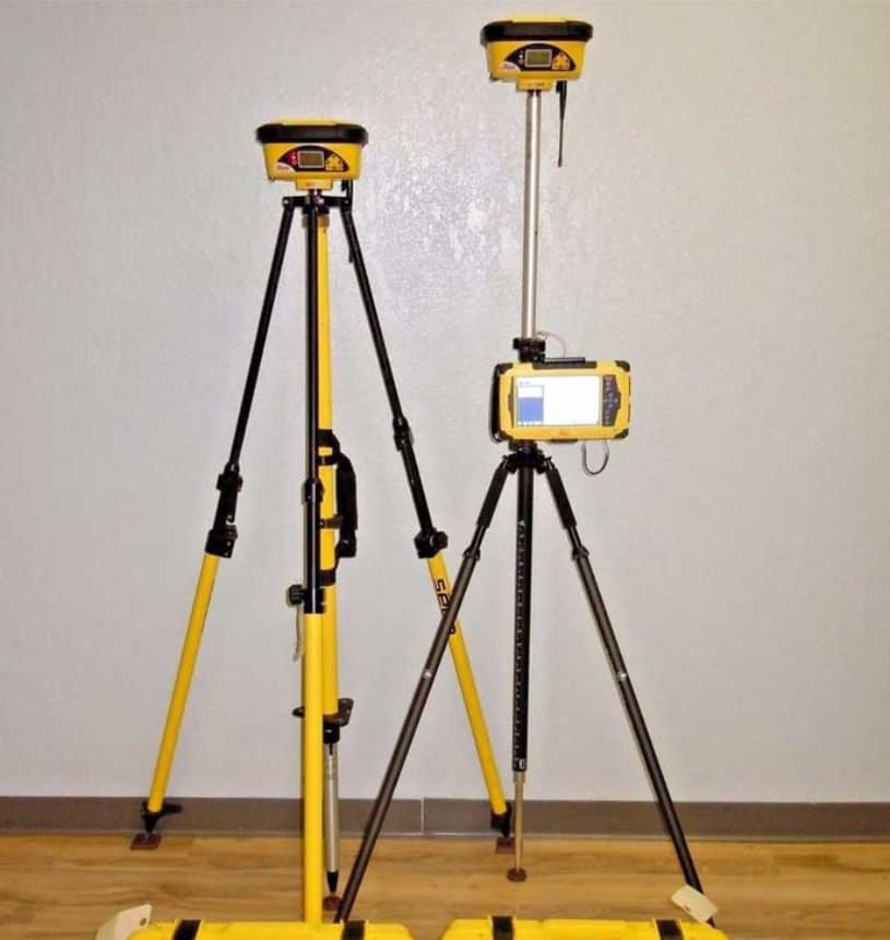
Users can configure the iCG60 as either a base station or a rover, offering flexibility for different project requirements.
Real-Time Data Communication
Integrated communication options allow seamless data transfer between base and rover, improving workflow efficiency.
Rugged Construction Design
Built for harsh jobsite conditions, the iCG60 is resistant to dust, water, and vibrations.
Benefits;
- Superior GNSS technology for maximum accuracy and reliability. Features Leica SmartTrack+, Smart-Check+ and Leica xRTK
- Future-proof satellite tracking supports a wide range of satellite signals (GPS L1, L2, L2C, L5 and GLONASS L1/L2, Beidou, Galileo)
- SmartLink – bridges RTK communication gaps up to 10 minutes
- Unique flexibility for entry level machine control mounted inside a construction machine and off machine applications
- Unique communication flexibility: integrated radio, modem and Bluetooth®
- Integrated high-speed 4G modem provides excellent network performance
- No controller required for base station set-up, meaning you need less hardware
- Stream corrections over the internet using NTRIP technology enables all construction rovers and machines to connect an iCON gps 60 base station without radio, removing radio coverage limitations and reducing the initial hardware investment
- Unique flexible software licensing and feature upgrade concept: you invest in what you need
- Flexible communication options for corrections: tailored to all sites and regions, swap equipment between base and rover easily as required
Benefits for Construction Professionals
High Accuracy Positioning
Delivers centimeter-level accuracy using RTK technology, ensuring precise layout and grading.
Improved Jobsite Efficiency
Real-time positioning and communication reduce delays and improve productivity.
Simplified Workflow
Integration with Leica software and machine control systems streamlines operations.
Applications of Leica iCG60
Construction Layout
Accurate positioning for site preparation and structural layout.
Machine Control
Supports grading and excavation equipment with real-time GNSS positioning.
Surveying Support
Used for quick surveys and verification tasks on construction sites.
Infrastructure Projects
Ideal for roads, bridges, and large-scale developments.
Why Choose Leica iCG60 Base Rover Kit?
Designed for Construction Environments
Engineered specifically for jobsite use with rugged durability.
Flexible GNSS Solution
Base and rover capability in one system reduces equipment needs.
Leica Ecosystem Integration
Works seamlessly with Leica iCON and machine control solutions.

There are no reviews yet.