

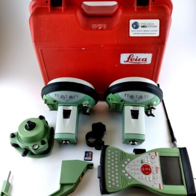
Product details
Leica GS18 I GNSS Rover – Advanced Visual Positioning GNSS RTK Rover for Intelligent Surveying
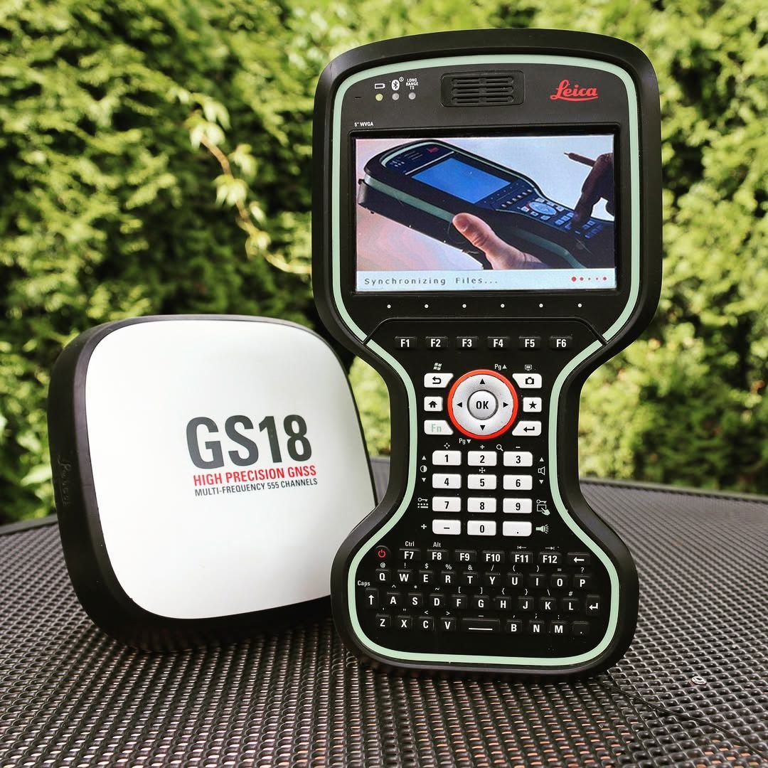
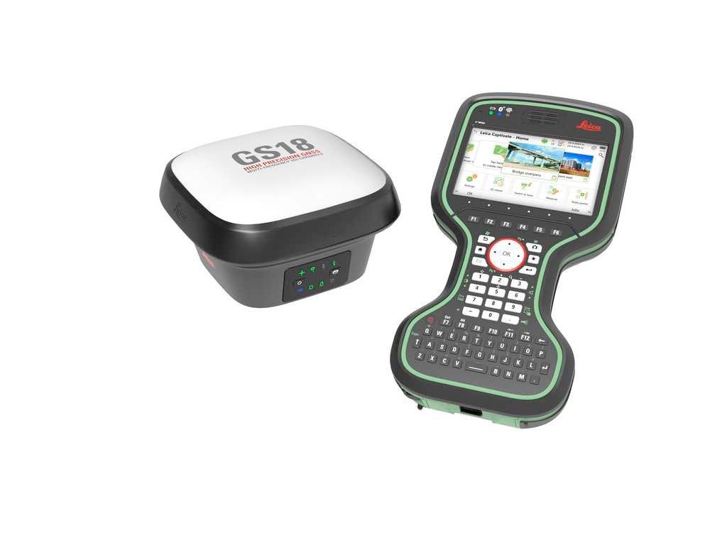
The Leica GS18 I GNSS Rover is a cutting-edge visual positioning GNSS RTK rover designed for high-precision surveying, construction positioning, topographic mapping, GIS data collection, and infrastructure measurement applications. Combining advanced GNSS RTK technology with integrated visual positioning capabilities, the GS18 I enables surveyors to measure points remotely using imagery while maintaining centimeter-level accuracy.
Developed by Leica Geosystems, the GS18 I integrates multi-constellation GNSS tracking, inertial measurement technology, advanced imaging systems, and intelligent field software into one compact and highly efficient surveying platform. This innovative rover improves productivity, enhances field safety, and simplifies complex measurement workflows in challenging environments.
Key Features of Leica GS18 I GNSS Rover
Integrated Visual Positioning Technology
The GS18 I introduces intelligent visual positioning that allows surveyors to capture measurements directly from images.
Visual Positioning Benefits
- Measure inaccessible points remotely
- Improved field safety
- Faster point collection
- Enhanced productivity in difficult environments
High-Precision GNSS RTK Performance
The advanced RTK engine provides reliable centimeter-level positioning accuracy.
RTK Advantages
- Fast RTK initialization
- Stable fixed solutions
- Reliable positioning performance
- Consistent measurement precision
Multi-Constellation GNSS Tracking
The receiver supports simultaneous tracking of multiple satellite constellations for improved signal reliability.
Supported Satellite Systems
- GPS
- GLONASS
- Galileo
- BeiDou
- QZSS
- SBAS
Leica Visual Inertial Technology (VIT)
The integrated inertial measurement system improves measurement efficiency without requiring pole leveling.
IMU Benefits
- Tilt compensation
- Faster point collection
- Reduced setup time
- Improved operational flexibility
Advanced Imaging System
The integrated camera system captures high-quality field imagery for visual measurements and documentation.
Imaging Features
- Real-time image capture
- 3D visual positioning
- Field documentation
- Enhanced data verification
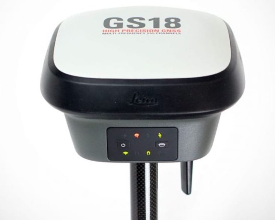
Rugged and Lightweight Design
Built for demanding outdoor environments while maintaining portability and ease of use.
Durability Features
- Waterproof housing
- Dustproof protection
- Shock-resistant construction
- Lightweight field portability
Applications of Leica GS18 I GNSS Rover
Land Surveying
Provides high-accuracy geospatial data collection for professional surveying projects.
Surveying Applications
- Boundary surveys
- Topographic mapping
- Control point measurement
- Cadastral surveys
Construction and Site Layout
Supports accurate positioning for construction and infrastructure projects.
Construction Uses
- Site positioning
- Earthwork layout
- Structural alignment
- Utility installation
GIS and Asset Mapping
Improves efficiency in GIS data collection and infrastructure mapping.
GIS Applications
- Asset inventory
- Utility mapping
- Environmental surveys
- Infrastructure documentation
Road and Infrastructure Measurement
Ideal for transportation and infrastructure surveying workflows.
Infrastructure Applications
- Highway surveying
- Bridge positioning
- Drainage mapping
- Utility corridor measurement
Hazardous or Inaccessible Point Measurement
Visual positioning technology improves safety during difficult measurements.
Safety Advantages
- Remote point capture
- Reduced exposure to hazards
- Safer roadside measurements
- Efficient inaccessible point surveying
Leica GS18 I GNSS Rover Technical Specifications
General Specifications
| Specification | Details |
|---|---|
| Product Name | Leica GS18 I GNSS Rover |
| Instrument Type | GNSS RTK Rover |
| Manufacturer | Leica Geosystems |
| Positioning Technology | GNSS RTK with Visual Positioning |
| Intended Applications | Surveying, GIS, Construction |
| Workflow Type | Visual Positioning Surveying |
GNSS Tracking Specifications
| Parameter | Specification |
|---|---|
| GPS Signals | L1, L2, L5 |
| GLONASS Signals | L1, L2 |
| Galileo Signals | E1, E5a, E5b |
| BeiDou Signals | B1, B2, B3 |
| QZSS Support | Supported |
| SBAS Support | Supported |
Positioning Accuracy Specifications
| Measurement Type | Accuracy |
|---|---|
| RTK Horizontal Accuracy | ±8 mm + 1 ppm |
| RTK Vertical Accuracy | ±15 mm + 1 ppm |
| Static Horizontal Accuracy | ±3 mm + 0.5 ppm |
| Static Vertical Accuracy | ±5 mm + 0.5 ppm |
| Network RTK Accuracy | Centimeter-Level |
Visual Positioning Specifications
| Parameter | Specification |
|---|---|
| Integrated Cameras | Multiple Wide-Angle Cameras |
| Visual Positioning | Supported |
| Remote Point Measurement | Supported |
| Image Capture | High-Resolution |
| Image-Based Surveying | Supported |
IMU and Tilt Compensation Specifications
| Parameter | Specification |
|---|---|
| IMU Technology | Leica Visual Inertial Technology |
| Tilt Compensation | Supported |
| Pole Calibration | Automatic |
| Calibration-Free Operation | Supported |
| Maximum Tilt Capability | High-Angle Measurement Support |
Communication Specifications
| Parameter | Specification |
|---|---|
| Cellular Connectivity | 4G LTE |
| Bluetooth | Integrated |
| Wi-Fi | Supported |
| UHF Radio | Optional |
| USB Connectivity | Supported |
| NFC | Supported |
Data Storage and Software
| Parameter | Specification |
|---|---|
| Internal Storage | Large Capacity Memory |
| Leica Captivate Compatibility | Supported |
| Leica Infinity Compatibility | Supported |
| Cloud Connectivity | Supported |
| Data Export Formats | Industry Standard Formats |
Environmental Specifications
| Parameter | Specification |
|---|---|
| Operating Temperature | -40°C to +65°C |
| Storage Temperature | -40°C to +80°C |
| Protection Rating | IP68 |
| Dust Protection | Complete Protection |
| Waterproof Rating | Immersion Resistant |
Power Specifications
| Parameter | Specification |
|---|---|
| Battery Type | Rechargeable Li-Ion |
| Operating Time | Up to 8 Hours |
| Hot Swap Battery | Supported |
| Charging Interface | USB-C Supported |
Physical Specifications
| Parameter | Specification |
|---|---|
| Weight | Approx. 1.25 kg |
| Receiver Design | Compact Integrated Rover |
| Housing Material | Industrial Reinforced Housing |
| Pole Mount Compatibility | Standard Survey Pole |
Advantages of Leica GS18 I GNSS Rover
Revolutionary Visual Surveying Workflow
The integrated visual positioning system transforms traditional field surveying.
Workflow Benefits
- Faster point measurement
- Reduced revisit requirements
- Efficient inaccessible point capture
- Improved site safety
Reliable Centimeter-Level Accuracy
Designed for demanding professional surveying applications.
Accuracy Advantages
- Stable RTK positioning
- Reliable satellite tracking
- Consistent field performance
- Precise data collection
Intelligent Tilt Compensation
The advanced IMU improves productivity without requiring pole leveling.
IMU Benefits
- Faster survey operation
- Improved flexibility
- Reduced operator effort
- Efficient field workflows
Rugged Field Durability
Built for reliable operation in challenging outdoor environments.
Durability Features
- Waterproof protection
- Dustproof housing
- Extreme-weather operation
- Long-term reliability
Industries That Use Leica GS18 I GNSS Rover
Surveying Industry
- Boundary surveying
- Geodetic measurement
- Topographic mapping
Construction Industry
- Site positioning
- Earthwork layout
- Infrastructure verification
GIS and Utility Mapping
- Asset management
- Utility surveys
- Infrastructure mapping
Transportation and Infrastructure
- Road surveying
- Bridge inspection
- Corridor mapping
There are no reviews yet.