
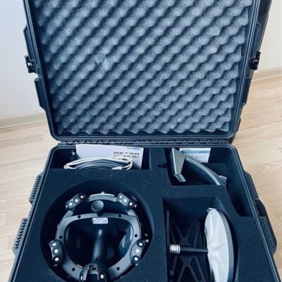
Product details
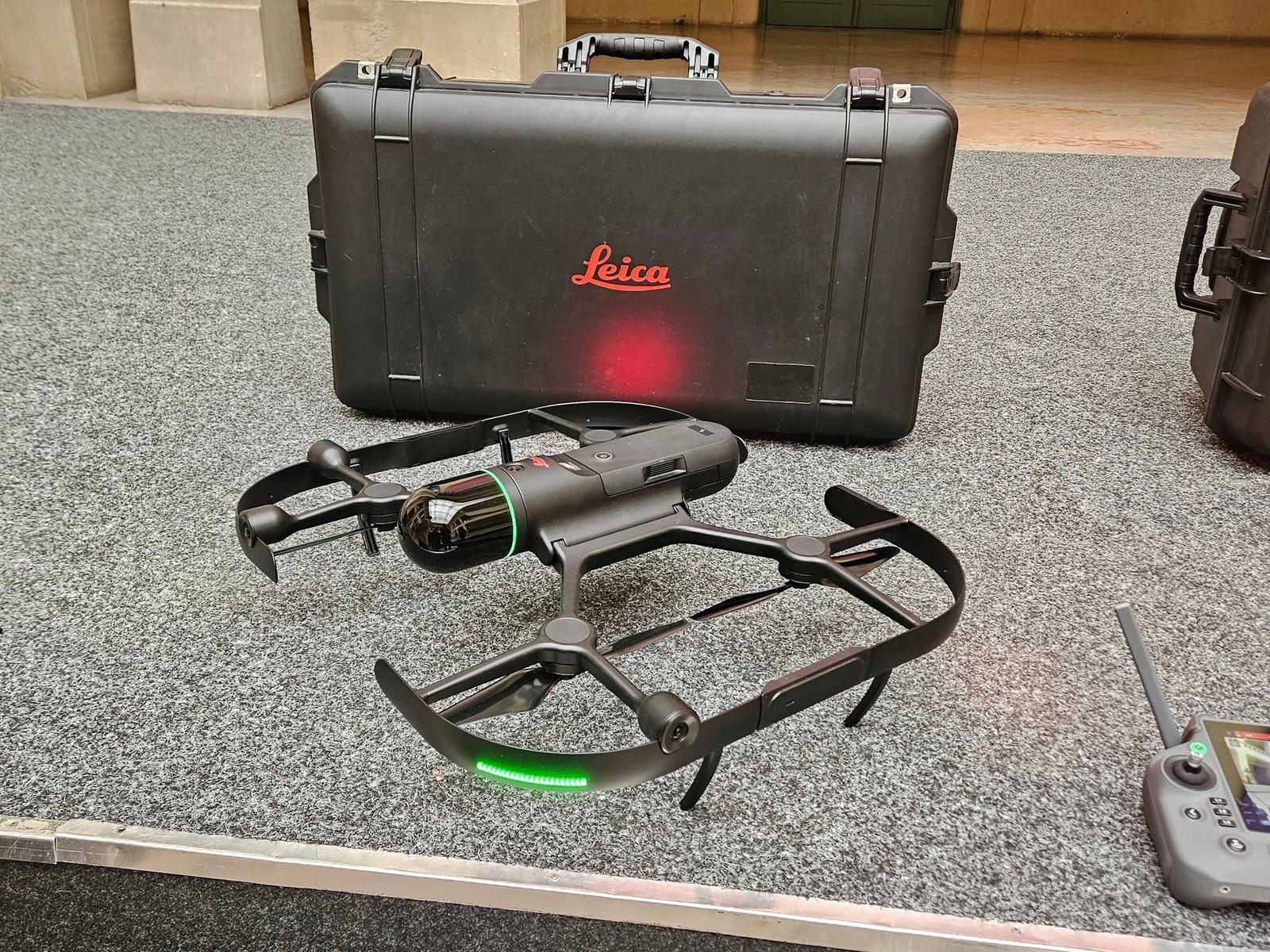
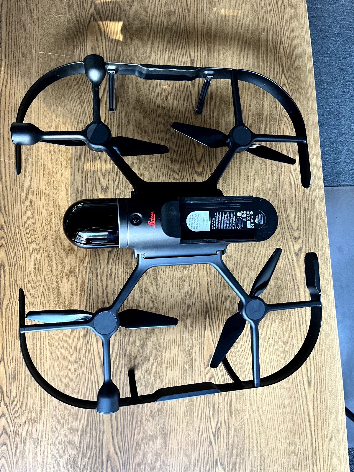
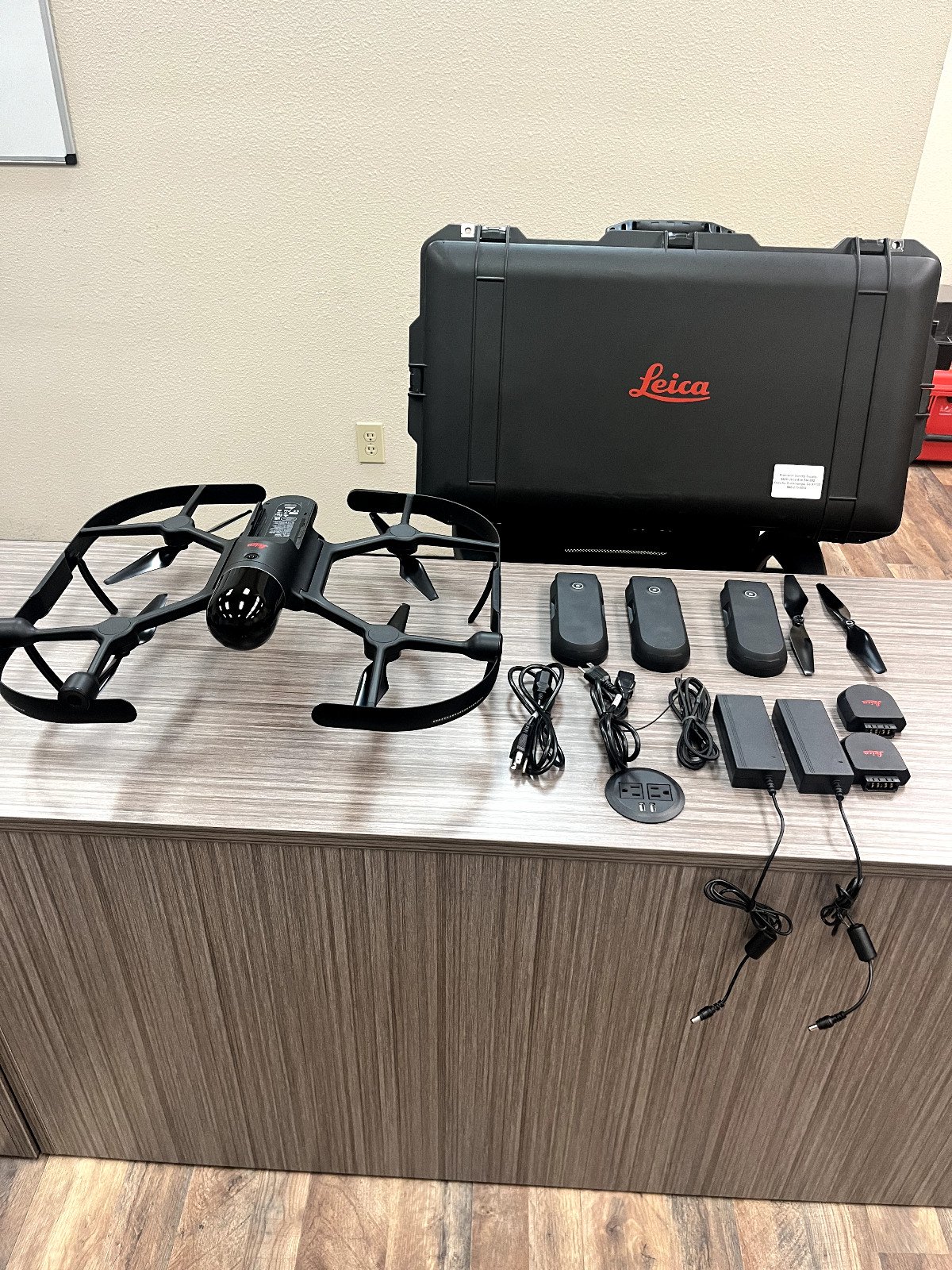
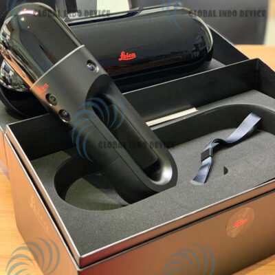
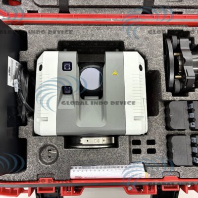
Leica BLK2FLY Drone LiDAR Scanner
The Leica BLK2FLY Drone LiDAR Scanner is an advanced autonomous flying laser scanning solution developed by Leica Geosystems. It is designed to capture high-accuracy 3D reality data of complex environments from the air, enabling fully automated aerial laser scanning without the need for traditional manual drone piloting.
This device integrates LiDAR sensing, intelligent flight autonomy, obstacle avoidance systems, and real-time data capture to generate dense point clouds for mapping, inspection, and digital twin creation.
Unlike conventional UAV photogrammetry systems, the BLK2FLY focuses on direct 3D LiDAR scanning, making it highly effective in environments with low light, complex geometry, or limited GNSS availability.
Key Features
Fully Autonomous Aerial LiDAR Scanning
The BLK2FLY is engineered to perform automated takeoff, navigation, scanning, and landing, reducing operator workload and minimizing human error.
Intelligent Obstacle Avoidance
Equipped with multi-directional sensors, it can detect and avoid obstacles in real time, allowing safe operation in complex environments such as:
- Industrial facilities
- Urban infrastructure
- Building interiors with open access points
High-Density Point Cloud Generation
The system captures dense spatial data to create detailed 3D point clouds suitable for:
- BIM modeling
- As-built documentation
- Structural analysis
Mobile and Portable Design
Compact and transportable, the system is designed for rapid deployment in field operations.
Real-Time Flight Intelligence
Advanced onboard processing enables adaptive flight paths based on environmental conditions and scanning requirements.
Technical Specifications
LiDAR System
- High-performance laser scanning unit (integrated SLAM + GNSS-assisted positioning)
- Capable of capturing dense 3D spatial point clouds
- Optimized for both indoor and outdoor mapping environments
Flight System
- Fully autonomous UAV platform
- Pre-programmed and adaptive mission planning
- Automatic takeoff and landing capability
Navigation & Positioning
- Multi-sensor fusion (LiDAR, GNSS, IMU)
- Real-time positioning correction
- Supports environments with partial or weak GNSS signals
Obstacle Detection System
- Multi-directional environmental sensing
- Dynamic obstacle avoidance algorithms
- Safe navigation in narrow and complex spaces
Data Output
- 3D point cloud datasets
- Compatible with industry-standard processing software
- Supports digital twin and BIM integration workflows
Software Integration
- Integrated mission planning software
- Cloud-based or desktop processing compatibility
- Data visualization and export tools for engineering applications
Power System
- Rechargeable intelligent battery system
- Field-swappable battery design for extended operations
Applications
Construction & Engineering
- As-built surveys
- Progress monitoring
- Site documentation
Architecture & BIM
- High-precision building modeling
- Renovation planning
- Structural analysis input
Industrial Inspection
- Facility mapping
- Equipment layout documentation
- Hazardous area scanning
Infrastructure & Utilities
- Bridge and tunnel inspection
- Power plant modeling
- Transportation infrastructure mapping
Surveying & Geospatial Mapping
- Topographic modeling
- Urban mapping
- Terrain analysis
Advantages of Leica BLK2FLY
1. Fully Autonomous Operation
Reduces dependency on skilled drone pilots, enabling easier deployment across teams.
2. High Safety in Complex Environments
Obstacle avoidance and autonomous navigation improve operational safety.
3. Faster Data Acquisition
Aerial LiDAR scanning significantly reduces field time compared to traditional surveying methods.
4. High Data Accuracy
Produces dense and reliable spatial datasets suitable for engineering-grade applications.
5. Versatile Deployment
Suitable for both indoor and outdoor environments, including hard-to-reach structures.
Workflow Process
Step 1: Mission Planning
Users define scanning areas and flight paths using dedicated software tools.
Step 2: Autonomous Flight Execution
The device performs automated takeoff and scans the environment while navigating safely.
Step 3: Data Collection
LiDAR sensors continuously capture spatial data during flight.
Step 4: Data Processing
Collected data is processed into structured 3D point clouds.
Step 5: Analysis & Export
Final datasets are exported for BIM, CAD, or geospatial analysis platforms.
Limitations and Considerations
- Requires appropriate operational clearance for UAV use in many regions
- Performance may vary in extremely reflective or transparent environments
- Data processing requires compatible software and computational resources
- Best results achieved with trained operators for mission planning optimization
There are no reviews yet.