
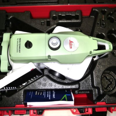
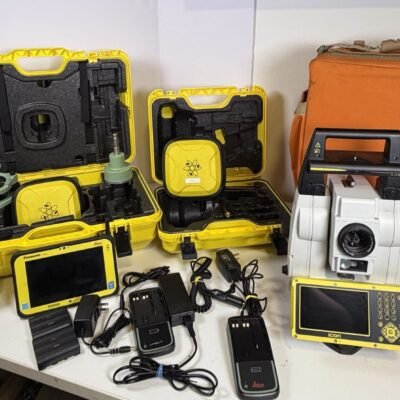
Product details
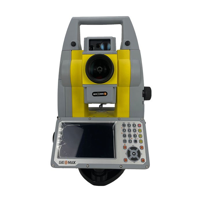
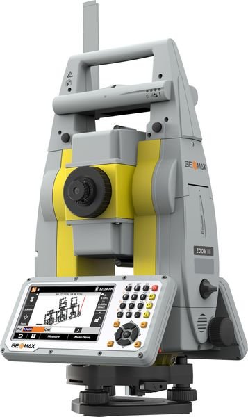
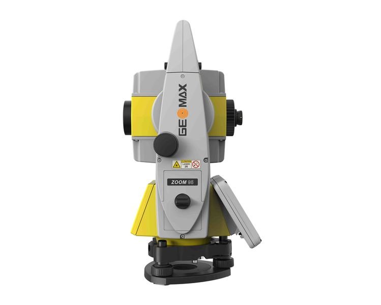
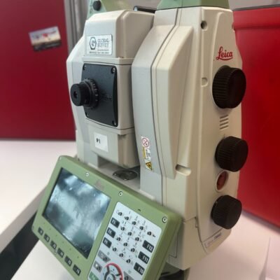
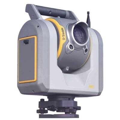
GeoMax Zoom95 5” Robotic Total Station
The GeoMax Zoom95 5” Robotic Total Station is an advanced one-person surveying solution designed for professionals who require exceptional accuracy, automation, speed, and reliability in demanding field conditions. Engineered with intelligent robotic technology, STReAM360 automation, and powerful reflectorless EDM capabilities, the Zoom95 increases productivity across construction, engineering, mapping, and infrastructure projects.
Developed for seamless field workflows, the Zoom95 integrates with GeoMax X-PAD software and supports advanced robotic surveying operations for faster data collection and efficient stakeout tasks.
Why Choose the GeoMax Zoom95 5” Robotic TS?
The GeoMax Zoom95 combines robotic precision with advanced automation features to simplify field operations while maintaining exceptional measurement accuracy.
Main Advantages
- One-person robotic operation
- High-speed prism tracking
- Advanced STReAM360 automation
- Long-range reflectorless EDM
- Accurate angle measurements
- Fast target acquisition
- Rugged IP55 field durability
- Integrated wireless communication
- X-PAD software compatibility
- Efficient construction layout workflows
The instrument is specifically designed to improve productivity on busy construction sites and complex survey projects.
GeoMax STReAM360 Robotic Technology
Fully Automated Prism Tracking System
The Zoom95 features STReAM360 technology, which delivers intelligent robotic functionality for uninterrupted field operation.
Scout Function
Automatically searches and locates the prism within seconds.
TRack Function
Maintains continuous prism lock while the surveyor moves around the site.
AiM Function
Precisely re-locks onto the prism even after temporary signal interruptions.
These automated features significantly reduce downtime and improve surveying efficiency during one-person operation.
High-Precision Angle Measurement
5-Second Angular Accuracy
The GeoMax Zoom95 5” version provides reliable angular precision suitable for demanding surveying applications.
| Specification | Value |
|---|---|
| Angular Accuracy | 5” |
| Angle Measurement System | Absolute Encoding |
| Minimum Display | 0.1” |
| Compensation | Dual-Axis Compensator |
The high-precision angle system ensures accurate measurements for construction staking, topographic mapping, and engineering surveys.
Advanced Electronic Distance Measurement (EDM)
Long-Range Reflectorless Measurement
The Zoom95 includes a high-performance EDM system capable of measuring long distances quickly and accurately.
Reflectorless Measurement Range
| Surface Condition | Range |
|---|---|
| Reflectorless | Up to 1,000 m |
| Single Prism | Up to 3,500 m |
| Multiple Prisms | Up to 10,000 m |
Distance Measurement Accuracy
| Mode | Accuracy |
|---|---|
| Prism Mode | ±(1 mm + 1.5 ppm) |
| Reflectorless Mode | ±(2 mm + 2 ppm) |
Measurement Speed
| Measurement Type | Speed |
|---|---|
| Fine Mode | Approximately 0.8 sec |
| Tracking Mode | Approximately 0.15 sec |
The fast EDM improves productivity for dynamic field operations and robotic stakeout tasks.
GeoTRAil GNSS Integration
Intelligent Prism Search Assistance
The optional GeoTRAil functionality uses GNSS positioning assistance to help the robotic total station quickly locate the prism.
Benefits of GeoTRAil
- Faster prism acquisition
- Reduced search time
- Improved robotic efficiency
- Better productivity on large sites
- Reliable operation in obstructed environments
This feature is especially useful on infrastructure and construction projects where line-of-sight interruptions occur frequently.
GeoMax Zoom95 5” Technical Specifications
Telescope Specifications
High-Quality Optics for Precise Observation
| Feature | Specification |
|---|---|
| Telescope Magnification | 30x |
| Objective Aperture | 45 mm |
| Image | Erect |
| Field of View | 1°30’ |
| Minimum Focus Distance | 1.7 m |
The high-resolution optics provide clear target visibility in bright sunlight and difficult environmental conditions.
Compensator Specifications
Automatic Tilt Compensation
| Feature | Specification |
|---|---|
| Compensator Type | Dual-Axis |
| Compensation Range | ±4’ |
| Setting Accuracy | 1” |
The automatic compensator minimizes angular errors caused by slight instrument tilts.
Robotic Motor Performance
Fast and Smooth Motorized Operation
| Feature | Specification |
|---|---|
| Rotation Speed | Up to 90°/sec |
| Robotic Tracking | Continuous |
| Target Reacquisition | Automatic |
| Search Function | Intelligent Scout |
The robotic motors enable smooth operation and fast target tracking during field movement.
Communication and Connectivity
Integrated Wireless Data Transfer
The Zoom95 supports multiple communication options for flexible field connectivity.
Connectivity Features
- Bluetooth
- Long-Range Bluetooth Handle
- USB Interface
- RS232 Serial Communication
- WLAN Support
- Internal Radio Modem (Optional)
Controller Compatibility
- GeoMax Zenius Field Controller
- Android Devices
- X-PAD Ultimate Software
These communication options simplify field data transfer and robotic control.
Onboard Software and Field Workflow
X-PAD Integration
The Zoom95 works seamlessly with GeoMax X-PAD Ultimate software for advanced surveying workflows.
Supported Applications
- Topographic Surveying
- Construction Stakeout
- Road Layout
- Tunnel Surveying
- Mining Surveys
- As-Built Documentation
- Volume Calculations
- Control Surveys
Workflow Benefits
- Faster field data collection
- Real-time visualization
- Cloud synchronization
- CAD compatibility
- Improved project coordination
Display and User Interface
Modern Touchscreen Operation
| Feature | Specification |
|---|---|
| Display Type | Color Touchscreen |
| Keyboard | Alphanumeric |
| Interface | Graphical User Interface |
| Operating System | Embedded Survey OS |
The intuitive interface allows surveyors to work efficiently even during long field sessions.
Data Storage and File Management
Reliable Survey Data Handling
| Feature | Specification |
|---|---|
| Internal Memory | Large Capacity Internal Storage |
| USB Support | Yes |
| Data Export Formats | CSV, DXF, LandXML |
| Project Management | Integrated |
The system supports efficient storage and transfer of large surveying datasets.
Environmental and Physical Specifications
Rugged Construction for Harsh Job Sites
| Feature | Specification |
|---|---|
| Protection Rating | IP55 |
| Dust Protection | Yes |
| Water Resistance | Yes |
| Operating Temperature | -20°C to +50°C |
| Storage Temperature | -40°C to +70°C |
| Weight | Approximately 5.3 kg |
| Battery Type | Li-Ion Rechargeable |
The durable housing ensures reliable operation under tough environmental conditions.
Battery Performance
Long Operational Runtime
| Feature | Specification |
|---|---|
| Battery Runtime | Up to 8 Hours |
| Hot-Swap Capability | Supported |
| Charging Time | Approximately 4 Hours |
The long battery life supports full-day surveying operations.
Applications of GeoMax Zoom95 5”
Construction Layout
The Zoom95 is ideal for:
- Building layout
- Structural alignment
- Foundation positioning
- Steel structure installation
- MEP layout
Topographic Surveying
Used for:
- Terrain mapping
- Boundary surveys
- Site development
- Elevation measurement
- Utility mapping
Infrastructure and Engineering
Suitable for:
- Road construction
- Railway alignment
- Bridge projects
- Tunnel surveying
- Airport development
Mining and Industrial Surveying
Perfect for:
- Open-pit mine surveys
- Plant alignment
- Industrial installations
- Stockpile calculations
- Monitoring applications
Benefits of Robotic Total Stations
Increased Productivity
One-person robotic operation significantly reduces labor requirements while increasing field efficiency.
Faster Stakeout Operations
Automated tracking and prism locking accelerate construction layout tasks.
Reduced Human Error
Robotic automation minimizes manual pointing errors and improves measurement consistency.
Improved Safety
Surveyors can work remotely from hazardous areas while maintaining accurate instrument control.
Comparison Between Robotic and Manual Total Stations
| Feature | Robotic TS | Manual TS |
|---|---|---|
| One-Person Operation | Yes | No |
| Automatic Tracking | Yes | No |
| Prism Reacquisition | Automatic | Manual |
| Productivity | Very High | Moderate |
| Construction Stakeout | Faster | Slower |
| Field Crew Requirement | 1 Person | 2 Persons |
The Zoom95 robotic system provides substantial workflow advantages over conventional manual instruments.
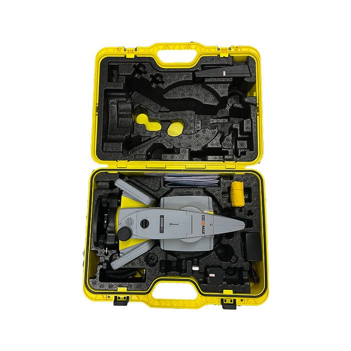
Accessories and Optional Equipment
Compatible Accessories
- GeoMax Field Controllers
- Radio Modems
- Survey Prisms
- Carbon Fiber Poles
- Tripods
- External Batteries
- Carrying Cases
- GNSS Integration Kits
There are no reviews yet.