
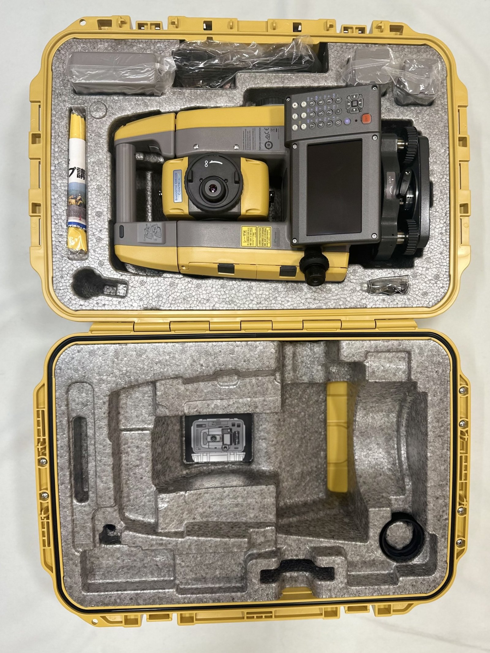
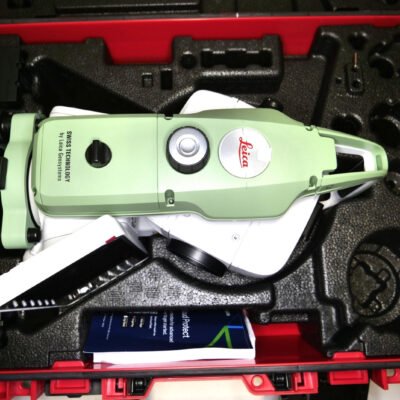
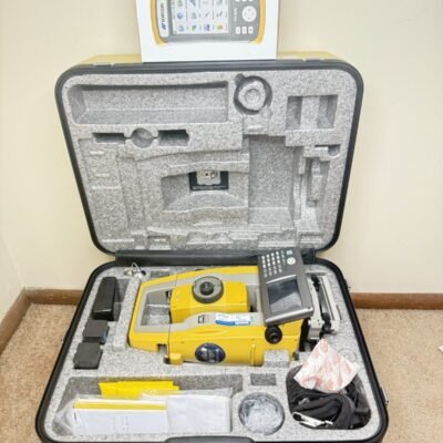
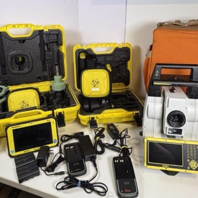
Product details
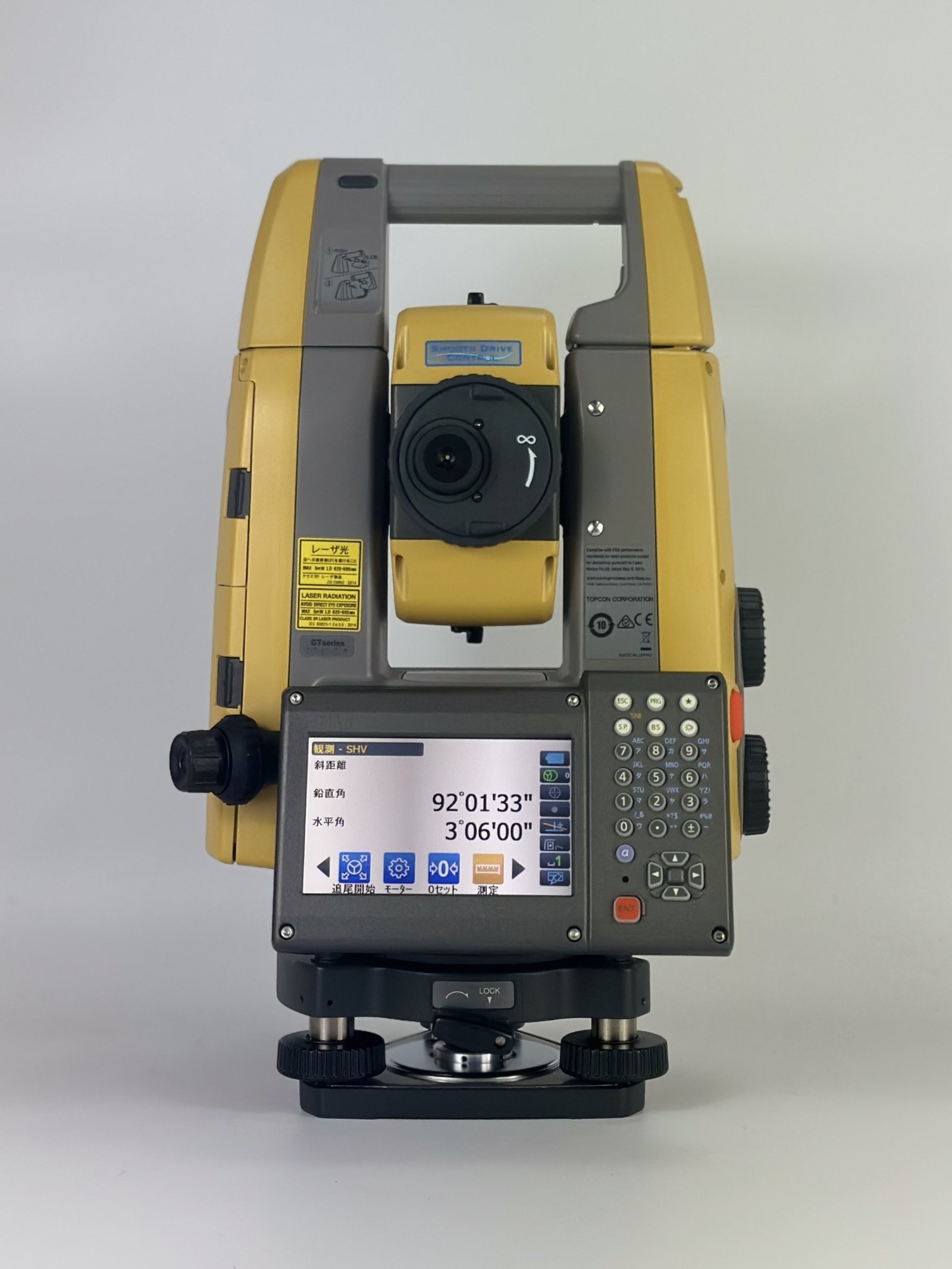
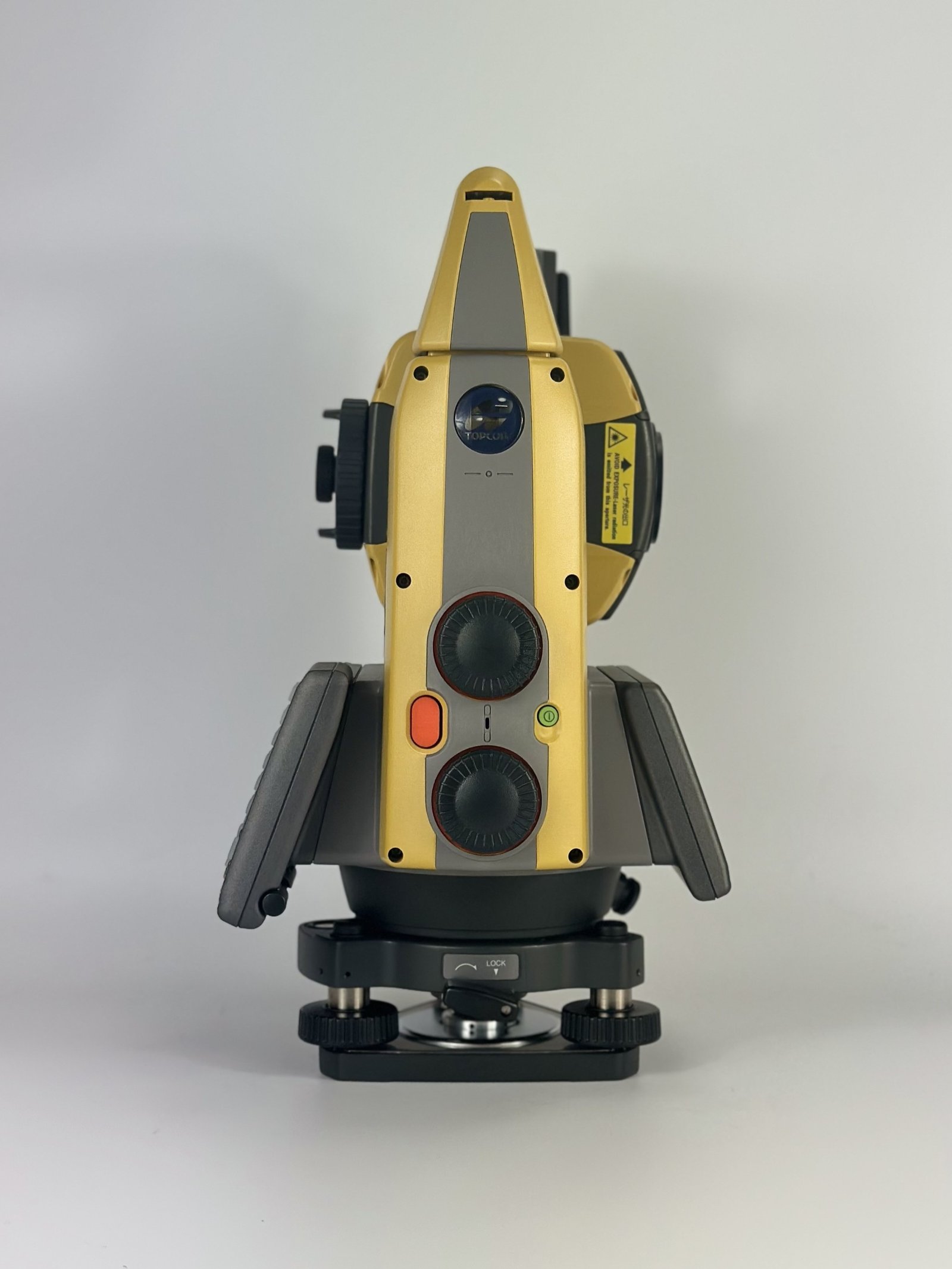
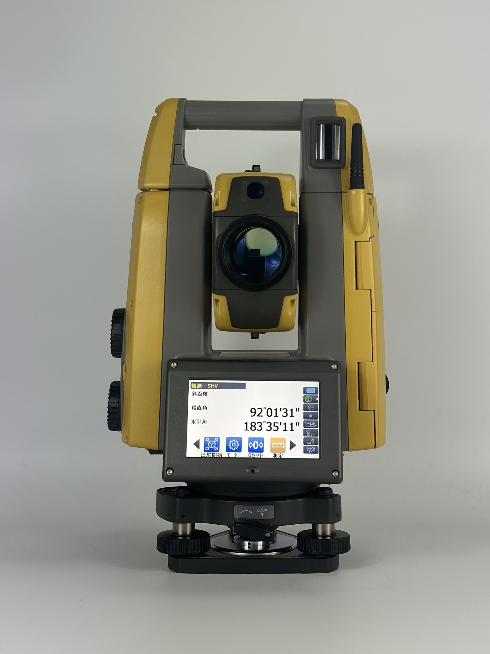
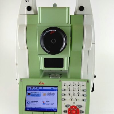
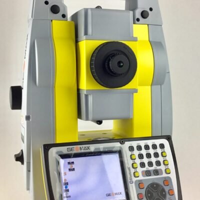
Topcon GT-1205 Imaging Total Station
The Topcon GT-1205 Imaging Total Station is a next-generation robotic surveying instrument engineered for high-precision geospatial measurement, construction layout, BIM verification, monitoring, and advanced imaging workflows. Combining robotic total station technology with intelligent imaging capabilities, the GT-1205 offers surveyors, engineers, and construction professionals a powerful solution for fast, accurate, and efficient field operations.
Designed with ultrasonic direct-drive motors, advanced prism tracking, integrated imaging systems, and Hybrid Positioning technology, the GT-1205 enhances productivity while supporting modern digital construction and reality capture workflows. Its lightweight design, rugged construction, and high-speed robotic performance make it suitable for demanding environments ranging from infrastructure projects to industrial construction sites.
What is the Topcon GT-1205 Imaging Total Station?
Intelligent Robotic Surveying System
The Topcon GT-1205 Imaging Total Station combines:
- Robotic total station functionality
- Advanced imaging technology
- High-speed EDM measurement
- Prism tracking automation
- Digital construction integration
- BIM-compatible surveying workflows
This integration allows users to perform precise measurements while simultaneously improving visual documentation and positioning accuracy in the field.
Main Features of the Topcon GT-1205 Imaging Total Station
High-Speed Ultrasonic Direct Drive Motors
The GT-1205 utilizes advanced ultrasonic direct-drive motor technology for silent, ultra-fast instrument rotation and reliable robotic tracking.
Key Benefits
- Rotation speed up to 180° per second
- Faster prism acquisition
- Reduced mechanical wear
- Smooth and silent movement
- Increased field productivity
Integrated Imaging Technology
Advanced Visual Surveying
The imaging capabilities of the GT-1205 improve target visualization, site documentation, and operator awareness during surveying operations.
Imaging Advantages
- Enhanced target recognition
- Improved remote operation
- Better visual verification
- Efficient documentation workflows
- Improved stakeout confirmation
UltraTrac Prism Tracking
Topcon’s UltraTrac™ technology allows continuous prism lock in difficult environments.
Benefits of UltraTrac
- Reliable robotic tracking
- Fast prism reacquisition
- Stable measurements in crowded job sites
- Reduced signal interruption
- Improved productivity
Hybrid Positioning Technology
GNSS and Optical Integration
The GT-1205 supports Hybrid Positioning workflows by combining GNSS technology with robotic total station measurements.
Advantages
- Faster project completion
- Flexible surveying workflows
- Improved positioning continuity
- Better performance in obstructed environments
Applications
Land Surveying
Surveying Tasks
- Boundary surveys
- Topographic surveys
- Control point establishment
- Geodetic measurement
- Cadastral surveys
- Utility mapping
Construction Layout
Construction Applications
- Structural layout
- Anchor bolt positioning
- Concrete form verification
- Steel alignment
- Interior layout
- Utility staking
BIM and Digital Construction
BIM Workflows
The imaging capabilities improve digital construction verification and visual documentation.
Supported Workflows
- BIM verification
- As-built documentation
- Construction QA/QC
- Clash detection
- Digital twin integration
Infrastructure and Civil Engineering
Civil Engineering Applications
- Road alignment
- Railway surveying
- Bridge construction
- Tunnel positioning
- Infrastructure monitoring
Specifications
Angle Measurement
| Specification | Value |
|---|---|
| Angle Accuracy | 5 arc-seconds |
| Reading System | Absolute encoder |
| Display Resolution | 0.5” / 1” |
| Compensation System | Dual-axis compensator |
| Compensation Range | ±6’ |
Distance Measurement
Prism Measurement
| Specification | Value |
|---|---|
| Maximum Prism Range | Up to 5,000 m |
| Ideal Range Conditions | Up to 6,000 m |
| Prism Accuracy | ±(1 mm + 2 ppm × D) |
| Measurement Speed | High-speed EDM |
Reflectorless Measurement
| Specification | Value |
|---|---|
| Reflectorless Range | Up to 1,000 m |
| Minimum Focus Distance | 1.3 m |
Robotic Performance
| Specification | Value |
|---|---|
| Maximum Rotation Speed | 180°/sec |
| Tracking Speed | 20°/sec |
| Tracking Technology | UltraTrac |
| Motor Technology | Ultrasonic Direct Drive |
| Remote Operation | Supported |
Telescope
| Specification | Value |
|---|---|
| Magnification | 30x |
| Objective Aperture | 38 mm |
| Resolving Power | 2.5” |
| Field of View | 1°30’ |
| Minimum Focus | 1.3 m |
| Image Type | Erect |
Imaging System
| Specification | Value |
|---|---|
| Integrated Imaging | Supported |
| Visual Documentation | Yes |
| Remote Viewing | Supported |
| Imaging Assistance | Enhanced targeting |
| BIM Visualization Support | Yes |
Display and User Interface
| Specification | Value |
|---|---|
| Display Type | 4.3-inch TFT WVGA |
| Touchscreen | Yes |
| Keyboard | Illuminated keypad |
| Interface | Touch and physical controls |
| Backlight | LED |
Communication and Connectivity
Wireless Connectivity
- Bluetooth Class 1
- Wireless robotic communication
- Field controller support
- Remote data transfer
Software Compatibility
- MAGNET Field
- MAGNET Office
- Pocket3D
- BIM software platforms
- CAD export systems
Environmental
Rugged Construction
| Specification | Value |
|---|---|
| Protection Rating | IP65 |
| Operating Temperature | -20°C to +50°C |
| Dust Protection | Yes |
| Water Resistance | Yes |
Productivity Advantages
Single-Operator Surveying
The GT-1205 allows one operator to complete complex surveying tasks efficiently.
Benefits
- Reduced labor costs
- Faster data collection
- Improved project efficiency
- Reduced setup time
- Increased mobility
High-Speed Construction Workflows
The robotic imaging system accelerates layout and verification tasks.
Workflow Improvements
- Faster stakeout operations
- Improved layout precision
- Reduced rework
- Enhanced field verification
Imaging Technology Benefits
Enhanced Visual Documentation
The imaging functionality provides better visual reference during surveying operations.
Imaging Workflow Advantages
- Improved project records
- Better communication with teams
- Easier issue identification
- Enhanced construction verification
Improved Remote Operation
Imaging support enables more efficient remote robotic workflows.
Remote Surveying Benefits
- Better prism targeting
- Increased operational safety
- Improved efficiency in hazardous areas
- Faster robotic positioning
Topcon GT-1205 Imaging Total Station vs Conventional Total Stations
| Feature | GT-1205 Imaging | Conventional Total Station |
|---|---|---|
| Robotic Operation | Yes | Limited |
| Integrated Imaging | Yes | No |
| Prism Tracking | UltraTrac | Manual |
| High-Speed Rotation | Yes | No |
| Hybrid GNSS Integration | Yes | Limited |
| BIM Compatibility | Advanced | Basic |
| Remote Visual Operation | Supported | Limited |
Industries Using the GT-1205 Imaging Total Station
Construction Industry
- Commercial construction
- Industrial facilities
- Infrastructure projects
- High-rise buildings
Surveying Industry
- Land surveying
- Geospatial mapping
- Utility surveys
- Transportation projects
Engineering Industry
- Structural monitoring
- Civil engineering
- Industrial alignment
- Transportation infrastructure
There are no reviews yet.