
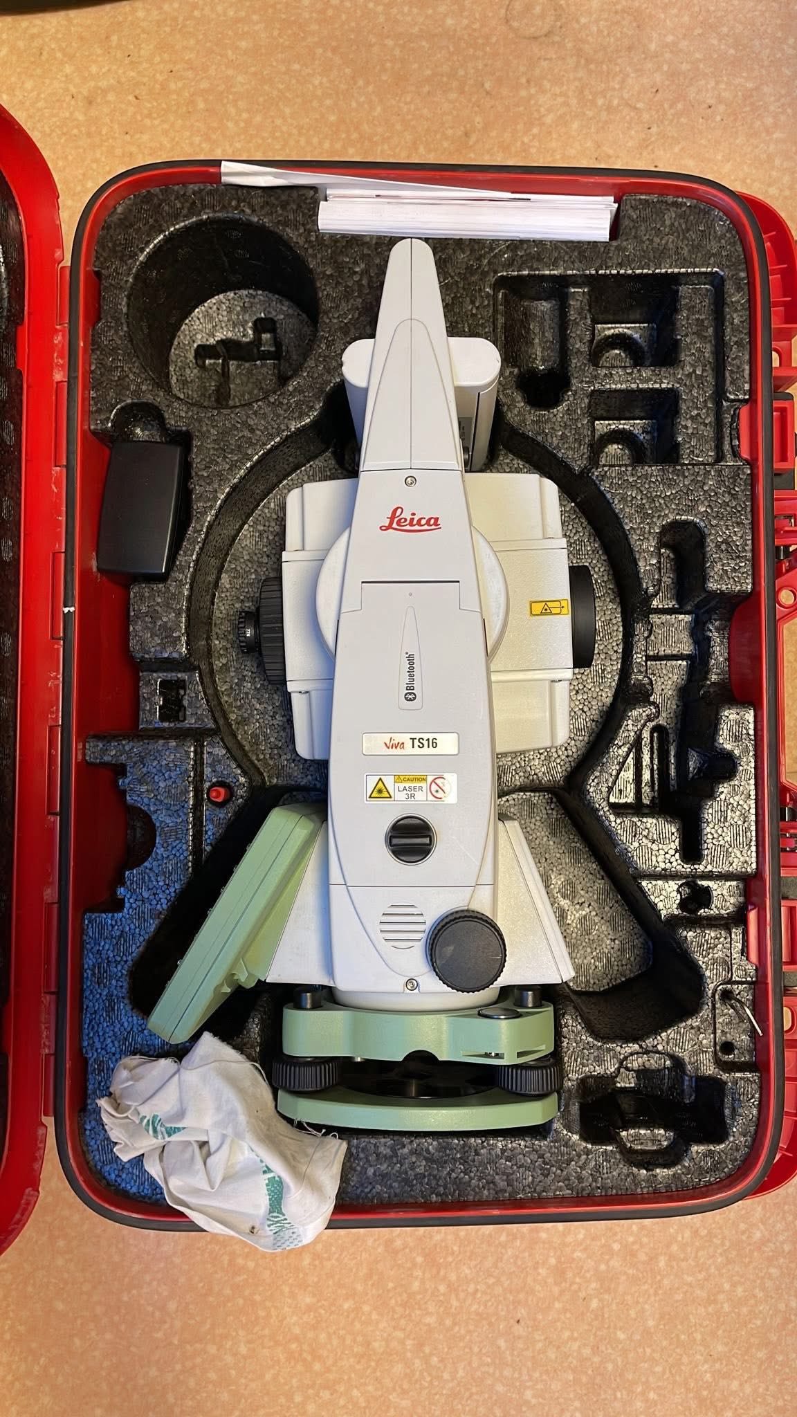
Product details
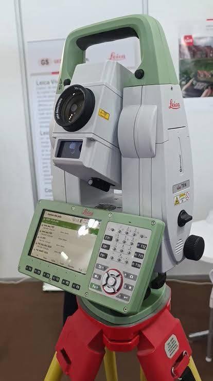
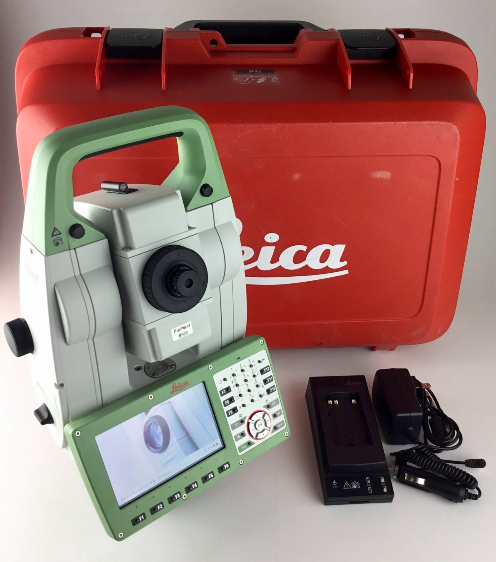
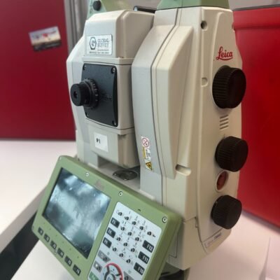
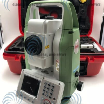
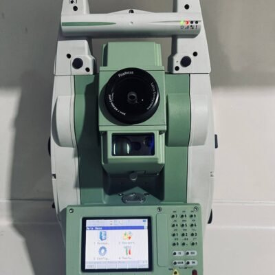
Leica TS16 P 1″ Total Station: High-Precision Robotic Surveying Solution
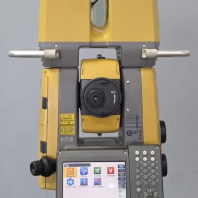
The Leica TS16 P 1″ Total Station is a high-performance robotic surveying instrument developed by Leica Geosystems. Designed for demanding surveying and construction applications, this total station combines precise angle measurement, long-range EDM performance, and intelligent automation technologies such as ATRplus and AutoHeight.
Key Features of Leica TS16 P 1″
Advanced ATRplus Technology
ATRplus (Automatic Target Recognition) enables precise prism tracking, even in challenging environments, improving measurement reliability and efficiency.
PowerSearch Functionality
This feature allows rapid prism detection, minimizing downtime when reacquiring targets.
AutoHeight Measurement
Automatically measures instrument height, reducing manual errors and improving workflow accuracy.
Robotic Operation
Supports one-person surveying with remote control capability, enhancing productivity in the field.
Benefits for Surveying Professionals
High Accuracy and Reliability
With 1″ angular accuracy, the TS16 P ensures precise data collection for critical surveying tasks.
Increased Efficiency
Automation features reduce manual input, saving time and minimizing human error.
Flexible Applications
Suitable for surveying, construction layout, monitoring, and infrastructure projects.
Applications of Leica TS16 P
Land Surveying
Accurate topographic surveys and boundary measurements.
Construction Layout
Precise stakeout and alignment for buildings and infrastructure.
Monitoring Projects
Used for deformation monitoring and structural analysis.
Infrastructure Development
Ideal for roads, bridges, and large-scale engineering projects.
Specifications of Leica TS16 P 1;
General Information
- Manufacturer: Leica Geosystems
- Product Type: Robotic Total Station
- Angular Accuracy: 1″
Angular Measurement
- Measurement Method: Absolute, continuous
- Compensator: Quadruple-axis
- Compensator Range: ±4′
- Display Resolution: 0.1″
Distance Measurement (EDM)
Prism Measurement
- Range: Up to 10,000 m
- Accuracy: ±(1 mm + 1.5 ppm)
- Measurement Time: ~1.0 sec
Reflectorless Measurement
- Range: Up to 1,000 m (PinPoint R1000)
- Accuracy: ±(2 mm + 2 ppm)
- Measurement Time: ~2–3 sec
ATR & Tracking
- ATRplus Range: Up to 1,500 m
- Lock Range: Up to 1,000 m
- PowerSearch Range: 300 m
- Tracking Speed: Dynamic continuous tracking
Telescope & Optics
- Magnification: 30×
- Focus Range: 1.7 m to infinity
- Autofocus: Yes
- Reticle: Illuminated
Motorization & Operation
- Drive System: Direct drives
- Rotation Speed: Up to 180°/sec
- Face Change Time: ~2.8 sec
Display & Interface
- Display: 5″ color touchscreen
- Operation: Dual-sided
- Keyboard: Full alphanumeric
- User Interface: Leica Captivate
Data & Connectivity
- Internal Memory: 2 GB
- External Storage: USB / SD card
- Interfaces:
- USB
- Bluetooth
- WLAN
- Mobile Connectivity: Optional 4G LTE modem
Software Compatibility
- Leica Captivate (field software)
- Leica Infinity (office software)
- BIM & CAD integration supported
Power Supply
- Battery Type: Lithium-Ion
- Operating Time: 6–8 hours
- Hot-swappable batteries: Yes
Environmental & Durability
- Protection Rating: IP65
- Operating Temperature: -20°C to +50°C
- Humidity: Up to 95% non-condensing
Physical Specifications
- Weight: Approx. 5.3 kg
- Build: Rugged field-ready design
Why Choose Leica TS16 P 1″?
Industry-Leading Automation
With ATRplus and robotic control, the TS16 P enables efficient one-person surveying operations.
Proven Leica Precision
Backed by Leica Geosystems’ reputation for high-quality measurement solutions.
Future-Ready Workflow
Supports digital data exchange, BIM integration, and modern surveying workflows.
There are no reviews yet.