
Product details
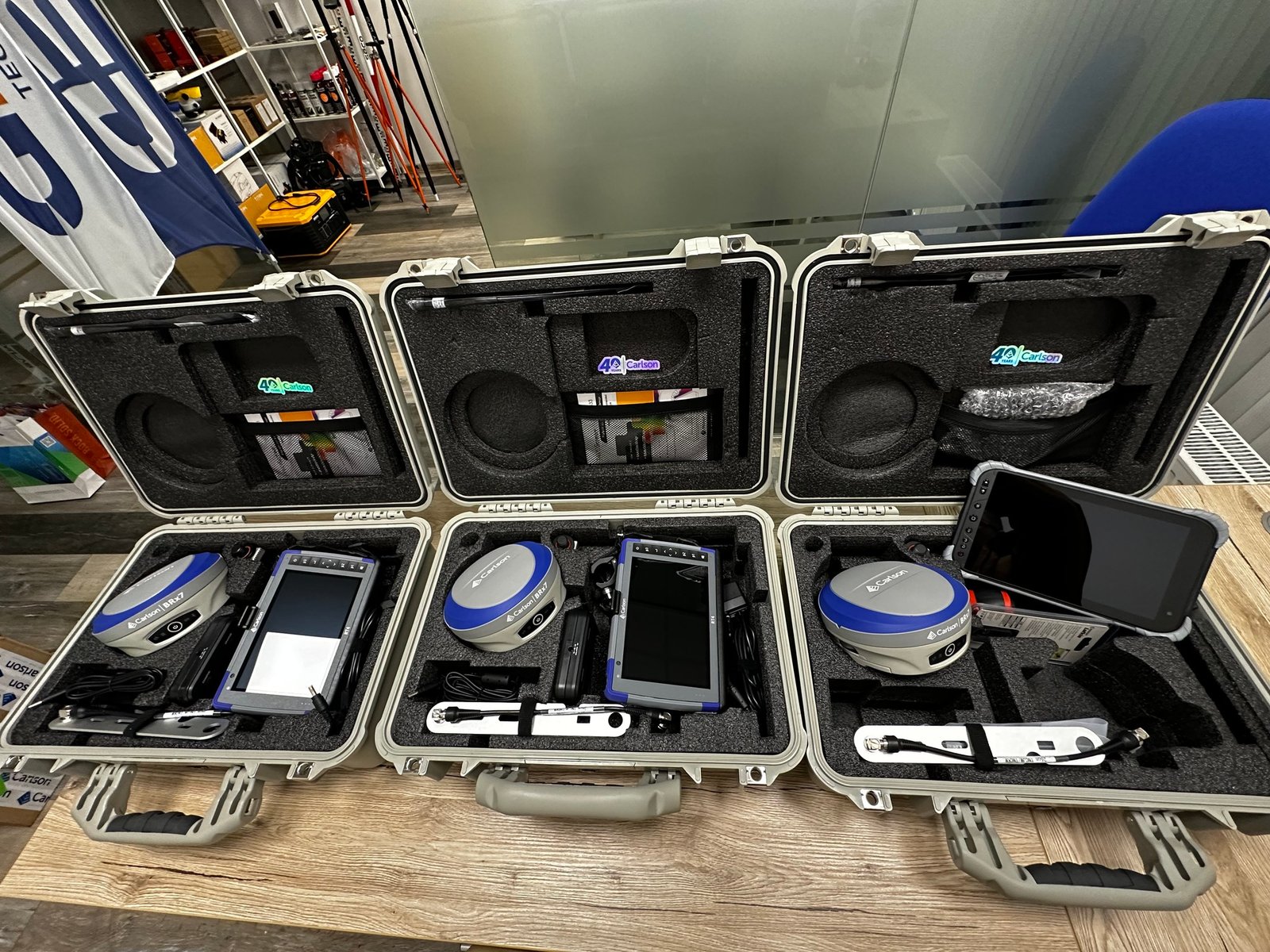
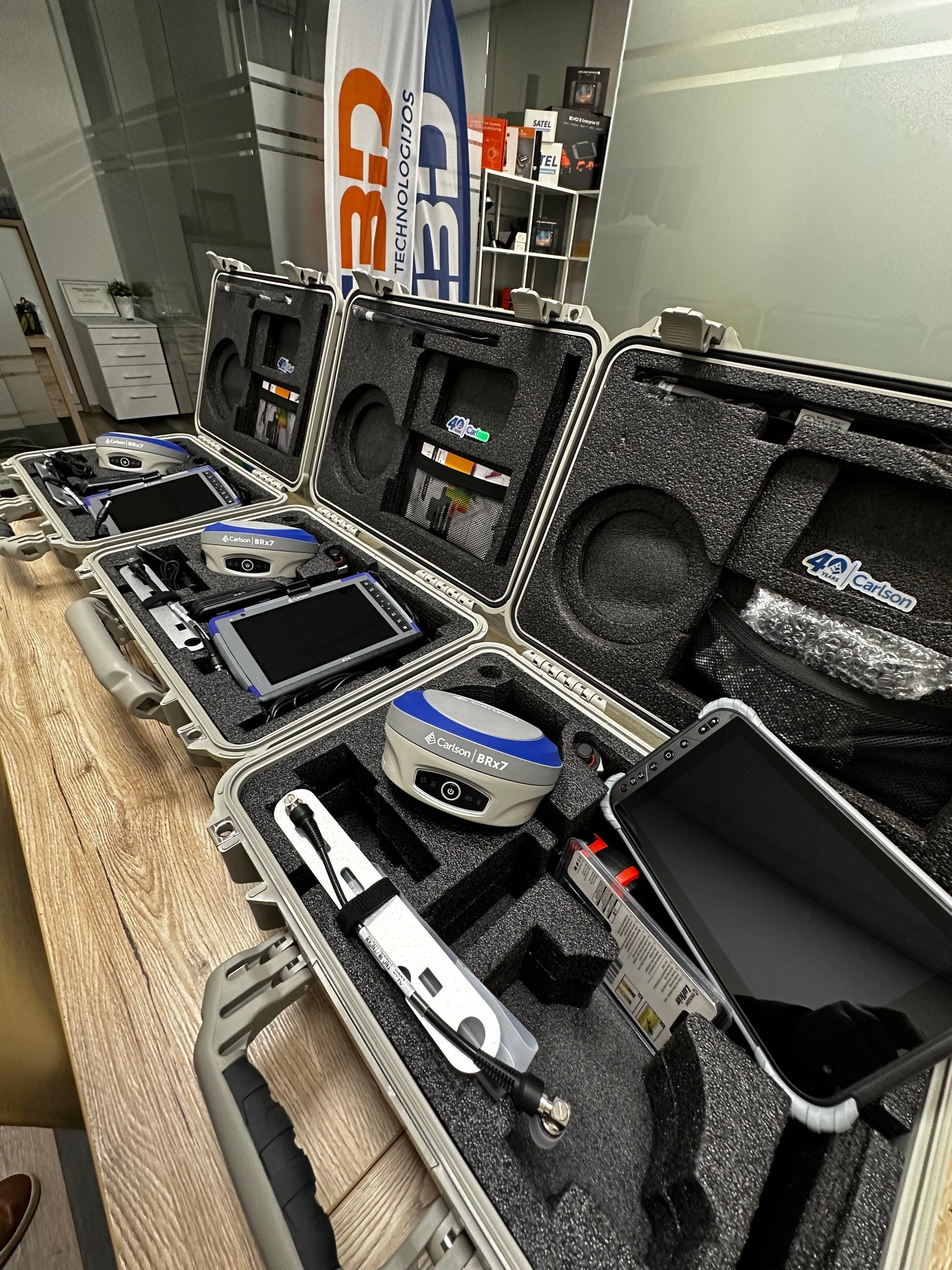
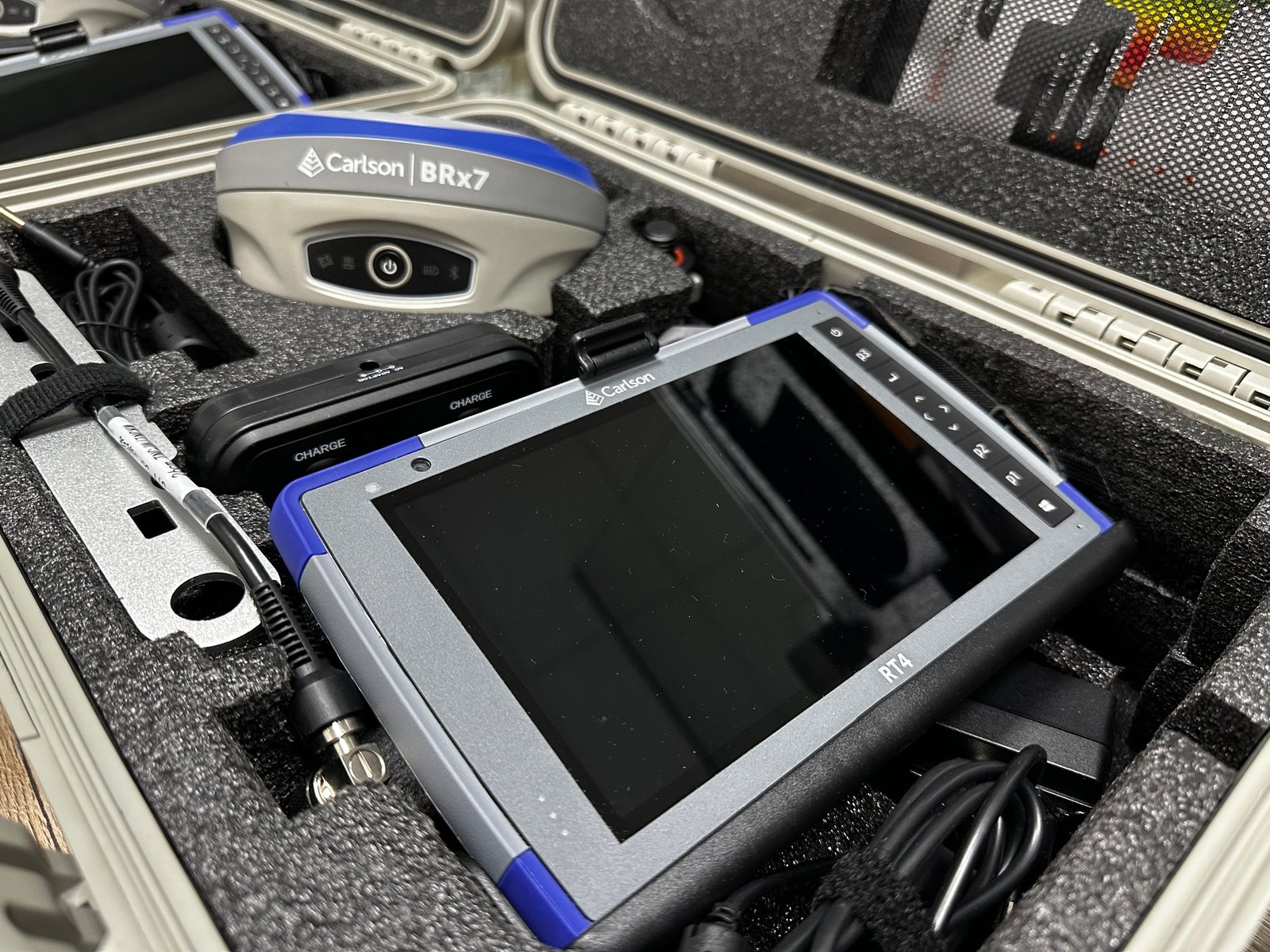
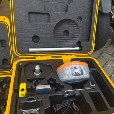
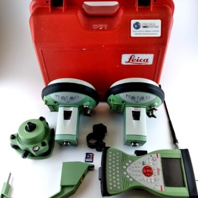
Carlson BRx7 GNSS Rover Kit
The Carlson Software BRx7 GNSS Rover Kit is a professional-grade positioning solution designed for surveyors who require speed, accuracy, and reliability in the field. Engineered for modern geospatial workflows, this advanced GNSS rover delivers precise positioning data for construction, mapping, and land surveying applications.
Understanding GNSS Technology
What is GNSS
Global Navigation Satellite System refers to a network of satellites that provide geolocation and time information to receivers on Earth. GNSS systems include GPS, GLONASS, Galileo, and BeiDou, enabling accurate positioning worldwide.
Benefits of GNSS in Surveying
GNSS technology allows surveyors to collect precise data quickly without the need for line-of-sight between points. This improves efficiency and reduces field time compared to traditional surveying methods.
Key Features of Carlson BRx7
Multi-Constellation Support
The BRx7 tracks multiple satellite systems simultaneously, improving accuracy and reliability even in challenging environments such as urban areas or dense vegetation.
High-Precision Positioning
Advanced RTK capabilities provide centimeter-level accuracy, making the rover suitable for demanding surveying and construction tasks.
Rugged and Field-Ready Design
Built to withstand harsh conditions, the BRx7 features a durable housing that resists dust, water, and extreme temperatures.
Compact and Lightweight
The rover’s ergonomic design ensures easy handling and portability, allowing surveyors to work efficiently throughout the day.
Performance and Connectivity
Fast Initialization and Signal Tracking
The BRx7 delivers rapid startup times and stable signal tracking, reducing downtime and improving productivity in the field.
Flexible Communication Options
The device supports multiple connectivity options, including radio, Bluetooth, and cellular communication, ensuring seamless data transfer and RTK corrections.
Long Battery Life
Designed for extended field operations, the BRx7 provides reliable battery performance to support full-day surveying tasks.
User Experience and Workflow Efficiency
Easy Integration with Survey Software
The rover integrates smoothly with field data collection software, enabling efficient workflows and accurate data management.
Intuitive Operation
User-friendly controls and interfaces simplify setup and operation, reducing training requirements and improving usability.
Reliable Data Collection
The system ensures consistent and accurate data capture, supporting high-quality survey results.
Applications Across Industries
Land Surveying
The BRx7 is widely used for boundary surveys, topographic mapping, and cadastral work.
Construction and Engineering
It supports site layout, grading, and infrastructure development with high precision.
GIS and Mapping
Professionals use the rover for collecting geospatial data for mapping and analysis.
Environmental and Utility Surveys
The device is ideal for monitoring natural resources, utilities, and environmental conditions.
Benefits of Using Carlson BRx7
Increased Productivity
Fast data collection and reliable performance reduce field time and improve efficiency.
High Accuracy and Reliability
Multi-constellation GNSS support ensures consistent positioning accuracy.
Versatile Field Operation
Portable design and flexible connectivity make it suitable for a wide range of applications.
There are no reviews yet.