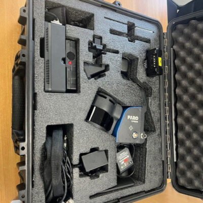
FARO ORBIS Mobile Scanner
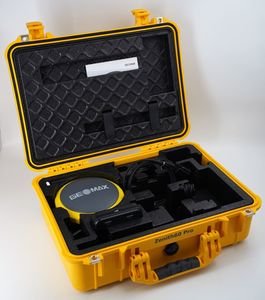
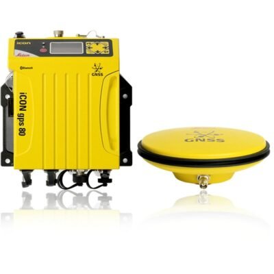
GeoMax Zenith60 Pro Survey Receiver
Leica BLK360 G1 Imaging Scanner
The Leica BLK360 G1 Imaging Scanner is a lightweight and portable 3D reality capture solution that combines LiDAR scanning, panoramic HDR imaging, and thermal imaging into one compact device. Designed for architecture, construction, surveying, and facility management, it enables fast and accurate point cloud generation for digital documentation and BIM applications.
The Leica BLK360 G1 Imaging Scanner is a lightweight and portable 3D reality capture solution that combines LiDAR scanning, panoramic HDR imaging, and thermal imaging into one compact device. Designed for architecture, construction, surveying, and facility management, it enables fast and accurate point cloud generation for digital documentation and BIM applications.
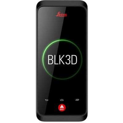
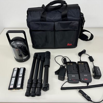
Leica BLK3D Real-Time Imager
The Leica BLK3D Real-Time Imager is an advanced handheld imaging solution that captures measurable photographs in real time using stereo photogrammetry technology. Designed for architecture, construction, engineering, surveying, and facility management, it enables users to extract accurate dimensions and spatial measurements directly from images for efficient digital documentation workflows.
The Leica BLK3D Real-Time Imager is an advanced handheld imaging solution that captures measurable photographs in real time using stereo photogrammetry technology. Designed for architecture, construction, engineering, surveying, and facility management, it enables users to extract accurate dimensions and spatial measurements directly from images for efficient digital documentation workflows.
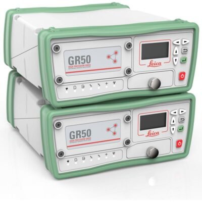
Leica GR30 GR50 Reference Receiver
The Leica GR30 GR50 Reference Receiver is a high-performance GNSS reference station solution designed for continuous monitoring, geodetic infrastructure, CORS networks, and scientific research. Featuring multi-constellation GNSS tracking, secure data handling, real-time streaming, and long-term operational stability, it provides reliable geodetic-grade positioning for permanent monitoring applications.
The Leica GR30 GR50 Reference Receiver is a high-performance GNSS reference station solution designed for continuous monitoring, geodetic infrastructure, CORS networks, and scientific research. Featuring multi-constellation GNSS tracking, secure data handling, real-time streaming, and long-term operational stability, it provides reliable geodetic-grade positioning for permanent monitoring applications.