
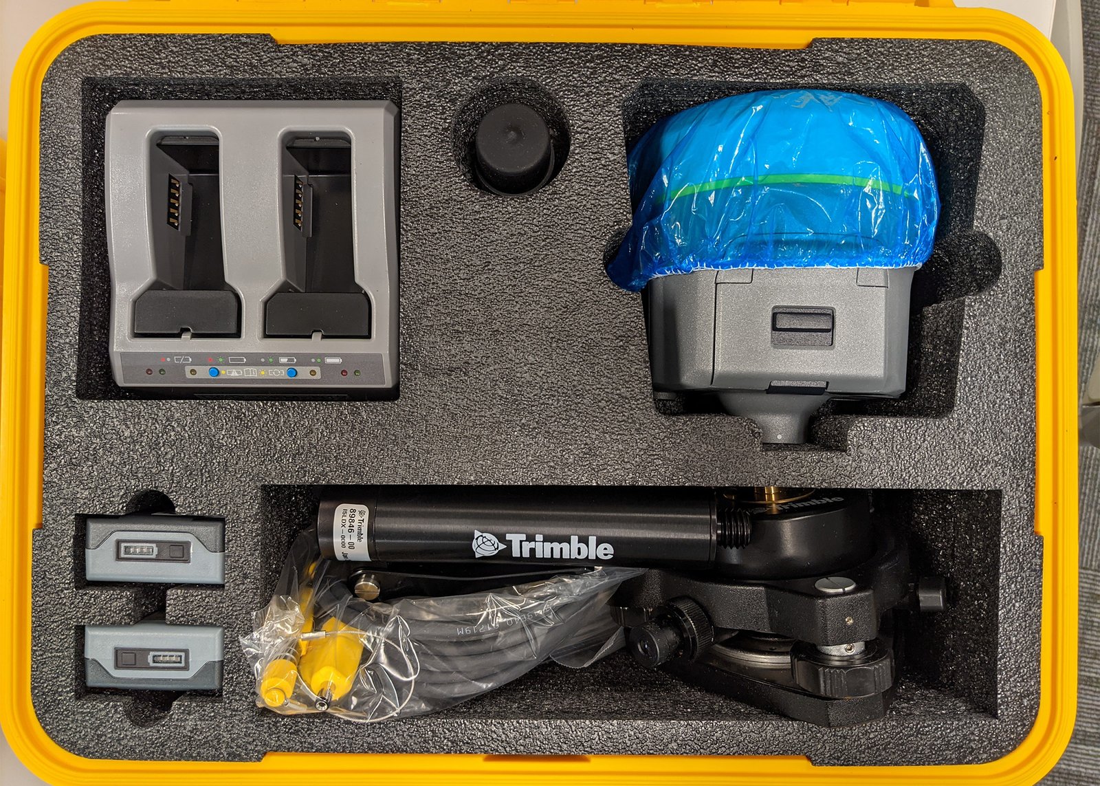
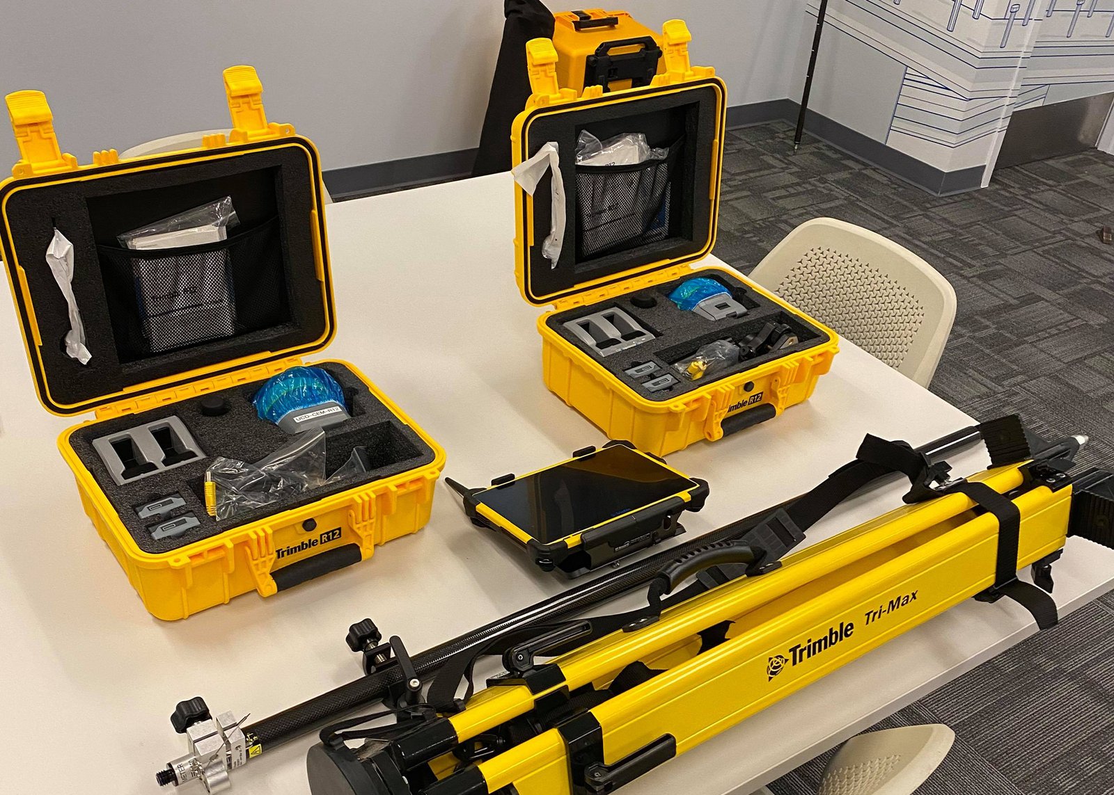
Product details
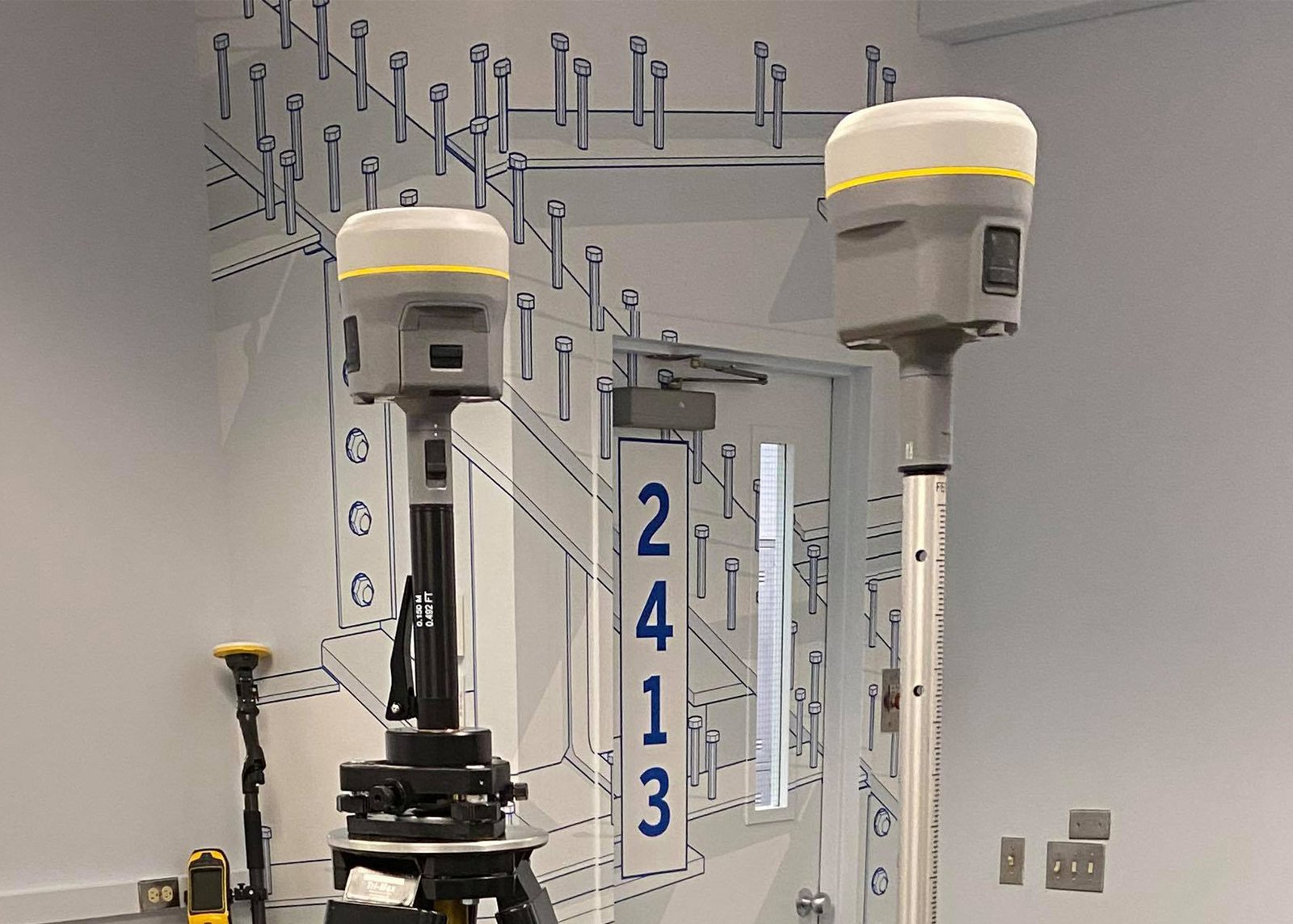
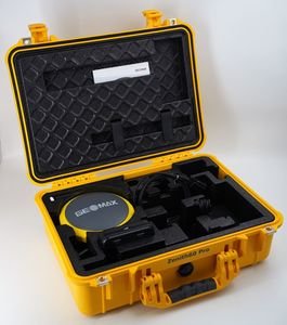
Trimble R12 GNSS System
The Trimble R12 GNSS System is a professional-grade GNSS receiver designed for high-precision surveying, construction layout, geospatial mapping, and infrastructure projects. Engineered with advanced GNSS positioning technologies, the Trimble R12 delivers exceptional RTK performance, reliable satellite tracking, and superior productivity in difficult survey environments such as dense urban areas and heavy tree canopy.
Powered by Trimble ProPoint™ GNSS technology and integrated Trimble TIP™ tilt compensation, the Trimble R12 enables surveyors to collect accurate points faster without compromising precision. The receiver is widely used by survey professionals, civil engineers, GIS specialists, and construction contractors who require dependable performance and seamless field-to-office workflows.
Why Choose the Trimble R12 GNSS System?
Exceptional GNSS Positioning Performance
The Trimble R12 is built to deliver reliable positioning performance in environments where traditional GNSS receivers struggle.
Key Benefits
- Fast RTK initialization
- Improved signal tracking in obstructed environments
- Reduced multipath interference
- Stable positioning under canopy
- Enhanced productivity in difficult terrain
The system uses advanced GNSS algorithms to maintain accuracy even near buildings, trees, and reflective surfaces.
Trimble ProPoint GNSS Technology
The receiver integrates Trimble ProPoint GNSS technology, which significantly improves survey reliability and field efficiency.
Advantages of ProPoint Technology
- Optimized satellite processing
- Better low-elevation satellite tracking
- Faster convergence times
- Improved measurement consistency
- Stronger signal retention
Trimble TIP Tilt Compensation
Trimble TIP™ technology allows users to measure points without leveling the survey pole.
Benefits of Tilt Compensation
- Faster point collection
- Improved accessibility in tight spaces
- Reduced physical strain on operators
- Increased field productivity
- Enhanced safety near roads and hazardous terrain
Key Features of Trimble R12 GNSS Receiver
Multi-Constellation GNSS Support
The Trimble R12 supports all major satellite constellations and signals.
Supported Satellites
- GPS
- GLONASS
- Galileo
- BeiDou
- QZSS
- SBAS
Supported Frequencies
- Multi-frequency GNSS tracking
- Advanced signal processing
- Real-time correction support
Advanced RTK Positioning
The Trimble R12 provides fast and highly accurate RTK positioning for demanding survey applications.
RTK Features
- Rapid initialization
- Stable centimeter-level accuracy
- Reliable performance under canopy
- High update rates
- Long-range RTK capability
Integrated Connectivity
The receiver includes multiple communication options for seamless field operations.
Communication Technologies
- Bluetooth
- Wi-Fi
- Integrated cellular modem
- USB connectivity
- Radio communication support
This enables flexible correction delivery through local base stations, VRS networks, and Trimble RTX services.
Applications of Trimble R12 GNSS System
Land Surveying
The Trimble R12 is ideal for:
- Boundary surveys
- Topographic surveys
- Cadastral mapping
- Control point establishment
- Construction staking
Construction Layout
Suitable for:
- Site positioning
- Road construction
- Building layout
- Infrastructure alignment
- Earthworks measurement
GIS and Mapping
Perfect for:
- Utility mapping
- Environmental surveys
- Municipal GIS
- Forestry mapping
- Asset management
Mining and Engineering Projects
Used extensively in:
- Open-pit mining
- Pipeline surveys
- Energy infrastructure
- Industrial plant layout
- Geotechnical monitoring
Trimble R12 GNSS System Specifications
GNSS Specifications
Channels
- 672 GNSS channels
Satellite Tracking
- GPS: L1C/A, L1C, L2C, L2E, L5
- GLONASS: L1C/A, L1P, L2C/A, L2P
- Galileo: E1, E5A, E5B, E5 AltBOC
- BeiDou: B1, B2, B3
- QZSS support
- SBAS tracking
GNSS Engine
- Trimble ProPoint GNSS engine
- Advanced multipath mitigation
- Real-time signal optimization
Accuracy Specifications
RTK Accuracy
| Measurement Type | Accuracy |
|---|---|
| Horizontal | 8 mm + 1 ppm RMS |
| Vertical | 15 mm + 1 ppm RMS |
Static Accuracy
| Measurement Type | Accuracy |
|---|---|
| Horizontal | 3 mm + 0.1 ppm RMS |
| Vertical | 3.5 mm + 0.4 ppm RMS |
Trimble RTX Accuracy
| Service | Horizontal | Vertical |
|---|---|---|
| CenterPoint RTX | 2 cm RMS | 3 cm RMS |
Tilt Compensation Accuracy
- RTK + 10 mm + 0.7 mm/° tilt typically
Physical Specifications
Dimensions and Weight
| Specification | Details |
|---|---|
| Weight | Approx. 1.12 kg |
| Height | Approx. 13.5 cm |
| Diameter | Approx. 11.9 cm |
| Housing Material | Rugged industrial composite |
Environmental Specifications
Protection Rating
- IP67 dustproof and waterproof
Shock Resistance
- Withstands pole drops and field impacts
- Ruggedized for harsh environments
Operating Temperature
- Designed for extreme hot and cold conditions
Power Specifications
Battery System
Features
- Intelligent lithium-ion batteries
- Hot-swappable battery capability
- Long operational runtime
Power Options
- External charging
- USB charging
- Vehicle charging support
Connectivity and Communication Specifications
Wireless Technologies
Integrated Communication
- Bluetooth
- Wi-Fi
- Cellular modem
- UHF radio support
Data Transfer
- USB data transfer
- Wireless synchronization
- Internet correction services
Trimble RTX Correction Services
The Trimble R12 supports Trimble RTX correction technologies for high-accuracy positioning without a local base station.
Supported Services
- CenterPoint RTX
- RangePoint RTX
- ViewPoint RTX
RTX Benefits
- Global correction coverage
- Reduced base station dependency
- Faster field deployment
- Reliable remote positioning
Compatible Trimble Software
Trimble Access
The receiver integrates with Trimble Access software for professional field workflows.
Software Functions
- Survey data collection
- Stakeout workflows
- COGO calculations
- Quality assurance
- Real-time mapping
Trimble Business Center
Supports advanced office processing and reporting.
Features
- GNSS processing
- CAD drafting
- Surface modeling
- Volume calculations
- Deliverable generation
Compatible Controllers
Supported Devices
The Trimble R12 works with several Trimble controllers including:
- Trimble TSC7
- Trimble TSC5
- Trimble T7 Tablet
- Trimble TDC600
- Trimble CU controller
Advantages of Trimble R12 GNSS Receiver
Improved Field Productivity
The Trimble R12 helps professionals work faster with:
- Faster RTK initialization
- Tilt compensation
- Superior satellite tracking
- Reliable communication systems
- Reduced setup time
Reliable Performance in Challenging Conditions
Designed for:
- Urban canyons
- Heavy tree canopy
- Mountainous terrain
- Remote infrastructure projects
- High-interference environments
There are no reviews yet.