
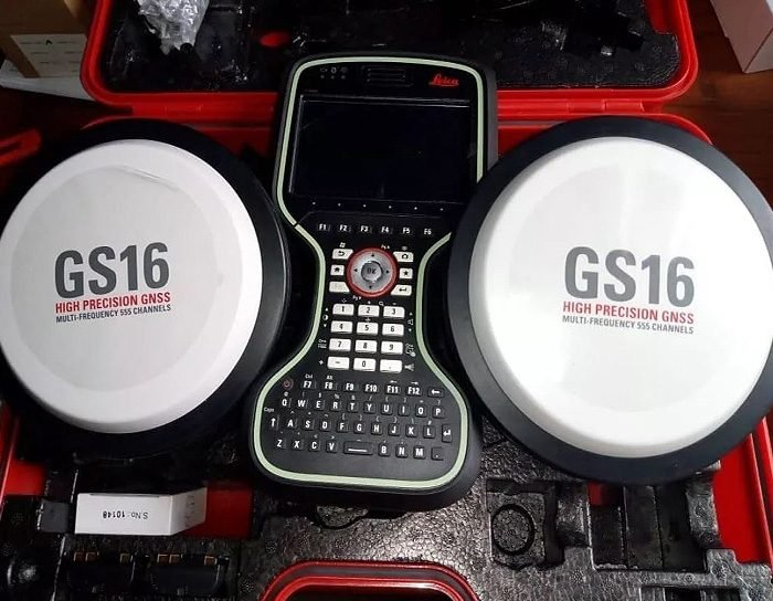
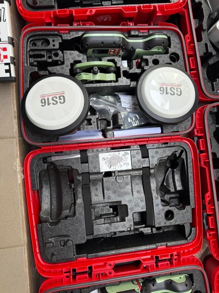
Product details
Leica GS16 RTK GNSS Receiver: High-Performance Positioning for Surveying Professionals
The Leica GS16 RTK GNSS Receiver is a powerful and versatile positioning solution developed by Leica Geosystems. Built to deliver reliable and accurate GNSS data in challenging environments, the GS16 integrates advanced satellite tracking, tilt compensation, and robust connectivity for modern surveying workflows.
Key Features of Leica GS16
Multi-Constellation GNSS Tracking
The GS16 supports GPS, GLONASS, Galileo, and BeiDou, ensuring stable positioning even in difficult conditions such as urban canyons or dense vegetation.
RTK and Network RTK Capability
Real-Time Kinematic (RTK) technology provides centimeter-level accuracy for real-time positioning, improving productivity in the field.
Tilt Compensation (Optional)
Integrated tilt measurement allows users to capture points without perfectly leveling the pole, increasing efficiency and safety.
Rugged and Field-Ready Design
Designed for harsh environments, the GS16 offers durability, weather resistance, and long-term reliability.
Benefits for Surveying Professionals
High Accuracy in Real-Time
RTK technology ensures precise positioning for critical surveying tasks.
Increased Productivity
Fast initialization and reliable signal tracking reduce downtime.
Flexible Deployment
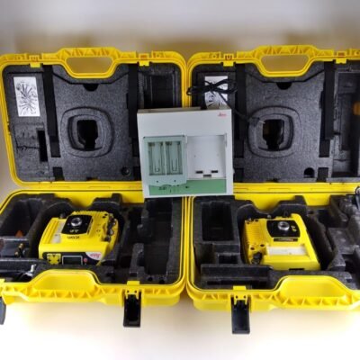
Suitable for both base and rover configurations in various surveying applications.
Applications of Leica GS16
Land Surveying
Ideal for boundary surveys, topographic mapping, and cadastral work.
Construction Layout
Accurate positioning for site layout and infrastructure projects.
GIS Data Collection
Supports efficient and precise geospatial data capture.
Infrastructure & Engineering
Used in road construction, utilities mapping, and large-scale development.
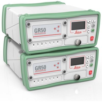
Specifications of Leica GS16 RTK GNSS Receiver;
General Information
- Manufacturer: Leica Geosystems
- Product Type: GNSS RTK Receiver
- Use: Base and Rover
GNSS Tracking
- Satellite Systems:
- GPS (L1, L2, L5)
- GLONASS (L1, L2)
- Galileo (E1, E5a, E5b)
- BeiDou (B1, B2)
- QZSS (regional)
- Channels: 555 channels
- Signal Tracking: Multi-frequency
Positioning Accuracy
RTK Accuracy
- Horizontal: 8 mm + 1 ppm
- Vertical: 15 mm + 1 ppm
Static / Post-Processed
- Horizontal: 3 mm + 0.5 ppm
- Vertical: 5 mm + 0.5 ppm
DGPS Accuracy
- Sub-meter level
Initialization & Performance
- Initialization Time: < 10 seconds
- Reacquisition Time: < 1 second
- Update Rate: Up to 20 Hz
Tilt Compensation (Optional)
- Technology: IMU-based tilt compensation
- Tilt Range: Up to 30°
- Accuracy: Maintains RTK accuracy within tilt limits
Communication & Connectivity
Internal Radio (Optional)
- Frequency: 403–470 MHz / 902–928 MHz
- Protocols: Multiple (Leica, Satel, etc.)
Cellular Communication
- 4G LTE / 3G / 2G support
- SIM card slot for network RTK
Wireless Connectivity
- Bluetooth
- WLAN (Wi-Fi)
Ports
- USB
- Serial (RS232)
Data & Storage
- Internal Memory: 8 GB
- Data Logging: Raw GNSS data and RINEX support
- File Formats: Compatible with standard surveying formats
Power Supply
- Battery Type: Internal Lithium-Ion
- Operating Time: Up to 7–9 hours
- Charging: USB / external charger
Environmental Specifications
- Protection Rating: IP68 (dustproof & waterproof)
- Operating Temperature: -40°C to +65°C
- Shock Resistance: Designed for field conditions
- Humidity: 100% condensation resistant
Physical Specifications
- Weight: Approx. 1.25 kg
- Dimensions: Compact handheld receiver
- Mounting: Standard survey pole mount
Software Compatibility
- Field Software: Leica Captivate
- Office Software: Leica Infinity
- Integration: CAD, GIS, BIM workflows
Key Technologies
- SmartTrack+ GNSS engine
- RTK positioning
- IMU tilt compensation
- Multi-constellation tracking
- Advanced interference mitigation
Why Choose Leica GS16?
Reliable GNSS Performance
Ensures consistent accuracy even in challenging environments.
Flexible Connectivity Options
Supports radio, cellular, and wireless communication.
Leica Ecosystem Integration
Seamless compatibility with Leica software and surveying solutions.
There are no reviews yet.