

Product details
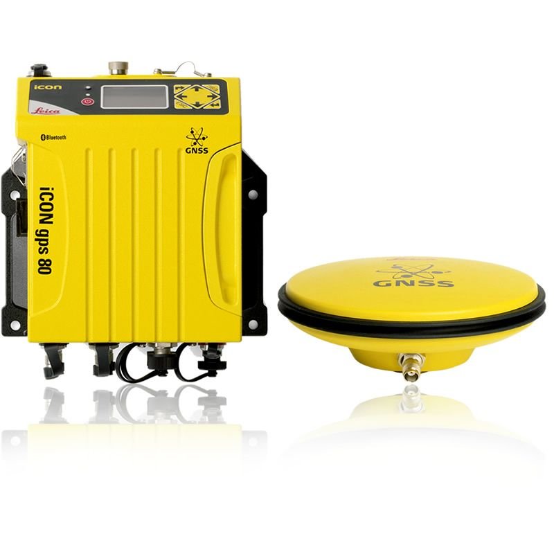
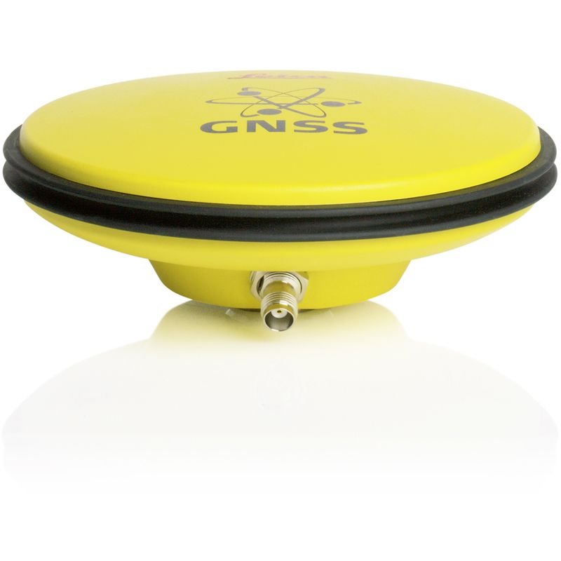
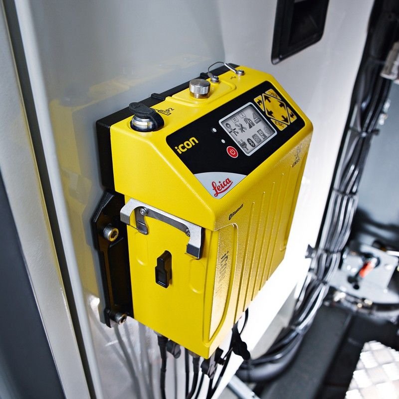
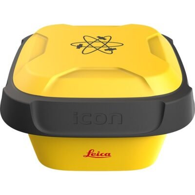
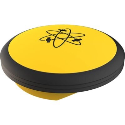
Leica iCON GPS 80 GNSS System
Advanced GNSS Positioning Solution for Construction and Surveying
The Leica iCON GPS 80 GNSS System is a high-performance GNSS smart antenna designed for modern construction layout, machine control, surveying, and site positioning applications. Engineered by Leica Geosystems, the system delivers exceptional positioning accuracy, rugged durability, and intelligent field connectivity for demanding construction environments.
Designed for seamless integration with Leica iCON construction workflows, the iCON GPS 80 provides reliable real-time positioning and enhanced productivity for contractors, engineers, and survey professionals.
Why Choose Leica iCON GPS 80 GNSS System
High-Precision GNSS Technology
The Leica iCON GPS 80 uses advanced multi-frequency GNSS tracking technology to deliver precise positioning performance even in challenging environments such as urban construction sites, partially obstructed areas, and complex infrastructure projects.
Rugged Construction-Ready Design
Built specifically for harsh construction conditions, the system features a durable industrial-grade housing capable of resisting dust, water, shock, and vibration.
Seamless Leica iCON Integration
The receiver integrates directly with Leica iCON field software, machine control systems, robotic total stations, and cloud-based construction workflows.
Fast Initialization and Reliable Tracking
The GNSS engine ensures rapid signal acquisition and stable satellite tracking for improved field efficiency and reduced downtime.
Key Features of Leica iCON GPS 80
Intelligent GNSS Smart Antenna
The system combines GNSS receiver technology, antenna performance, wireless communication, and onboard processing into a compact smart antenna solution.
Benefits
- Reduced cable complexity
- Faster setup time
- Improved portability
- Reliable field deployment
Multi-Constellation Satellite Tracking
The iCON GPS 80 supports modern global satellite constellations for maximum positioning reliability and improved accuracy.
Supported Satellite Systems
- GPS
- GLONASS
- Galileo
- BeiDou
- QZSS
- SBAS
RTK Positioning Technology
The receiver supports Real-Time Kinematic (RTK) correction services for centimeter-level positioning accuracy in real-time field operations.
RTK Advantages
- Faster layout operations
- High-precision stakeout
- Improved machine guidance
- Accurate elevation control
Tilt Compensation Technology
Advanced tilt compensation allows operators to capture points accurately without perfectly leveling the survey pole.
Productivity Advantages
- Faster point collection
- Reduced operator fatigue
- Improved efficiency in difficult terrain
- Easier operation near obstacles
General Specifications
| Specification | Details |
|---|---|
| Product Name | Leica iCON GPS 80 GNSS System |
| Product Type | GNSS Smart Antenna |
| Manufacturer | Leica Geosystems |
| Primary Applications | Construction Layout, Surveying, Machine Control |
| GNSS Technology | Multi-Frequency GNSS Receiver |
| Positioning Method | RTK, DGPS, Static, Network RTK |
| Form Factor | Integrated Smart Antenna |
| Field Operation | Construction & Survey Grade |
| Operating Mode | Rover / Base Station |
| Data Communication | Wireless & Cellular |
| Workflow Integration | Leica iCON Construction Platform |
GNSS Tracking Specifications
Satellite Tracking Performance
| Specification | Details |
|---|---|
| GPS Tracking | Supported |
| GLONASS Tracking | Supported |
| Galileo Tracking | Supported |
| BeiDou Tracking | Supported |
| QZSS Support | Supported |
| SBAS Support | Supported |
| Multi-Frequency Tracking | Supported |
| Signal Acquisition | High-Speed |
| Signal Retention | Advanced |
| RTK Correction Capability | Supported |
| Static Survey Capability | Supported |
| PPP Compatibility | Supported |
| Satellite Channel Capacity | High-Capacity Multi-Channel Engine |
| GNSS Update Rate | High-Speed Real-Time Updates |
Positioning Accuracy Specifications
Accuracy Performance
| Specification | Details |
|---|---|
| RTK Horizontal Accuracy | Centimeter-Level |
| RTK Vertical Accuracy | High Precision Elevation |
| Static Positioning Accuracy | Survey Grade |
| Network RTK Support | Supported |
| Repeatability | Excellent |
| Long Baseline RTK | Supported |
| Precision Stakeout | Supported |
| Dynamic Positioning Accuracy | High Stability |
| Initialization Time | Rapid |
| Signal Recovery | Fast Reacquisition |
Tilt Compensation Specifications
IMU & Tilt Technology
| Specification | Details |
|---|---|
| Tilt Compensation | Supported |
| IMU Integration | Advanced Inertial Sensors |
| Calibration System | Automatic |
| Magnetic Interference Reduction | Supported |
| Pole Tilt Operation | Enabled |
| Calibration Stability | Long-Term |
| Point Measurement Without Leveling | Supported |
| Dynamic Motion Compensation | Supported |
Communication Specifications
Wireless & Connectivity Features
| Specification | Details |
|---|---|
| Bluetooth Connectivity | Supported |
| Wi-Fi Connectivity | Supported |
| Cellular Modem | Supported |
| Radio Communication | Optional |
| NTRIP Support | Supported |
| Cloud Synchronization | Supported |
| Remote Configuration | Supported |
| Data Streaming | Real-Time |
| USB Connectivity | Supported |
| Serial Communication | Supported |
Construction Workflow Specifications
iCON Integration
| Specification | Details |
|---|---|
| Leica iCON Compatibility | Full Integration |
| Machine Control Integration | Supported |
| BIM Workflow Support | Supported |
| CAD File Support | Supported |
| Stakeout Workflow | Optimized |
| Construction Layout | Supported |
| Earthmoving Applications | Supported |
| Road Construction Workflow | Supported |
| Utility Installation Workflow | Supported |
| Site Preparation Workflow | Supported |
Physical Specifications
Hardware Design
| Specification | Details |
|---|---|
| Housing Material | Rugged Industrial Composite |
| Protection Rating | Construction-Grade Environmental Protection |
| Water Resistance | Supported |
| Dust Resistance | Supported |
| Shock Resistance | Industrial Grade |
| Vibration Resistance | Supported |
| Weight | Lightweight Portable Design |
| Mounting Compatibility | Standard Survey Mounts |
| Pole Compatibility | Supported |
| Compact Design | Optimized for Field Mobility |
Power Specifications
Battery & Power Management
| Specification | Details |
|---|---|
| Battery Type | Rechargeable Lithium-Ion |
| Operating Time | Full-Day Operation Capability |
| External Power Support | Supported |
| Hot-Swap Capability | Supported |
| Intelligent Power Management | Supported |
| Charging Interface | Standard Industrial Charging |
| Low Power Consumption | Optimized |
Environmental Specifications
Field Durability
| Specification | Details |
|---|---|
| Operating Environment | Construction & Survey Sites |
| Extreme Temperature Operation | Supported |
| Humidity Resistance | Supported |
| Dusty Environment Operation | Supported |
| Rain Operation | Supported |
| Harsh Outdoor Conditions | Optimized |
| UV Resistance | Supported |
| Industrial Site Compatibility | Supported |
Software Compatibility
Supported Software Ecosystem
| Software Type | Compatibility |
|---|---|
| Leica iCON Software | Supported |
| Leica Captivate | Supported |
| CAD Platforms | Supported |
| BIM Platforms | Supported |
| GIS Software | Supported |
| Machine Control Software | Supported |
| Cloud Collaboration Platforms | Supported |
| Construction Management Systems | Supported |
Applications of Leica iCON GPS 80
Construction Layout
The system enables accurate stakeout and positioning for building construction, foundations, utilities, and infrastructure development.
Typical Tasks
- Building corners
- Utility positioning
- Foundation layout
- Structural alignment
Earthmoving & Machine Control
The GNSS receiver supports machine guidance systems for grading, excavation, and earthmoving operations.
Supported Machines
- Excavators
- Bulldozers
- Graders
- Pavers

There are no reviews yet.